


Contact Us
Please feel free to call our offices, where you can always speak with a guide.Sign Up for Our Newsletter
-
Location
30027 SR 706 East
Ashford, WA 98304 -
Email
-
Mail
RMI Expeditions
Post Office Box Q
Ashford, WA 98304 -
Telephone
1-888-89-CLIMB
(1-888-892-5462)
Local: 360-569-2227
Fax: 360-569-2982
Map
Directions
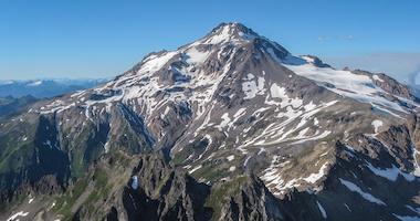
Mount Rainier National Park, located in west-central Washington, is approximately 105 miles from Seattle. The Nisqually Entrance, located at the Park's southwest corner, is open year-round.
Travelers driving from eastern Wahington may enter the Park directly during the summer, but Chinook Pass and Cayuse Pass on SR 410 are closed in the winter.
Rainier BaseCamp is located six miles from the Nisqually Entrance to Mount Rainier National Park in Ashford. Please stop and visit RMI, Whittaker Mountaineering, Whittaker's Bunkhouse, and BaseCamp Bar and Grill.
-
From Seattle
-
Print | Google Maps
South on I-5 to SR 512 (Exit 127). East on SR 512 to SR 7 for approximately 2.2 miles. South on SR 7 to SR 706 in Elbe (36 miles). East on SR 706 to Ashford (7.5 miles).
-
From SeaTac
-
Print | Google Maps
North on WA-509 1.1 miles. Exit toward I-5/Renton. Merge onto WA-518 E, 3.4 miles. Continue onto I-405 N, 1.8 miles. Take exit 2 to merge onto WA-167 S toward Auburn, 20.1 miles. Take the exit onto WA-512 W toward WA-161 S/Puyallup/Olympia, 3.5 miles. Take the exit toward Eatonville. Turn left onto 31st Avenue SW. Continue straight onto WA-161 S/Meridian Ave E. Continue to follow WA-161 S, 22.7 miles. Turn right onto Larson Street E. Turn left onto Mashell Avenue S. Continue onto WA-161 S/Eatonville Lagrande Road. Take a slight left onto WA-7 S/Mountain Hwy E/National Park Hwy. Continue to follow National Park Hwy, 17.5 miles.
-
From Tacoma
-
Print | Google Maps
East on SR 512 to SR 7, approximately 2.2 miles. South on SR 7 to SR 706 in Elbe (36 miles). East on SR 706 to Ashford (7.5 miles).
-
From Portland
-
Print | Google Maps
North on I-5 to US 12 (Exit 68), approximately 70 miles. East on US 12 to SR 7 in Morton (30 miles). North on SR 7 to SR 706 in Elbe (17 miles). East on SR 706 to Ashford (7.5 miles).
From Yakima
-
FROM YAKIMA THROUGH MT. RAINIER NATIONAL PARK (SUMMER ONLY):
-
Print | Google Maps
West on US 12 to SR 123. North on SR 123 to the Stevens Canyon entrance. Follow Stevens Canyon Road west to an intersection. Go left down the road through Longmire and out the Nisqually Entrance. Continue West on SR 706 to Ashford (6 miles).
-
FROM YAKIMA THROUGH MORTON
-
Print | Google Maps
West on US 12 to SR 7, approximately 103 miles. North on SR 7 to SR 706 in Elbe (17 miles). East on SR 706 to Ashford (7.5 miles).


