

Mt. Rainier Weather Info
Live Webcams:

-
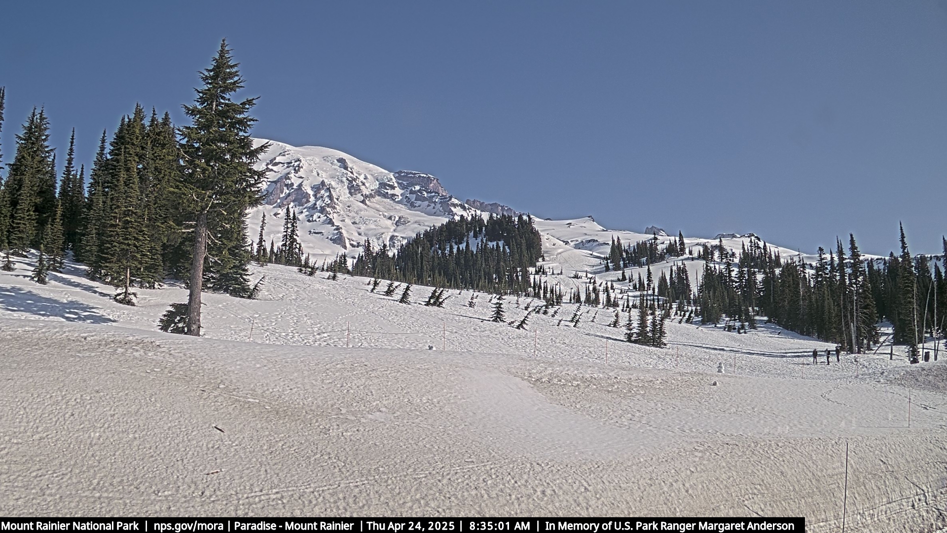
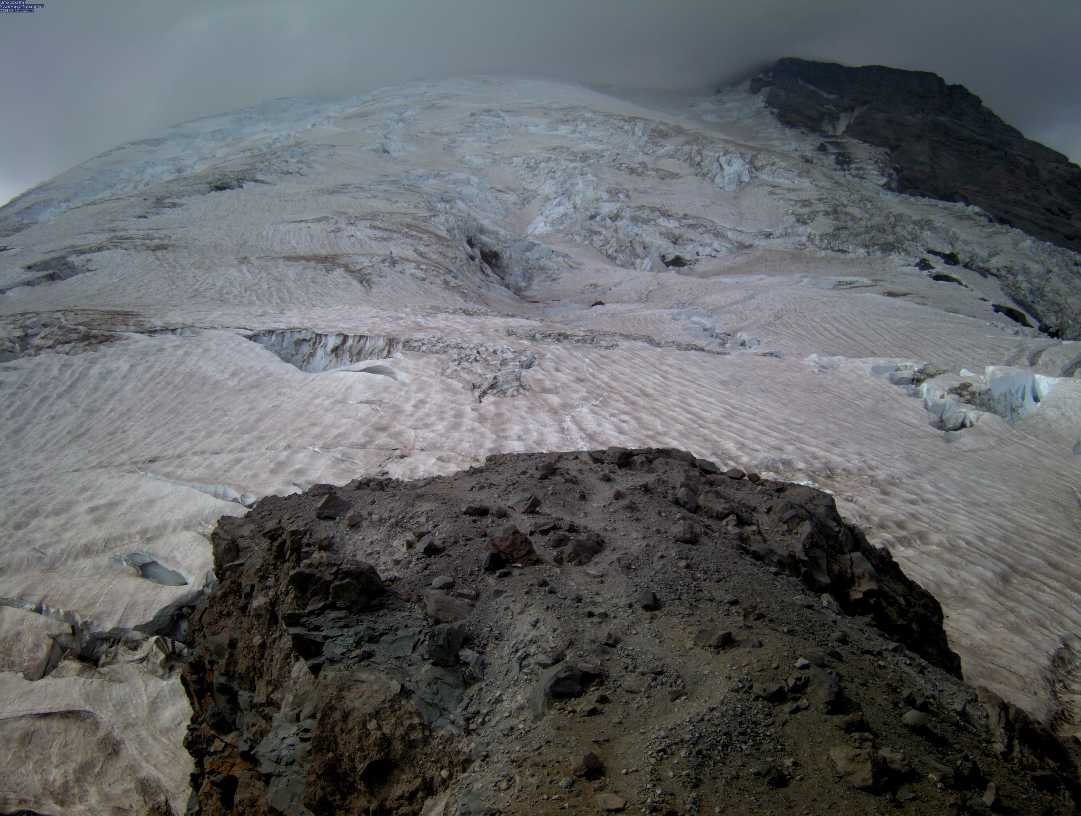
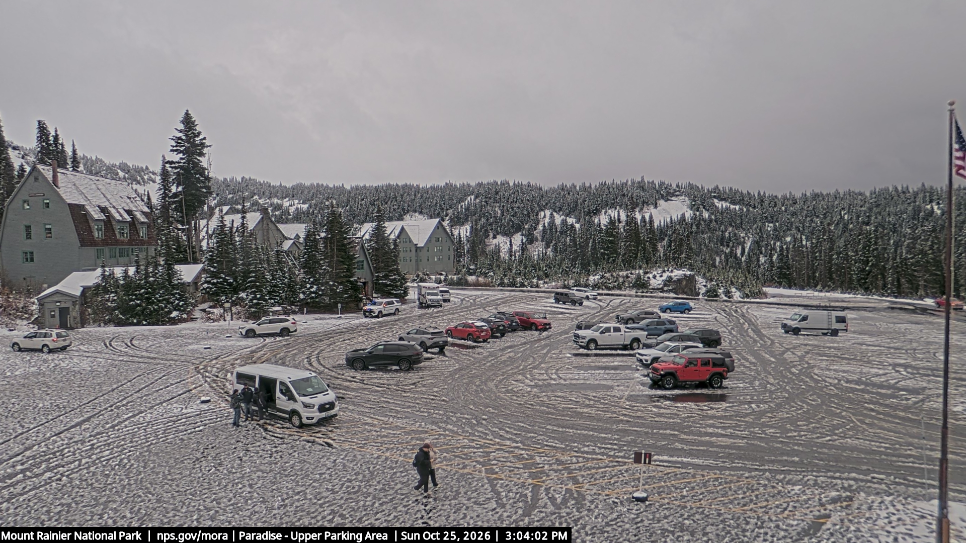
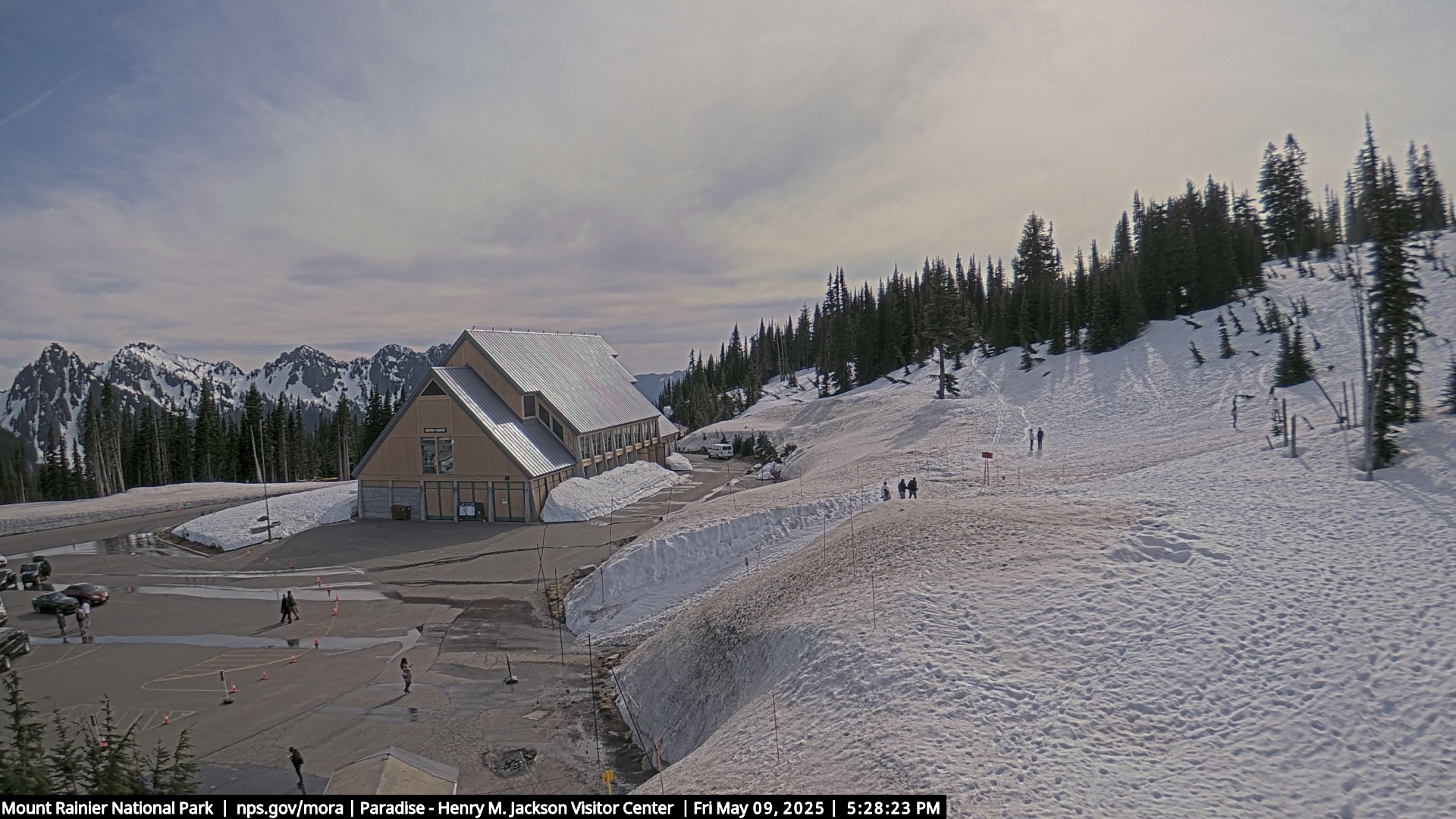
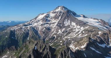
Mt. Rainier Cam
Weather and Telemetry InfoPrint this PageParadise Telemetry
Time
(PDT)Temp
F
5400'RH
%
5400'Min
mph
5380'Spd
mph
5380'Gust
mph
5380'Dir
deg
5380'Pcp1
in
5400'24Sno
in
5400'SnoHt
in
5400'SR
W/m**2
5380'6/28 00:00 39 100 0 3 6 N/A 0.02 13 1 - 6/27 23:00 39 100 0 2 4 N/A 0.01 13 0 - 6/27 22:00 39 100 0 1 3 N/A 0 13 -1 - 6/27 21:00 39 100 1 3 7 N/A 0 13 -1 - 6/27 20:00 40 100 1 3 7 N/A 0 13 -1 - 6/27 19:00 40 100 2 5 9 N/A 0 13 0 - 6/27 18:00 41 96 1 5 11 N/A 0 13 0 - 6/27 17:00 41 99 0 7 16 N/A 0 13 -1 - 6/27 16:00 41 100 3 8 15 N/A 0 14 -1 - 6/27 15:00 41 100 0 4 14 N/A 0 14 -1 - 6/27 14:00 39 100 0 7 16 N/A 0 14 0 - 6/27 13:00 39 100 0 5 16 N/A 0 13 0 - 6/27 12:00 38 100 0 7 19 N/A 0 13 1 - 6/27 11:00 36 100 0 5 18 N/A 0.01 13 2 - 6/27 10:00 36 100 5 9 22 N/A 0 13 1 - 6/27 09:00 35 100 5 10 17 N/A 0 13 1 - 6/27 08:00 35 100 4 8 13 N/A 0 13 1 - 6/27 07:00 34 100 3 6 11 N/A 0 14 1 - 6/27 06:00 34 100 3 8 16 N/A 0 13 1 - 6/27 05:00 34 100 6 12 19 N/A 0 12 2 - 6/27 04:00 35 100 5 10 18 N/A 0 12 2 - 6/27 03:00 37 100 0 8 20 N/A 0 13 2 - 6/27 02:00 37 100 4 7 18 N/A 0 13 1 - 6/27 01:00 37 100 4 8 16 N/A 0.01 14 2 - Print this PageCamp Muir Telemetry
Time
(PDT)Temp
F
10110'RH
%
10110'Min
mph
10110'Spd
mph
10110'Gust
mph
10110'Dir
deg
10110'SR
W/m**2
10110'6/28 00:00 27 75 1 6 20 N/A 4 6/27 23:00 25 84 0 5 15 N/A 5 6/27 22:00 24 92 0 1 6 N/A 59 6/27 21:00 26 92 0 2 8 N/A 139 6/27 20:00 26 96 0 1 6 N/A 138 6/27 19:00 28 94 0 4 9 N/A 271 6/27 18:00 29 97 0 7 13 N/A 430 6/27 17:00 31 88 2 6 11 N/A 748 6/27 16:00 31 97 2 8 13 N/A 789 6/27 15:00 30 98 2 8 16 N/A 691 6/27 14:00 29 97 0 7 14 N/A 732 6/27 13:00 28 96 0 3 13 N/A 796 6/27 12:00 29 94 0 3 8 N/A 650 6/27 11:00 26 87 0 2 5 N/A 658 6/27 10:00 27 76 0 3 9 N/A 515 6/27 09:00 27 63 0 2 5 N/A 400 6/27 08:00 24 70 0 2 6 N/A 71 6/27 07:00 22 72 0 3 7 N/A 16 6/27 06:00 20 88 0 1 8 N/A 4 6/27 05:00 20 94 0 4 11 N/A 4 6/27 04:00 22 97 0 4 13 N/A 4 6/27 03:00 22 96 0 2 6 N/A 4 6/27 02:00 22 96 0 3 6 N/A 4 6/27 01:00 23 98 0 3 8 N/A 4