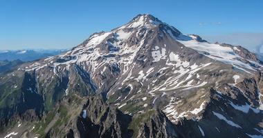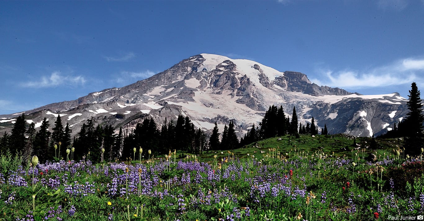
Rising 14,410 feet above sea level and located just 50 miles southeast of Seattle, Mt. Rainier is the centerpiece of Mt. Rainier National Park and the highest volcanic peak in the Cascade Range that stretches from Washington through Oregon and into northern California. Established on March 2, 1899, by President William McKinley as the nation's fifth national park, Mt. Rainier National Park has become an integral cultural landscape for over 2 million visitors that come to the Park every year to study and explore everything from its alpine glaciers and volcanic strata (sedimentary rock and soil layers), to the subalpine wildflower meadows and ancient forests that flank the mountain's lower slopes.
The National Park Service (NPS) celebrated it's centennial on August 25, 2016 recognizing 100 years of stewardship of our country's national parks. The NPS strives to engage communities through recreation, conservation, and historic preservation programs that educate visitors on the unique cultural landscapes that define our parks and the significance in working for their preservation.
The cultural landscapes of Mt. Rainier National Park are a product of the distinctive ecosystems, geology and glaciology, early settlers and native communities, and historical significance in the world of climbing and exploration. By entering the Park as visitors and climbers, it is our responsibility to respect the rich cultural and ecological history of the Park, and act as stewards in the preservation of this unique and fragile environment.
As climbers we spend a great deal of time, effort, and resources to create a successful and memorable mountain experience. Equally important to the gear list and mountaineering skills required to undertake a summit climb is an understanding of the history behind the environment with which we will so intimately interact. It is a privilege to be able to challenge ourselves and find enjoyment amongst these amazing landscapes. We encourage you to explore the below topics in preparation for your climb.
Mt. Rainier National Park boasts a variety of ecosystems and is sought out by scientists and students who come to perform studies and do research on climate change, animal and plant life, geology, glaciology and volcanic activity. Mt. Rainier is an active volcano and is in a constant state of change, although not always easily visible to the human eye. The interaction of the Park's diverse and changing ecosystems and natural features plays a critical role in understanding the effects of climate change and how it is altering the landscape of Mt. Rainier.
Mt. Rainier National Park encompasses 236,381acres on the west-side of the Cascade Range, and is approximately 97 percent wilderness and 3 percent National Historic Landmark District. The Park contains 25 named glaciers across 9 major watersheds, with 382 lakes and 470 rivers and streams and over 3,000 acres of other wetland types. This complex ecosystem produces varied climatic and environmental conditions across the Park's 12,800-foot elevation gradient. Forest ages range from less than 100 years old to old-growth stands of more than 1,000 years. Some alpine heather populations have existed in the Park for up to 10,000 years.
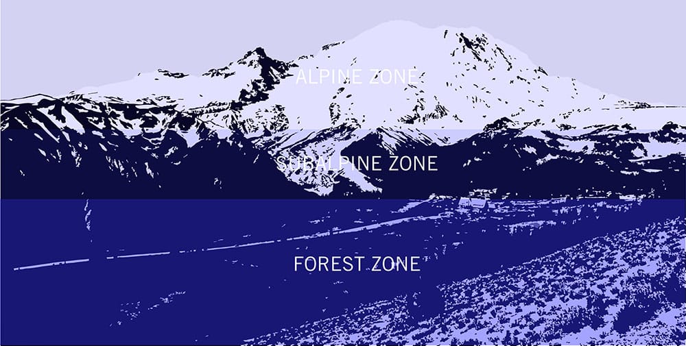

Over half (approximately 58 percent) of the Park is covered by forest and can be divided into low-, mid- and high-elevation forests starting at approximately 1,700 feet (500 meters) and rising to approximately 6,000 feet (1,800 meters). These individual elevation bands nurture different species and ages of trees that are affected by aspect (exposure to the sun), elevation, snowpack duration, and areas of disturbance such as those affected by fires, debris flows, or those exposed by receding glaciers. Below is a description of the different species of trees within the Forest Zone that you will see in the Park.
As you ascend higher in elevation, trees become less dense and the forest transitions into subalpine terrain that makes up approximately twenty-three percent of the Park and consists of sporadic tree groupings set amongst meadows from approximately 5,000 feet to 7,000 feet. This subalpine zone is home to the lush meadows of wildflowers that bloom once the snowpack has melted, sometimes not until late June, if not later, and are one of Mt. Rainier's most sought after attractions. These wildflowers bloom aggressively in order to take advantage of the short growing season. There are five general vegetation types found in the meadows. Learn more about them in the descriptions below.

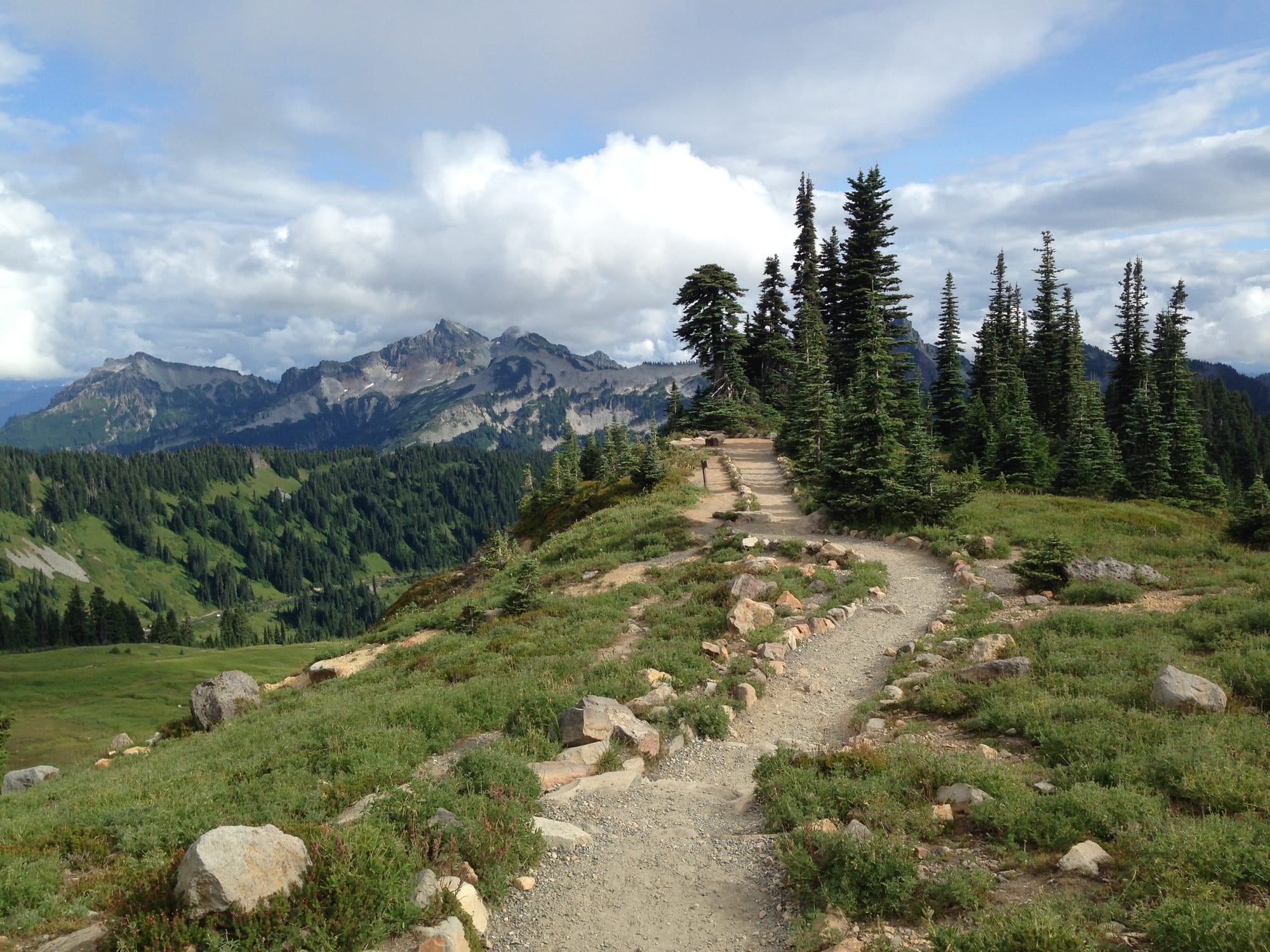
This zone encompasses the remainder of the Park extending from the treeline to the mountain's summit, half of which is permanently covered by snow and ice. A few select species of alpine vegetation are able to survive in this zone and can be found in fell fields, talus slopes, snow beds and heather communities. The heather types in the Park are the oldest known plant community in the Park and are estimated to have been around for up to 10,000 years. The talus slopes and snow beds have small, well-spaced groups of plants that are often overlooked by visitors. Much like the forest and subalpine zones, the type and location of these organisms is controlled by length of growing season, slope, and aspect (exposure to the sun). You will (often unknowingly) encounter many of these alpine vegetation types on the hike to Camp Muir at a variety of elevations. Take special care to not disturb these plants. The harsh environment and short growing season in which they persist makes these plants especially sensitive to our presence and not likely to regenerate if damaged.
There are over 964 species of plants (hundreds of which are wildflowers) and approximately 275 species of birds, mammals, amphibians, reptiles, native fish and insects, some of which are federally listed as species of concern or imperiled species of concern by the state of Washington. Species that have historically occurred in the Park but are no longer believed to be present include the gray wolf, grizzly bear, and Canada lynx.
On any given day exploring the trails in the Park, setting out for a climb, or spending time at Camp Muir, you are likely to see multiple species of birds, rodents, hooved animals and occasionally other large mammals such as black bears and elk. Marmots, chipmunks and black-tailed deer are frequently seen on the trails around Paradise as you hike out to school or begin your climb to Camp Muir. Black bears (sometimes with their cubs) can also be seen along these trails and are known to inhabit many different areas during the summer. If you're lucky, you can spot the occasional mountain goat higher in the subalpine or alpine areas. Camp Muir is visited by foxes that have been known to eat food from climbers' packs and tents. They have become habituated to our presence at Camp Muir and climbers should diligently manage their food and trash by not storing food outside in packs or tents, and packing out all trash when you descend from your climb. In doing this, we can help minimize our impact on the climbing route and practice sustainable climbing.
Some of these species have become habituated to our presence in the Park and will often allow you to be in close proximity to them as you walk by. As exciting as this can be to get an up close view of these creatures, we ask that all of our climbers avoid attempting to interact with them or feed them as this creates a positive association with human presence that can be harmful to their natural, biological and survival behaviors. Learn more about some of these animals below.

Mountain Goat: In contrast to their shaggy all-white coats, Mountain Goats have black lips, eyes, noses, and hooves. A dense warm undercoat allows them to live comfortably at high elevations even during winter. Their hooves have a hard outer ring with a spongy center that helps them "stick" to rocks. Mountain goats are nimble climbers, easily traversing steep rock slopes and cliffs and can be found in subalpine and alpine regions in the Park.

Black-tailed Deer: Black-tailed Deer are a sub-species of Mule Deer found west of the Cascade Mountains. Black-tailed Deer have all black tails and have large, fuzzy, mule-like ears, red-brown coats, and white rumps. These deer are found widely in the park's forested regions. In summer, bucks will move to higher elevations while does and fawns stay at lower regions. Deer are most active at dawn and dusk and they eat a variety of grasses and vegetation.

Yellow Pine Chipmunks: The Yellow Pine Chipmunk is the more common chipmunk species in the Park, found in a wide range of habitat from meadows to coniferous forests. They can be tawny to pinkish cinnamon in color, with three dark and two light stripes on the face, and five dark and four light stripes on the back. Yellow Pine Chipmunks love berries, but will also feed on nuts, seeds, grasses, mushrooms, and the occasional insect.

Hoary Marmot: Hoary Marmots are common in the subalpine regions in the Park, where they eat vast amounts of meadow vegetation. They are named for the grizzled grey fur on their shoulders and upper back, which fades to brown on the lower back. The Marmot hibernates during the winter and can sleep more than half the year in its burrow until the snow melts. Marmots are sometimes called "Whistlers" for the shrill whistle call they can make to warn against the presence of potential predators. Marmots are seen frequently on the hike to our school training sites as well as on the lower portion of the hike to Camp Muir.
Species Conservation
Climate change puts pressure on ecosystems and the species that live there. Mt. Rainier National Park has several species that are listed as species of concern or threatened. These include:
The vegetation of Mt. Rainier National Park is incredibly diverse. The variations in climate and elevation throughout the Park create a range of habitats that support an extensive number of plant species throughout the forest, subalpine and alpine zones. Perhaps the most notable and admired are the wildflower species that bloom in abundance during the summer months. Once the snow melts, the forest and subalpine regions almost immediately begin to fill with wildflowers and brilliant colors that draw many visitors to the Paradise area. Due to the short growing season for these wildflowers, they bloom profusely in order to reproduce as quickly as possible before the snow returns. Some of the commonly seen species around Paradise and throughout the Park are shown in the photos below.
Magenta_Paintbrush_NPS.jpg)
Magenta Paintbrush: Easily identifiable by it's bright pink "magenta" color, this paintbrush is one of many species of paintbrush found in the Park. Plant grows to about 6-12 inches (15-30 cm) tall, and leaves have 1-2 slender lobes. Abundant in subalpine meadows, particularly in the Sunrise area.
Sitka_Mountain_Ash_NPS.jpg)
Sitka Mountain Ash: This six foot-high (2 meters) shrub grows in thickets and is widespread above about 4,500 feet (1,400 meters). Flowers in tight clusters at the ends of branches, and produces bright red berries favored as a food source by birds and other wildlife. These can be easily spotted along the paths around Paradise after we depart the parking lot.
Pasqueflower-Western_Anemone_NPS.jpg)
Pasqueflower / Western Anemone: The entire plant is coated in long hairs, with segmented leaves and 4-12 inches (10-30 cm) tall flowering stem. The feather-like "mouse-on-a-stick" seedhead (pictured right) is a common sight in Mt. Rainier's meadows, particularly in Edith Creek Basin and along the trails around Paradise.
Pink_Mountain_Heather_NPS.jpg)
Pink Mountain Heather: Forms low, branched mats with stems 4-16 inches (10-40 cm) tall and covered with alternating, needle-like evergreen leaves. Common in subalpine meadows between 5,000-8,000 feet (1,500-2,400 meters).
White_Mountain_Heather_NPS.jpg)
White Mountain Heather: Easily visible on the trails in some areas as you hike above Paradise to school sites and Camp Muir in the higher subalpine elevations. Small, scale-like evergreen leaves arranged in four rows cover stems up to 12 inches (30 cm) long. Common in subalpine Parkland, where it can form extensive mats.
Scarlet_Paintbrush_NPS.jpg)
Scarlet Paintbrush: Very common (also known as "Common Red Paintbrush"), mostly found above 5,000 feet (1,524 meters). This paintbrush stands 8-16 inches (20-40 cm) tall with lance-shaped leaves. The leaves are a good way to distinguish this paintbrush from other paintbrush species, which have lobed leaves.
Edible_Thistle_NPS.jpeg)
Edible Thistle: Easily identified by its purple, fuzzy flowers and spiny leaves, thistle has stout, leafy stems, ranging from 20-80 inches (50-200 cm) tall. Found throughout the Park in open forest, hillsides, and along roads.
Dwarf_Lupine_NPS.jpg)
Dwarf Lupine: Along with the closely related Broadleaf Lupine, the Dwarf Lupine is perhaps one of the most recognizable wildflowers in the Park because of its color and abundance. Less than 6 inches (15 cm) tall, this smaller relative of Broadleaf Lupine (Lupinus latifolius) grows at higher elevations in the Park, generally above 7,000 feet (2,100 meters). Grows to form mats with a stout, woody base, and silvery leaves with 5-7 leaflets.
Cascade_Aster_NPS.jpg)
Cascade Aster: Though the purple flowers are similar to Alpine Aster (Oresostemma apligenum), this plant is marked by multiple flowers on each stem, not just one, and also grows to be much taller, reaching 24 inches (60 cm) high. Leaves are hairless on top, woolly underneath, and smaller lower on the stem. Common in subalpine meadows above 5,000 feet (1,524 meters).
Broadleaf_Lupine_NPS.jpg)
Broadleaf Lupine: Along with the closely related Dwarf Lupine, the Broadleaf Lupine is perhaps one of the most recognizable wildflowers in the Park because of its color and abundance. Branched, hairy stems between 12-24 inches (30-60 cm) tall, with 7-8 leaflets per leaf. Abundant in open areas and meadows throughout the Park's lower elevations up to about 5,000 feet (1,500 meters), where it tends to get replaced by the smaller but similar-looking Subalpine Lupine (Lupinus articus).
Broadleaf_Arnica_NPS_Steve_Redman.jpg)
Broadleaf Arnica: A common subalpine species; it can be found growing alone or in clustered groups formed from spreading rootstock. Stems reach about 20 inches (50 cm) in height, with oval, toothed leaves.
Avalanche_Lily_NPS.jpg)
Avalanche Lily: Avalanche Lilies can be seen on the hike through White River Campground and Glacier Basin on the Emmons route among other areas. Stems are 6-16 inches (15-40 cm) long, with usually 2-3 flowers each. It takes many years for these plants to begin flowering, but they grow in abundant colonies throughout subalpine regions in the park. They are often the first to flower along the edges of melting snow. Closely related to Glacier Lily.
American_Bistort_NPS.jpg)
American Bistort: Perennial with one to several unbranched flowering stems 8-28 inches (20-70 cm) tall and narrow, oblong basal leaves about 4-8 inches (10-20 cm) long. These flowers have a bottle brush type appearance and are very common in subalpine meadows, and can be one of the earliest flowers blooming at Paradise.
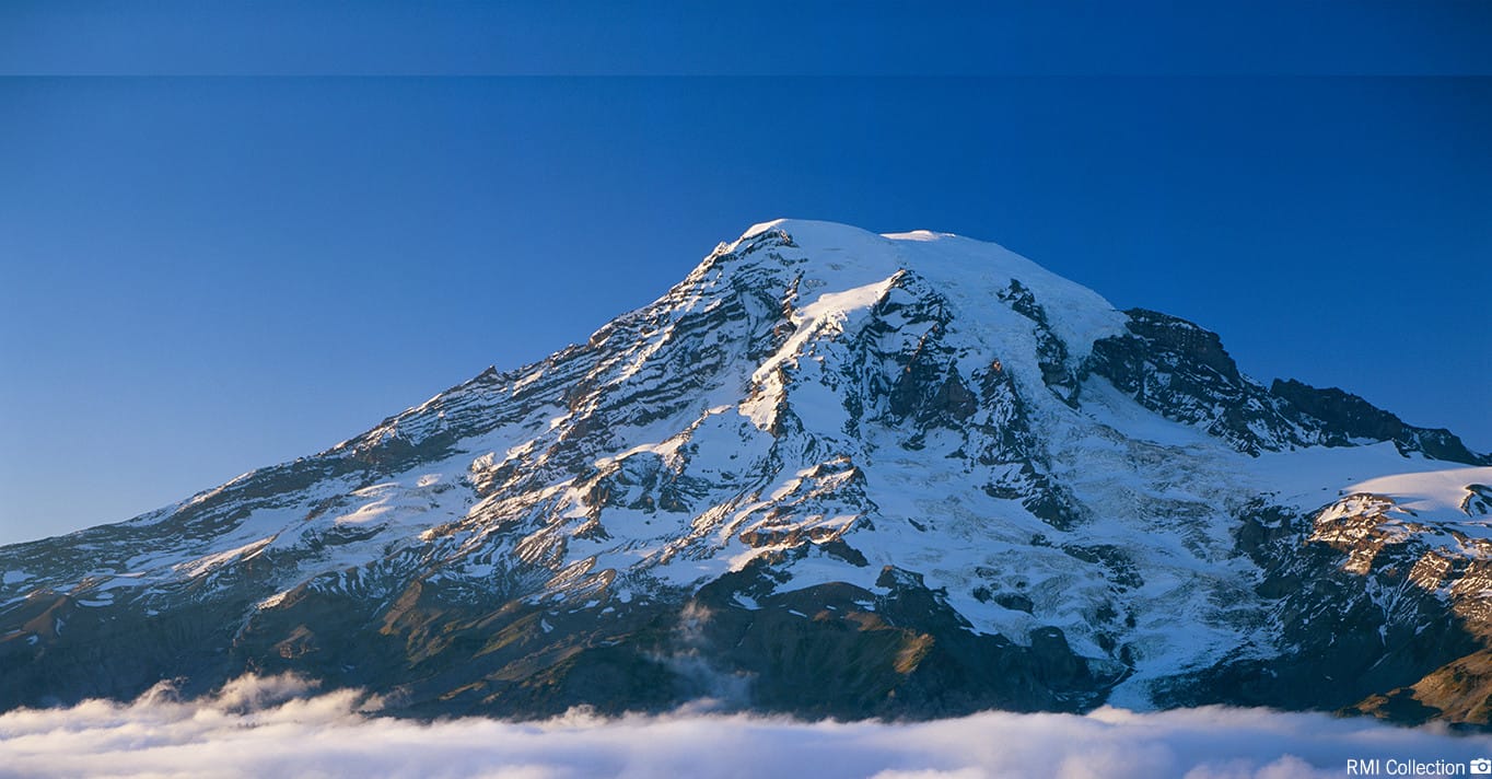
At 14,410 feet, Mt. Rainier is the most prominent peak in the Cascade Range and is considered an active volcano with its last minor eruption approximately 1,000 years ago. The mountain stands nearly three miles higher than the lowlands to the west and one and one-half miles higher than the adjacent mountains. Mt. Rainier has a topographic prominence of 13,211 feet which is greater than that of K2, the world's second tallest mountain.
Composed of mostly of andesite, Mt. Rainier has been highly eroded due to massive glacier activity and debris flows. It is very likely that Mt. Rainier once stood even higher than today at about 16,000 feet (4,900 meters) before a major debris avalanche and the resulting Osceola Mudflow occurred approximately 5,600 years ago. In the past, Mt. Rainier has had large debris avalanches, and has also produced enormous lahars (volcanic mudflows) due to the large amount of glacial ice present. These lahars have reached all the way to Puget Sound, a distance of more than 30 miles (48 kilometers).
Elevation: 14,410 ft (Columbia Crest)
Subsidiary Peaks: Point Success (14,158 ft) and Liberty Cap (14,112 ft)
Prominence: 13,211 ft
Range: Cascade Range
Type: Stratovolcano
Age: 500,000 years
Last Eruption: 1,000 Years Ago

About 40 million years ago, much of what is now western Washington lay beneath the sea. The volcanoes that were tall enough to stand above the sea level spread lava flows, lahars, and volcanic sediments across the entire region. About 10 million years ago compressional forces along the western margin of the North American Continent began to uplift rocks. This eventually led to the creation of today's Cascade Range, upon which the active volcanoes sit. Mt. Rainier grew from about 2 to 1 million years ago, and the modern volcano began to grow about 500,000 years ago.
Mt. Rainier grew in four major stages of alternating high- and low-volume eruptive activity, each averaging a little more than 100,000 years' duration. It was built by the accumulation of lava flows and rock rubble. During high-volume stages, lava flows traveled as far as 15 miles from the vent with single flows having a volume of as much as 2 cubic miles. During low-volume stages, lava flows rarely extended beyond 5 miles from the summit with individual flows typically no more than 0.24 cubic miles.
Glaciers have mantled Mt. Rainier for most or all of its 500,000-year lifespan and played an integral role in shaping the volcano. Many lava flows that erupted during ice ages were unable to melt entirely through the thick, valley-filling ice and instead chilled and hardened beside it. With continued eruptions, the lava would skirt the margins of the glaciers advancing only where ice was thin or absent. After retreat of the glaciers at the end of the Pleistocene, these lava flows were left perched high on the sides and crests of ridges, much like docks stranded along the shoreline of a shrinking lake or reservoir. This process accounts for why lava flows cap many of the ridges radiating from Mt. Rainier instead of filling the deep valleys.
Mt. Rainier is susceptible to lahars and debris flows because of the abundance of ice, loose volcanic rock, and surface water, and because some slopes have been weakened by the interaction of groundwater and volcanic gases. Lahars (previously called mudflows) consist of a hot or cold mixture of water and rock fragments that flow down the slopes of a volcano and typically enter a river valley. Debris flows are similar in character to lahars, but are unrelated to eruptive activity and are caused by increases in water from precipitation, glacier melt and glacier floods. Several lahars and debris flows contributed to the geological makeup of Mt. Rainier and the surrounding areas. There are three notable lahars that played a large role in the relatively recent geologic events.

The Osceola Mudflow of 5,600 years ago was Mt. Rainiers signature event during the Holocene (11,000 years ago to today). During a period of eruptions, the volcano's summit and northeast slope slid away, creating a 1-mile-wide horseshoe-shaped crater open to the northeast. This massive landslide removed 0.5 to 0.7 cubic miles (2 to 3 cubic kilometers) of rock, ice, and debris quickly turning into a fast-moving lahar that traveled through the present-day Enumclaw where it flowed and broadened toward and into the Puget Sound. Since that time, lava flows and other eruptive products refilled much of the crater and formed the present summit cone.
The National Lahar, which occurred sometime between 2,200 and 500 years ago, is one of many lahars that was formed by the melting of snow and ice during volcanic eruptions. The lahar originated on the south flank of Mt. Rainier and flowed violently down the Nisqually River Valley, reaching as far as Puget Sound. It is notable as one of the larger examples of a lahar formed by snow and ice melt during an eruption, the most common cause of lahars on Mt. Rainier.
The Electron Mudflow of approximately 500 years ago is remarkable because it may have occurred without an accompanying eruption. The western flank of Mt. Rainier collapsed and slid into the Puyallup River Valley, where it transformed into a lahar and flowed 60 miles (100 kilometers) downstream. Scientists continue to speculate about the origin of the landslide. The Electron Mudflow reminds us of the possibility that, occasionally, lahars may have non-eruption origins and occur with little warning. This remains one of the greatest threats to surrounding communities and has spurred the development of lahar warning systems to alert nearby communities of the need to evacuate.
References:
volcanoes.usgs.gov
Article References:
www.nps.gov/mora
www.nps.gov/subjects/centennial
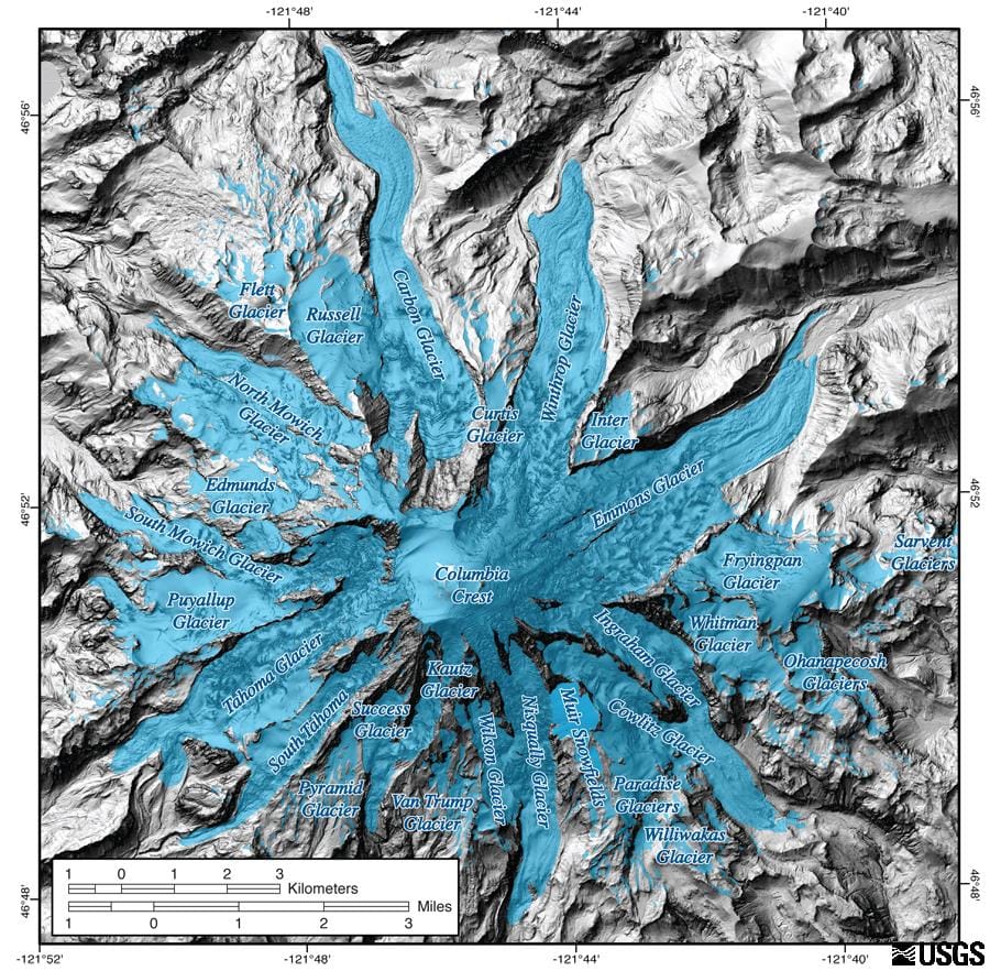
Mt. Rainier is encircled by 25 named glaciers with a combined surface area of more than 30 square miles, the largest glacial system on a single mountain in the United States outside of Alaska. Mt. Rainier's glaciers are important indicators of climatic change and essential sources of water, supporting six major river systems. The Emmons Glacier has the largest area (4.3 square miles) and the Carbon Glacier has the lowest terminus altitude (3,600 feet) of all glaciers in the contiguous 48 states.
A glacier is a mass of ice that is large enough and heavy enough to flow, like a very thick fluid. Glaciers form as snow accumulates high on the mountain, where temperatures are too cold even in the summer for all of the snow to melt before winter sets in again. This is called the accumulation zone, and is typically covered in snow year-round. Over the years, the accumulated snow packs down under its own weight, becoming denser and denser, until it becomes ice.

In many places, the slopes of the mountain are steep enough that these massive ice fields begin to flow downhill under the force of gravity at an average of up to 7 inches per day. The glacier is in constant motion as the ice in the accumulation zone flows down to lower altitudes into what is called the ablation zone. The ablation zone is the lower part of the glacier where more snow is lost than accumulates.
Glaciers slide across the ground at their base, tearing and grinding rocks out of the mountain as they move, and they twist and deform under their own weight. Avalanches and erosion deposit more rocks on the surface of the glacier, and eventually, the glacier becomes a thick, frozen mixture of ice and rock.

As the glacier flows down the mountainside it eventually reaches an elevation where temperatures are warm enough for it to melt. At this point, the glacier becomes a river and a source of drinking water, irrigation, and hydroelectric power for natural and human communities downstream. Meanwhile, snow continues to fall near the top of the mountain, replenishing the glacier. When the glacier melts, all of the rock embedded in it melts out of the ice and into the riverbed. The river gradually tumbles the rock downstream, carrying it toward the ocean. The river is constantly rearranging the rock and changing course around it, always seeking the easiest path through the debris. This is why glacial riverbeds are wide and rocky, with the river itself braided into constantly-changing channels and sub-channels somewhere down the middle. This on-going process of rocks left behind by glaciers accumulating in rivers is known as aggradation and can easily be seen as we drive across the Nisqually River Bridge on our way to Paradise.

Glaciers can vary widely in size and shape, but generally display the same framework. The blue outline in the image on the right marks the edges of the Emmons Glacier, located on the eastern slopes of Mt. Rainier and viewed from the Emmons Vista Overlooks at Sunrise. Letters pointed out on the photo mark out different glacier features.
.jpg)

Types of glaciers. Most of the glaciers on Mt. Rainier are known as valley glaciers.
(Graphic: www.glaciers.pdx.edu)
Valley Glaciers: Most of the glaciers on Mt. Rainier are known as valley glaciers. These glaciers are confined to a valley (usually a former stream valley). Three good examples of this type of glacier are the Nisqually, Carbon, and Emmons glaciers.
Cirque Glaciers: The smallest glaciers on Mt. Rainier are cirque glaciers. These small glaciers occupy a bowl-shaped basin at the head of a mountain valley. Cirque glaciers are usually the remnants of much larger valley glaciers. Examples of this type of glacier are the South Tahoma and Inter glaciers.
Continental Glacier: Another type of glacier, called a continental glacier, is a large ice sheet that covers thousands of square kilometers. Although there are no continental glaciers in the Mt. Rainier area today, 15,000 years ago much of the Puget Sound west of Mt. Rainier was covered with a continental glacier over 3,300 feet (1,000 meters) deep. Scientists and geologists believe that at least one of the current glaciers on Mt. Rainier may have been a tributary of this ice sheet.
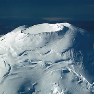
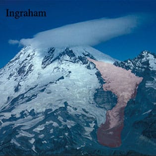
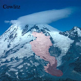
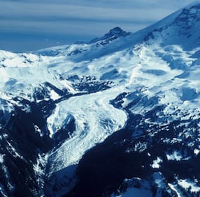
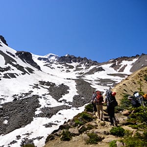
From Top Left to Bottom Right: 1. The Summit Crater Glacier is about 200 feet thick and sits atop a maze of snow caverns caused by steam vents. (Photo: NPS) 2. The Ingraham Glacier shares a common terminus with the Cowlitz Glacier, separated by Cathedral Rock. (Photo: NPS) 3. The Cowlitz Glacier is the first glacier to be crossed on the classic Disappointment Cleaver route. (Photo: NPS) 4. The Carbon Glacier has the lowest terminus of any glacier in the contiguous United States. (Photo: NPS) 5. The Inter Glacier is one of 2 cirque glaciers on Mt. Rainier and sits below Camp Schurman on the Emmons route. (Photo: Linden Mallory) 6. Nisqually Glacier is the most visited and best surveyed glacier on the mountain. (Photo: Linden Mallory)
Penitentes
Penitentes are pinnacles of snow that can be several meters tall. They appear on the upper mountain, typically during summer months. At high elevations during the summer the air remains cold and dry but there is an abundance of bright sunlight. The strong sun exposure causes snow crystals to transition directly into water vapor without melting first. This process is called sublimation. As the surface of the snow forms depressions, the curved shape reflects and concentrates the sunlight further, speeding up the process of sublimation and eventually forming a forest of snow spikes.

Sun Cups
Sun cups are shallow "cup" like hollows in the snow's surface that are also created through exposure to strong sunshine. While sun cups can be created through sublimation, they can also form due to melting. They are typically smaller than penitentes and can occur at lower elevations.
.jpg)
Bergschrund
A bergschrund is a large, often deep, crevasse that forms at the upper end of a glacier. Sometimes a bergschrund forms between a lower portion of active glacier and an upper portion that has stopped flowing and become stagnant ice or snow. Mt. Rainier also has bergschrunds where the glaciers break off from the summit and, depending on the route and conditions, can be seen up close on our summit climbs.

Serac
Seracs are large blocks or columns of glacial ice created when crevasses cross each other. The large pinnacles of ice can collapse unexpectedly, which combined with the broken surface terrain, makes seracs very dangerous for climbers. Seracs can be seen in various locations during your climb, particularly crossing the Ingraham Glacier when climbing the Disappointment Cleaver route.

More than 97 percent of Mt. Rainier National Park is legally designated as wilderness, which includes glaciers, forests, meadows, lakes, and other wetlands. In 1964, when Congress approved the Wilderness Act, climate change was not yet recognized as a major threat. Fifty years later, scientists around the world and at Mt. Rainier have identified impacts of climate change on wilderness and ultimately our life on earth.
Since 1913, glacial retreat has exposed an area of 14.5 square miles (37.5 square kilometers) of Mt. Rainier National Park lands. Field crews at Mt. Rainier closely study the affect of increasing average temperatures by placing ablation stakes on the lower Nisqually and lower Emmons glaciers. The ablation stakes are installed in the spring using a steam drill that allows crews to drill a hole in the snow and ice, up to 43 feet (13 meters) deep. The stakes are inserted at 6 locations on each glacier from the terminus at 5,300 feet (1,615 meters) up to approximately 11,000 feet (3,352 meters), and serve as a check for melt throughout the season. A quick review of historic data reveals, not surprisingly, that the melt in the first part of the summer of 2015 is greater than early season melt from any previous year dating back to 2003, when monitoring began. For the first time since monitoring began, field crews might have to re-drill ablation stakes in the bare ice of the lower Nisqually because stakes might melt out before the season is over.

The process of aggradation (the on-going process of rocks left behind by glaciers accumulating in rivers) also seems to be accelerating. One likely reason is that Mt. Rainier's glaciers are melting faster than they are reforming – a symptom of the trend toward warmer temperatures locally over the past century. Glaciers like the Nisqually, which loomed over the Park road less than a hundred years ago, have now melted almost out of sight around a bend in the canyon. As the glaciers melt, they release into the the riverbed the huge volumes of rock and debris formerly locked in the ice and begin to erode into the river. The volume of rock available for the rivers to carry increases and a major flood can cause several decades' worth of normal aggradation to occur overnight. The riverbed where the Tacoma Creek flows under the Nisqually Road rose more than four feet during the November 2006 flood, leaving the bottom of the road bridge just five feet above the river.

Glaciers found in Mt. Rainier's wilderness provide storage and the slow release of cool waters during summer. Changes in temperature affect the timing of this release, resulting in warmer summer streams which then affects certain species and organisms that depend on cold headwater streams to survive.
Glaciers are receding and this is unambiguous evidence of global warming, and reflects a pattern observed in mountain ranges around the world. Loss of this resource and the late summer water it provides is already affecting lakes, streams, municipalities and hydroelectric projects. Continued loss of glaciers will complicate efforts to protect threatened and endangered species throughout the mountain ecosystems.
Whatever the cause, the implications are clear: as Mt. Rainier's rivers continue to aggrade, it will become harder and harder to keep them from flooding adjacent roads and facilities. The Park will rely more and more on larger and stronger dikes, levees, engineered log jams, and other flood control structures to separate the rivers from the roads. In the long term, Park managers will have to consider how much effort is warranted to protect vulnerable facilities. Some roads may be closed permanently, or only repaired well enough to be passable until the next flood. Some structures may be relocated to places less prone to flooding, or perhaps removed from the Park entirely.
These management questions have become critical at places like the former Sunshine Point Campground, Westside Road, and the Carbon River Road. Planning efforts will carefully consider the likelihood that these places will flood again, maybe in the near future. This may pose significant changes in how we access and develop certain areas of the Park, and may require the repurposing of roads and other facilities into infrastructure more appropriate for the floodplains on which they're built. In the long term, Park managers will have to find ways of living alongside the powerful forces of nature that continue to reshape this landscape.
References:
www.nps.gov/mora/learn/nature/climatechange
www.nps.gov/mora/learn/nature/aggradation
www.nps.gov/mora/learn/nature/glaciers
www.glaciers.pdx.edu
www.nps.gov/mora/learn/nature
www.nps.gov/mora/learn/nature/mount-rainier-glaciers
Article References:
www.nps.gov/mora
www.nps.gov/subjects/centennial
In the course of the National Park's long history since 1899 another significant resource has developed: the cultural heritage of the National Park itself. Today the Park contains four historic districts and more than one hundred historic buildings of national significance, virtually all associated with the first half-century of administration and development of the Park. With its carefully planned roads, campgrounds, and administrative areas, the built environment of Mt. Rainier National Park exhibits perhaps as well as that of any other national park the philosophy of the U.S. National Park Service during its formative years.
Native Americans & Mt. Rainier

The Indians of the Pacific Northwest held in awe the snowcapped volcanoes of the Cascade Range. Mt. Rainier, Mt. Adams, Mt. St. Helens, and Mt. Hood, with their looming presence on the horizon, frequent cloud caps, rumbling avalanches, and terrifying eruptions, inspired numerous legends about the spirits that were thought to inhabit them. The Indians' legends told of fiery eruptions in the distant past, of vicious feuds when the mountains hurled rocks at one another, of a great flood when all the lowlands were inundated, killing all creatures except the pure ones which climbed to the mountain tops and ascended ropes of arrows into the sky. In the Indians' view, humans offended the mountain spirits at their peril.
The story of Sluiskin, Mt. Rainier's most famous Native American Indian, reveals much about the complexity of the Indian relationship to Mt. Rainier. In 1870, Sluiskin, served as guide to General Hazard Stevens, Philemon Beecher Van Trump and Edmund Coleman who were intent on climbing Mt. Rainier. As the climbing party approached the lower slopes of the mountain, Sluiskin grew more and more despondent. Finally, on the eve of the ascent, he exhorted the white men not to attempt the climb or they would be punished by demons. He told his white companions of the angry spirit that animated "Takhoma" and inhabited a "lake of fire" in the summit crater. He refused to go farther. The white men, undaunted, successfully reached the summit the next day where they took shelter in the warm steam vents that Sluiskin had apparently alluded to, and returned to camp on the day following. Sluiskin, who had given them up for dead, greeted them with cries of "Skookum tillicum! Skookum tumtum!" ("Strong men! Brave hearts!"). Many years later, in 1915, Sluiskin's identity became wreathed in mystery and developed a significance by becoming a symbol for both Indians and whites of the Indian relationship to the mountain.
Mt. Rainier National Park, like other national parks, commemorated Indians' past use of the area through Indian place names. White Americans' fondness for Indian names has been described as a form of nationalism, for it celebrated what was distinctively American. Americans were nowhere more enthusiastic about Indian place names than in national parks, with their aim to preserve the American heritage. In Mt. Rainier National Park many glaciers, rivers, parks, and waterfalls took their names from Indian individuals and groups associated with the area, or from the old trading language known as Chinook jargon. The names Nisqually, Cowlitz, Yakama, and Puyallup came from tribes in the region; Sluiskin from the famous guide; Owyhigh from a Yakama chief; Mowich from the Chinook jargon term for deer; Ollala from the term for berries; Mazama from the term for mountain goat.
It is very difficult today to separate legends and other facets of the Indians' relationship to Mt. Rainier from the history of the area as a national park. Indian legends about the mountain held strong appeal for whites who sought to preserve and promote the mountain's scenic grandeur. Many white people who themselves felt a kind of reverence for Mt. Rainier worked diligently to preserve Indian legends and place names in order to give Mt. Rainier National Park a local accent.
Folklore about Indians and Mt. Rainier was not the only way in which the Park celebrated the past through Indians. In 1925, Yakama Indians agreed to perform for tourists at Paradise Park, on the south flank of Mt. Rainier. They held daily drum dances, rode horses, and demonstrated their spear fishing. Their leader was none other than Chief Sluiskin. At the same time that these Indians were performing some of their people's traditional uses of the Park for the amusement of hotel guests at Paradise, other Indians were continuing to visit Mt. Rainier to gather huckleberries which they dried for food.

Next to their feeling of awe about the mountain, Indians were most often remembered for the seasonal use they made of the area for hunting and gathering. Early settlers of Washington Territory told a story about Henry, a Yakama Indian and son of a chief. He was banished from his tribe for killing a medicine man, and forced to flee to the west side of the Cascades. Each spring, the story went, Henry vanished into the mountains. He was nearly given up for dead, only to reappear in the fall, grinning to himself, with his wives looking plump and content and his ponies laden with venison and dried berries. Asked by whites to reveal where his hunting ground was, Henry always shook his head, and the reputation of his secret hunting ground grew each year. Finally, a man succeeded in trailing the old Indian to his summer camp on the southwest side of Mt. Rainier, a place that became known as Indian Henry's Hunting Ground. Within a few years a permanent trail was built to this flower-strewn meadow and it became one of the popular backcountry destinations in the Park. That Henry was a real person, whose Indian name was So-to-lick, mattered less than the fact that his story captured the imagination of so many local residents. The story was another example of how Indian use of Mt. Rainier became intertwined with local mythology about the mountain.
The relationship of Indians to Mt. Rainier is a complex one. Inasmuch as the national park is a celebration of the American heritage, it has made Indians like Sluiskin and Henry into symbols. Although Indian use of the area predated the establishment of the Park, the Park reshaped the Indians' relationship to Mt. Rainier by profoundly influencing the way the Indian past was reconstructed. Indian legends concerning Mt. Rainier and anecdotes concerning Indian use of the area were distorted at the same time that they were amplified by the existence of the Park. Furthermore, Indian use of the Park was altered at the same time that past Indian use of the area was romanticized. Indian use of the area continued for several years after it became a national park, but hunting and gathering clashed with local citizens' views about how the Park should be used which ultimately clashed with the implementation of federal land management responsibilities.

American Settlement
National park managers have long understood that land uses outside parks, indeed long distances from parks, can produce environmental changes inside park boundaries. Major land uses such as logging, the construction of the transcontinental railroads, and urbanization have shaped the political environment of Washington state and, therefore, have had a ripple effect on the cultural landscape of the Park and how it was administered. The timber industry became the leading sector in the regional economy as early as the 1850's and remained so well into the twentieth century. Transcontinental railroads exerted enormous influence on the area's development in the 1880's and beyond, and created the necessary conditions for the rise of Seattle and Tacoma in the last twenty years of the nineteenth century. These growing cities played a significant role in reshaping people's attitudes about the wilderness and the way they used it. The legislation which established the park was in some ways precedent-setting. Mt. Rainier was the first national park to be created from lands that were already set aside as forest reserves, forming a precedent for numerous national parks established in the twentieth century.
Timber
Early visitors to western Washington found that its wet climate had produced a lush growth of Douglas fir, hemlock, spruce, and cedar, from the slopes of the Cascades to the very edge of Puget Sound. Early lumbermen recognized the region's economic potential as soon as the California gold rush created a market for lumber on the west coast. The first major change in Washington's timber industry occurred with the completion of the transcontinental Northern Pacific Railroad in 1883. The railroad stimulated settlement, created local markets for lumber, and linked the Pacific Northwest to markets back east.
Efficiency was also the watchword of the new conservation movement. Led by Gifford Pinchot, forestry "professionals" sought to manage forests as though they were crops, harvesting trees when they were "ripe," protecting stands against fire and disease, guarding against deforestation and soil erosion. Government forestry initially focused on research and conceived of its role as an advisory one; after the turn of the century, however, the Forestry Bureau (later the U.S. Forest Service) began to concern itself primarily with the management of forest reserves (national forests). In Washington, as elsewhere in the West, leaders in the timber industry generally supported conservation as part of their drive to resolve problems of over competition and supply. The groundswell of suspicion by westerners toward federal control of resources reached a peak during the administration of President Theodore Roosevelt, in the first decade after Mt. Rainier National Park was established.
All of the land included in the Park today was previously set aside as forest reserve or national forest land. The Pacific Forest Reserve, proclaimed on February 20, 1893, formed roughly a square thirty-five miles on a side, with the summit of Mt. Rainier on its western edge. A subsequent presidential proclamation on February 22, 1897 changed the name of the reserve to the Mt. Rainier Forest Reserve and greatly enlarged its boundaries to the west and south. By the time Mt. Rainier National Park was established in 1899, the timber industry was already shaping western Washington's cultural landscape in ways that reached far beyond the extent of actual logging operations. Forest lands throughout the Cascade Mountains were being surveyed, purchased, taxed, protected from fire, and placed in reserves for future logging operations and for watershed protection. These myriad forest activities created a political and economic climate which continued to affect land use around and even inside the Park after it was established.
Railroads
Railroads shaped the cultural setting of Mt. Rainier in a very different way than the timber industry. Their primary significance was in binding the Pacific Northwest more closely to the national economy. They not only brought a flood of new settlers to Washington and carried Washington's products to eastern markets, but their advent encouraged an influx of investment capital into the Pacific Northwest as well. They even had the ability, through their popular advertising posters and brochures, to mold public attitudes toward the national parks. Finally, branch lines affected land use and settlement patterns in the vicinity of Mt. Rainier.
Both the Northern Pacific and the Milwaukee Road took an interest in developing branch lines to tap the timber and mineral resources in the upper Nisqually and Cowlitz valleys. In 1902, the so-called Tacoma and Eastern reached the new town of Eatonville, and two years later reached as far as Ashford, seven miles from the new National Park boundary. These railroads were built primarily to exploit the timber and coal resources in the Cascade foothills rather than to profit from passenger traffic to Mt. Rainier. However, the railroads were always looking for additional sources of income for their lines and they were certainly not blind to the possibility of developing a lucrative tourist business. More importantly, however, the relationship between the railroads and this National Park was tempered by the proximity of Seattle and Tacoma. These two cities would prove to be the real driving forces of Mt. Rainier National Park's development, providing local initiative for road and hotel construction and a concentrated population of park users with an effective political voice.
Cities
The growth of a major metropolitan area on Puget Sound became the most important feature of Mt. Rainier National Park's cultural setting. The cities of Seattle and Tacoma provided much of the stimulus for the establishment of Mt. Rainier National Park and much of the capital for its development. The cities' chambers of commerce boosted the National Park and involved themselves deeply in its administration, both through the state's senators and congressmen and through their self-appointed Rainier National Park Advisory Board. Residents of Seattle and Tacoma accounted for a large proportion of the Park's visitors, many of whom found a voice for influencing park administration through outing clubs like The Mountaineers. The proximity of Mt. Rainier National Park to the two cities made the park increasingly oriented to weekend and day use by automobilists. Arguably, the relationship of this park to its nearest cities was more pronounced than that of any other national park in the United States.

Even before the establishment of Mt. Rainier National Park, citizens of Seattle and Tacoma laid claim to the mountain as a symbol of the good life in the Pacific Northwest. The beauty of Puget Sound's forests, lakes, tidewater, and mountains was a source of civic pride, and the image of Mt. Rainier looming on the horizon beyond Seattle's Lake Washington or Tacoma's Commencement Bay was the most commonly used symbol of that pride. While the 1890's and 1900's marked the heyday of Seattle's identification with Mt. Rainier, Tacomans had been trying to lay claim to the mountain's symbolism for much longer. Indeed, their city took the name Tacoma from the Indian word for "snow peak," which it was said the Indians applied specifically to Mt. Rainier, and much of the boosters' efforts to identify their city with Mt. Rainier focused on getting the name of the mountain officially changed to Mt. Tacoma. The effort dated from as early as 1873, though it reached fever pitch on three subsequent occasions: in 1890 and 1917, when it was twice brought before the United States Geographic Board, and in 1925, when it briefly claimed the attention of Congress. The desire of Tacomans to capitalize on this name association was, of course, the real basis for the feud over the mountain's name, even though the debate focused mainly on the authenticity of the Indian name "Tacoma" and the allegedly unpatriotic and prosaic flavor of the official name "Rainier."
The residents of Seattle and Tacoma came to view a trip to the mountain as a favorite destination for country outings, and a climb to its summit as the supreme physical challenge in the region. As late as the 1880's, a trip to the mountain was still almost an expeditionary event, but in the last decade of the nineteenth century it evolved fairly rapidly into a more commonplace activity. This was due to the fact that by the early twentieth century, the new National Park was already experiencing the kind of visitor use pattern that would become more and more pronounced as time went on: the weekend day-trippers had arrived.

Closely akin to the mountain climbing expeditions in this era were the horseback riding, fishing, and camping parties who visited Mt. Rainier. As early as the 1880's, the Northern Pacific Railroad found that sufficient demand existed to run excursion cars from Tacoma to Wilkeson, where tourists hired horses and guides for trips into the Carbon River high country. Yelm mountain guide and pioneer James Longmire, seeing the future in tourism, found an attractive site by a mineral springs on which to develop his own hotel and spa. In 1884, with the help of some Indians, Longmire cleared a wagon road from Succotash Valley (Ashford) thirteen miles to the springs (Longmire), where he built a rough cabin. By 1889, the Longmire family had two bathhouses and some guest cabins completed and were advertising their health spa in the Tacoma newspapers, and by next season they were operating a rustic two-story hotel. The idea that Mt. Rainier's scenic grandeur was a commodity which could be packaged and sold came to be shared by many people in Tacoma and Seattle in the course of the next century. It would form an important part of the National Park's cultural setting.
After passing the Mt. Rainier Park Act, Congress showed little enthusiasm for appropriating funds with which to administer the new national park. Not until 1903 was the park placed under the nominal supervision of Mt. Rainier Forest Reserve Supervisor Grenville F. Allen, and not until 1910 did the park have its own superintendent. Yet in spite of these limitations, park officials established the rudiments of administration during the first decade and a half of the park's existence. They built up a ranger force, cleared trails, constructed administrative buildings, and strung telephone lines. With the help of the state legislature and Congress, they resolved all doubts about their authority to enforce regulations within the jurisdiction of the park. They helped coordinate the efforts of the General Land Office, the Geological Survey, and the Forest Service on a variety of land issues. These included the disposition of the Northern Pacific's land grant inside the park, the marking of boundaries, the completion of Mt. Rainier's first topographical survey, and the maintenance of the park access road where it crossed a three-mile strip of national forest land.
References:
www.npshistory.com/publications
www.nps.gov/parkhistory
visitrainier.com
Article References:
www.nps.gov/mora
www.nps.gov/subjects/centennial
"There are plenty of higher mountains, but it is the decided isolation—the absolute standing alone in full majesty of its own mightiness—that forms the attraction of Rainier." – Adventure Writer Paul Fountain (1905)
Mountaineering has played a significant role in the shaping of the cultural landscapes of Mt. Rainier National Park. Early climbing expeditions fostered local interest in the mountain and even contributed to the national park movement on a larger scale. Seattle and Tacoma newspapers followed climbers' exploits with avid interest and the return of a mountain climbing party was cause for much excitement. Many of the pioneer climbers subsequently played important roles in the campaign to establish the Park beginning in the 1890s by publicizing their climbs through writings, lectures, and lantern slide presentations. In 1905, the Sierra Club (based in San Francisco) and the Mazamas (based in Portland) organized large expeditions to Mt. Rainier. At that time these were the only two well-organized mountain clubs in the western United States.
Seattle and Tacoma mountain enthusiasts made several attempts to form their own mountain club, and finally succeeded with the founding of The Mountaineers Club in 1906 which was actually an offspring of the Washington Alpine Club originally formed in 1891. The formation and affiliation of these clubs contributed to the building interest in Mt. Rainier National Park through a shared purpose: to promote outdoor recreation and nature preservation.
Each year around ten thousand climbers attempt to summit Mt. Rainier. Mt. Rainier is the gateway into the world of mountaineering and has served as the training grounds for generations of mountaineers that have gone on to successful climbing careers in some of the most challenging mountainous regions around the world. It's sheer size, terrain and unpredictable weather give climbers the experience akin to many of the world's highest ranges, and it is where Jim Whittaker and the first U.S. team to summit Mt. Everest in May 1963 came to train.


Camp Muir, originally know as Cloud Camp, is located on a narrow east-west ridge at 10,080 feet on the Gibraltar route (and today the popular Disappointment Cleaver route) and was long believed to be the most direct route to the summit. It was the route that John Muir, founder of the Sierra Club, followed in his 1888 climb to the summit with Seattle mountaineer Edward S. Ingraham. The site is bound on the north and south sides by the Cowlitz Glacier and the Muir Snowfield respectively.
As mountaineering on Mt. Rainier grew in popularity, a climbing fatality in 1897 prompted calls for the construction of a high-elevation shelter for climbing parties. A decade later the U.S. Army Corps of Engineers recommended the construction of a shelter at Camp Muir that was approved in 1911 and funded through private donations, but did not see completion until after John Muir's death in 1914. The shelter was constructed in 1916 at a cost of $573.00.
Soon after, more structures were built to accommodate the increased amount of climbers as a result of the dramatic growth in the popularity of climbing. Today, Camp Muir is designated as a National Historic Landmark and is predominantly used by the public (overnight and day visitors), NPS staff, and guide services as a base camp for summit climbs.
There are four primary structures at Camp Muir that are currently in use today. Descriptions of their history and use are below.
Historic Guide Shelter (1916)

The historic Guide Shelter, originally known as the Climber's Shelter, was designed by Seattle Architect, Carl F. Gould (a member of The Mountaineers). The structure blended in naturally, almost to the point of being camouflaged with the surrounding ridge since it was made up of stone found on the ridge. Currently, the exterior rock walls are mortared, but historical photographs indicate that the walls originally were dry-stacked. The one-room interior contains sleeping quarters and a small kitchen. The shelter was repaired in 1966 as a result of structural deterioration, then in 1969 it was converted for use as a kitchen and quarters for guide service staff. Despite a relatively unsophisticated building effort, the Guide Shelter has stood for more than eighty years in a severe environment relatively intact. This structure is currently used by NPS climbing rangers.
Historic Public Climber's Shelter (1921)

In 1921, the National Park Service built a second, larger structure at Camp Muir that became the Public Climber's shelter and was designed by Superintendent Peters and also blended in with the surrounding environment. It was about twice the size of the first structure, and was similarly a stone masonry one-room structure that now contains wood bunk platforms providing space for overnight campers. At the time of construction, the original building was dedicated for mountaineering guides while this one served the public. It was remodeled in 1968 to accommodate increased climber use of the facilities and received a dedication plaque to John Muir fixed to the structure.
Historic Men's Comfort Station (1935 - 1936)
This is the smallest of the historic structures at Camp Muir and is perched on the north edge of the Muir saddle above the Cowlitz Glacier. It was constructed by the Civilian Conservation Corps (CCC) between 1935 and 1936, and originally intended to function as a men's comfort station with pit toilets until new toilets were added to the site in 1973. It was then converted to storage space.
Butler Shelter (1969)
This A-frame shelter sits higher on the ridge than the other structures and was originally constructed for NPS mountaineering rangers. The design of this small shelter was intended to handle unrelenting snow loads, high winds, and many seasons of use. Today, this structure is currently used by RMI guide staff while the NPS climbing rangers now use the original Guide Shelter.
Gombu Shelter
Although not considered a historic structure, the Gombu shelter has stood on the ridge since 1970 and was originally constructed by RMI as a shelter for climbing teams.
.jpg)

Only one road went all the way to the new National Park. The so-called Mountain Road was built by James Longmire and a crew of Indian laborers in 1893, and went from Kernahan's Ranch (Ashford) to Longmire Springs. At first, use of the road was restricted to wagons whose axles could clear the dozens of stumps that still needed to be rooted out from between the parallel wheel ruts, but by 1896 the road was open to stages. Beginning in that year, the Tacoma Carriage and Baggage Transfer Company took tourists to Mt. Rainier via an overnight stop in Eatonville.
During the first four to five years after the Park's creation, upwards of 500 people visited the mountain each summer season following the completion of the Tacoma and Eastern Railroad to Ashford, and the simultaneous inauguration of a connecting stage service over the remaining thirteen miles to Longmire Springs. While some visitors were content to remain at the Longmire Springs resort and enjoy the mineral baths and the view of Mt. Rainier from there, most wanted to get a closer view of the glaciers and experience the mountain's famous alpine meadows.

The people of Washington state generally agreed that the first need of Mt. Rainier National Park was to get an adequate road built, presumably to Paradise Park. In August 1900, Washington's Representative Francis W. Cushman requested the U.S. Geological Survey to make a preliminary survey and cost estimate. The USGS report suggested that a road from the southwest corner of the Park to Paradise Park could be built for $90,000. In January 1901, Cushman forwarded this report to the Secretary of the Interior with the suggestion that the department request an appropriation in the next sundry civil appropriation bill. This was the first appropriation made for Mt. Rainier National Park and the road to Paradise would be the only one undertaken by the War Department.
The War Department's legacy was enhanced by the dedicated service of Eugene Ricksecker, the assistant engineer who designed and supervised construction of the road and maintained a lively interest in all phases of the Park's development until his death in 1911. In the spring of 1903, Ricksecker settled on the Nisqually River Valley as the best alternative because it was the most popular among tourists owing to the fact that a road and trail already existed to Longmire Springs and Paradise Park, and it was the approach used most often by climbers since it led to the easiest route of ascent of the mountain's summit.
Ricksecker emphasized that the road would be designed "solely as a pleasure road." A pleasure road was a rare specimen of engineering in that era, made all the more unusual by the mountain topography. The road would not only give access to the highcountry, but would harmonize with the landscape and itself give pleasure to the traveler. What stamped this as a scenic road above all was the gentle gradient, which added considerably to the road's length. It was constructed with about a 4% gradient as this was determined to be the steepest up which horse teams can trot and because grades steeper than 5% cannot be ascended with reasonable effort by cyclists.

In 1907, the road was completed from the Nisqually Entrance to Longmire Springs, and for the first time ever automobiles were admitted into the Park. In 1908, the road was opened to Nisqually Glacier—the first road in the United States, it was said, to reach a glacier. In 1909, it was completed to within a few miles of Paradise Park, and in 1910 the last difficult stretch above Narada Falls was constructed. In 1910, nearly twice as many people came to Mt. Rainier by car as by train and stage.
Automobilists held the advantage over train passengers in numbers even as the outbreak of war in Europe brought a huge increase of out-of-state tourists to Mt. Rainier in 1915. A car reached Paradise Park under its own power in 1912, but the road was so narrow above Narada Falls that it was not opened to cars generally until 1915. Ricksecker spent nearly seven years supervising the construction of this impressive road—one of the earliest scenic mountain roads in the national park system.
References:
www.npshistory.com/publications
Article References:
www.nps.gov/mora
www.nps.gov/subjects/centennial
"Sustainability does not require a loss in the quality of life, but does require a change in mind-set, a change in values toward less consumptive lifestyles. These changes must embrace global interdependence, environmental stewardship, social responsibility, and economic viability." — National Park Service: Guiding Principles of Sustainable Design
Responding to climate change is the greatest challenge facing the National Park Service today. Our national parks contain the most treasured landscapes and important historical sites in this country. National parks have always helped us better understand the workings of our planet, the lessons of history, and our relationship to the world around us. Even under the threat of climate change, these natural and cultural resources can teach us how our planet is changing and show us a way to continue to preserve them for future generations.
As evidence of human contribution toward climate change increases, Mt. Rainier National Park is making a serious commitment toward reducing greenhouse gas emissions and promoting sustainable practices that help preserve the earth's natural resources so they are passed on to future generations in a healthy and abundant manner. While climate change is a global problem, every individual has a role to play in finding a solution, from reducing your carbon footprint at home to contributing to citizen science efforts.
We all share the responsibilities of caring for our environment and conserving natural resources. As visitors and climbers to the Park, there are several ways we can contribute to sustainable practices before, during and after your visit to Mt. Rainier National Park. All RMI guides practice and teach Leave No Trace principles which will be reviewed at your Orientation. Leave No Trace was developed to teach people of all ages how to enjoy the outdoors responsibly and ethically to help ensure long-term health of our natural world and public lands. We encourage you to embrace the Leave No Trace principles and act as an example for other visitors to the Park.
In preparation for your climb, please consider some of the following tips to help make your visit to Mt. Rainier National Park a green one!
It can be harder to be green when you're traveling. But with a little advance planning there are several simple steps you can take to shrink your carbon footprint on the road as well as at home.
Staff at Mt. Rainier National Park are also involved in implementing sustainable practices. The program encompasses energy efficiency, green purchasing, recycling, and environmental design. Mt. Rainier National Park's involvement in the Climate Friendly Parks program has helped reduce greenhouse gas emissions from Park operations by approximately 30% from 2006 to 2014!
Here are a few examples of environment-friendly projects and practices at Mt. Rainier:
References:
www.nps.gov/mora/getinvolved
Article References:
www.nps.gov/mora
www.nps.gov/subjects/centennial
In mountaineering, decisions don’t just shape the route; they shape lives.
Every climber, whether it’s their first trip up Mt. Rainier or their six hundredth faces moments where instinct, knowledge, and heart collide. Sometimes those choices lead to the summit. Other times, they lead us back to the trailhead. And the consequence of misreading the situation, however small that mistake, can result in the mountain exerting its will.
That truth sits at the core of this craft. Mountaineering is as much a mental game as it is a physical one. Sure, we train our legs to carry us uphill, but it’s our decisions that give us the opportunity to return home safely.
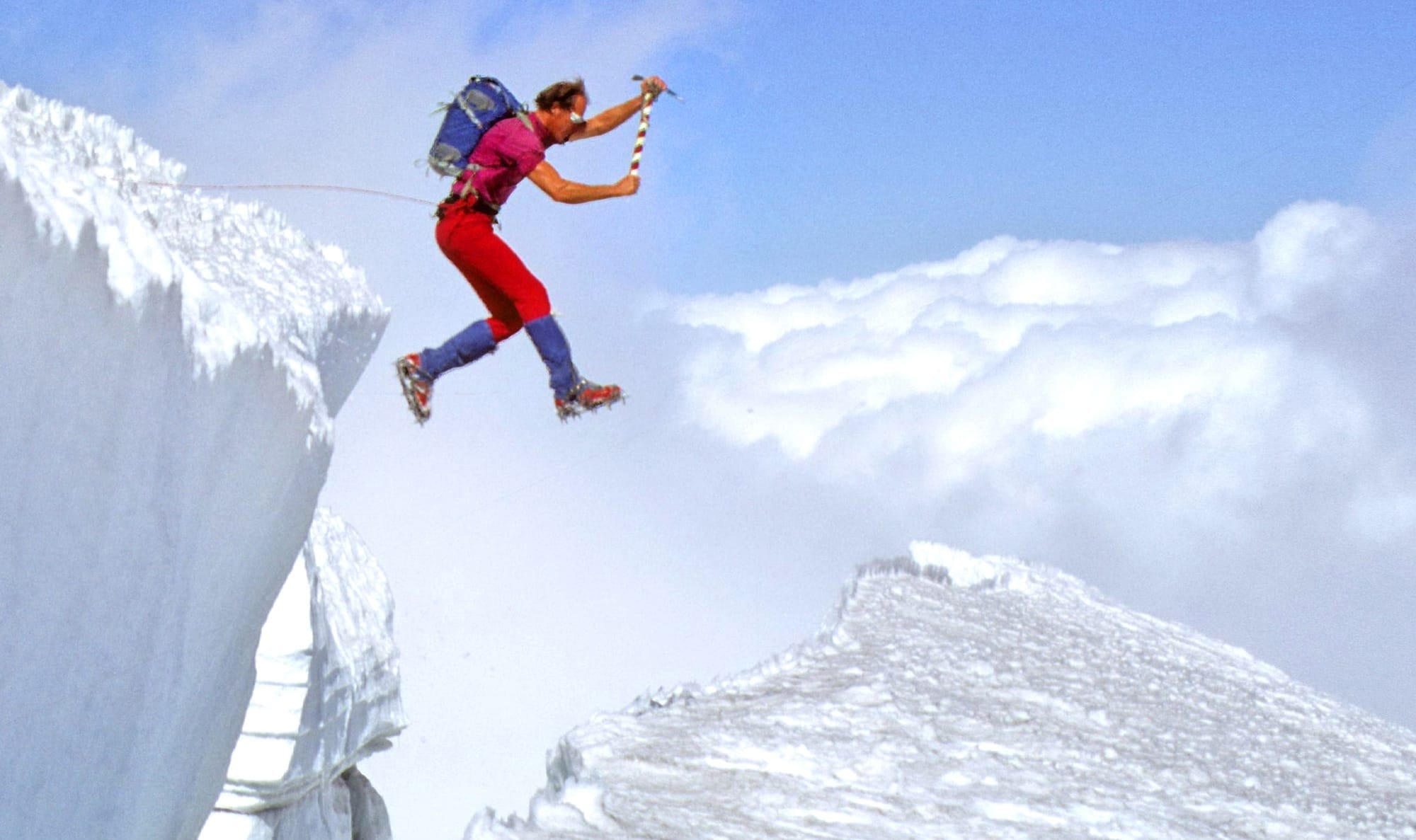
Lou Whittaker, RMI’s founder and one of America’s pioneering mountain guides, never romanticized risk. Reflecting on a tragedy on Mt. Rainier in 1981, he wrote:
“What really ticks me off is people who say, after accidents like this, ‘at least he or she died doing something they loved.’ No way! You don’t want to die in the mountains. You want to live so you can enjoy the mountains another day.”
That sentiment can be uncomfortable, but it’s honest. In the climbing world, we sometimes soften loss with poetic language. Yet behind every tragedy is a person who wanted to live, teammates who fought to save them, and families forever changed.
Even the most seasoned climbers make decisions that, in hindsight, could have gone differently. But hindsight isn’t a fair judge of what it means to move through complex terrain, under stress, in shifting conditions. The hard truth is that sometimes tragedy happens despite our best judgment.
In many incidents, we can trace the beginning back to one small decision that drifted just slightly off course. Even the best decisions can be tested by the mountains, as RMI Guide Pete Van Deventer explains: “After a few bad days of weather at Camp Muir on a longer Rainier program, the weather broke, and we had a forecasted hole of good weather to climb. As we stood on top, blue skies went to zero visibility almost instantly as the next system hit earlier and with more power than any forecast had called for. On the way down, we felt the pressure to get lower as quickly as possible and allowed our teams to get separated by just a minute. That short window was the start of a long recovery for me, resulting in severe frostbite on both hands.”
Stories like Van Deventer’s are reminders that even strong decisions can be overwhelmed by unexpected conditions and highlight the importance of recognizing the unique responsibilities guides carry. Hindsight often tries to simplify these moments into clean narratives, but anyone who has moved through steep terrain in rapidly changing weather knows that real decision-making is rarely that tidy.
Decision-making in the mountains is not about eliminating risk. It is about managing it with honesty, intelligence, and compassion for yourself and your team. Even with deep experience, humility remains one of the most important skills a climber can carry.
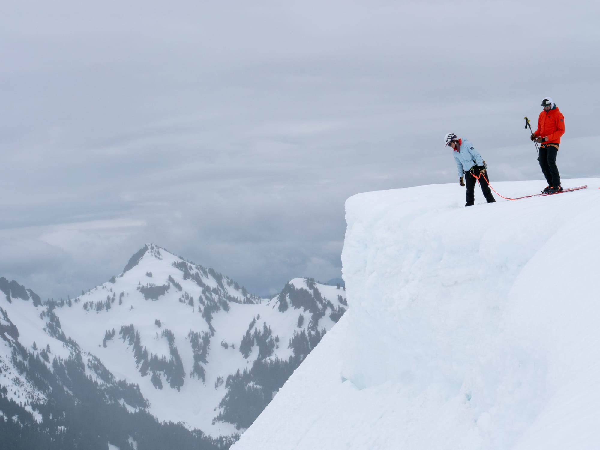
The alpine is a wicked learning environment where the data is messy, the rules are inconsistent, and the feedback is often unreliable, delayed, or misleading. Adding to that, RMI Guide Seth Burns reminded us that “greater uncertainty requires greater margin. As uncertainty increases, one should increase their margin with regard to the understood risks.”
It is tempting to believe there is always a “correct” choice if we just gather enough experience, but the mountains do not work that way. The reality is more nuanced. Mountains are dynamic. Weather shifts. Snow behaves differently than expected. People tire faster than they planned. The terrain keeps us honest; variables are never fully in our control.
Good decision-making isn’t about perfection; it’s about adaptability — evaluating and reevaluating, checking ego at the door, and staying honest with yourself and your partners. If that sounds like it could apply to more than just mountaineering, you’re absolutely right. Turns out the same mindset that keeps you safe on a glacier also works wonders when your car breaks down.
After talking about how unpredictable the mountains can be, Van Deventer reflected on what that means for guides making decisions in the field. “As guides, we are often thought of as examples, imparting a mindset on our climbers, especially during attempts with challenging conditions. There are times we lead climbs in weather that we would never depart in as individual climbers. Some of that is to deliver on as much of the experience as we can for climbers who have put so much into coming.”
“We also know that we have resources - a hut, propane and water, emergency supplies, and the combined experience of navigating that terrain - to stay within our margin of risk. But those are significantly more resources than most independent teams have, or we would have if we were climbing on our own, and we have to recognize that discrepancy. In reality, there are days that we start a climb, that if we were on our own, we would roll over and go back to sleep, or change plans and head to a coffee shop.”
When we learn about risk, we’re not learning to avoid danger. We’re building the judgment to recognize when it is time to pivot, pause, or call it. That’s the true mark of a mountain professional.
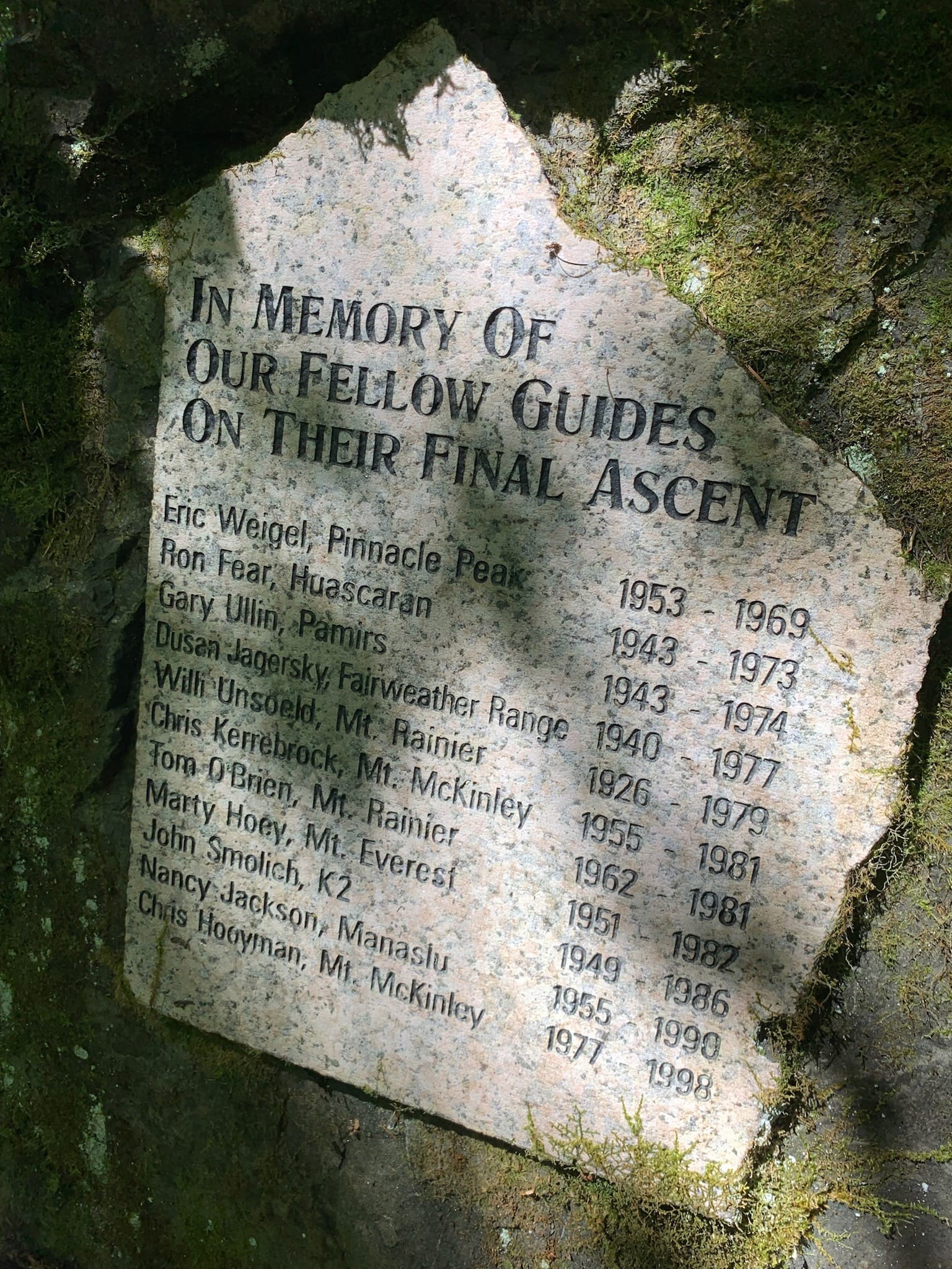
Every generation of climbers learns from the ones before. The decisions, mistakes, and experiences of those who came before us shape the way we approach risk today. That includes friends, colleagues, and guides who have lost their lives in the mountains, not because they sought danger, but because they accepted the fragility that comes with living fully.
Close calls are inevitable, and they quietly shape how climbers move, plan, and trust their judgment on future climbs. One of the keys is to treat close calls as accidents that did not happen, rather than moments we simply got away with. In the guiding world, we call these near misses, and they can teach us as much, or more, than a full accident if we are willing to pay attention. Burns put it simply: “I have learned to reframe how I think about near misses that I am involved in. While often frustrated at myself for the decisions that led up to a near miss, I am also grateful for the invaluable learning opportunity.”
It is sobering. There is a clarity in those moments when we realize how easily things could have shifted and how thin the margin can be. Yet that clarity is also a gift. We honor the people who came before us not by avoiding the mountains, but by climbing smarter, asking better questions, staying curious, and carrying their lessons with respect.
Up high, decisions aren’t made by the loudest voice but by the most honest one. At altitude, your focus narrows, the air is thin, and the smallest details, like a shift in the wind or the crunch of snow under your boots, suddenly matter a lot.
It’s part art, part science. You can’t rely on instinct alone, but you also can’t make every call by the book. That’s why the best guides balance both, using hard-earned judgment to keep teams safe and motivated.
A great climb isn’t measured solely by the summit — which wisdom will remind you will still be there tomorrow — it’s measured by returning safely with knowledge gained. The mountains don’t bend to our plans; we adapt to theirs, and the best climbers learn to listen. Listening to the weather, the snow, your gut, and your teammates. Not out of fear, but respect. Sometimes it means pushing on. Sometimes it means turning back. Either way, it’s an act of courage.
It’s that philosophy that should underpin every choice on the mountain because courage in mountaineering isn’t about defying nature. It’s partnering with it.
When we choose wisely, we give ourselves the best chance to do what Lou Whittaker always wanted for his climbers: to live long enough to enjoy the mountains another day.
Speed records on Mount Rainier have always belonged to the people who know her best. Since Lou and Jim Whittaker, along with John Day, made the first documented speed ascent in 1959 -- summit to parking lot in 7 hours and 20 minutes -- the record has almost always been set by guides, climbers, and athletes for whom Rainier isn't just a destination, but a home mountain. On May 9th, 2026, RMI guide Simon Kearns added his name to that lineage in a big way, running from the Paradise parking lot to the summit and back in 3 hours, 43 minutes, and 52 seconds -- the fastest unsupported on-foot round trip in the mountain's recorded history, shattering the previous mark by more than 30 minutes.
For Simon, it was a long time coming. Follow along on his Instagram -- he shared his own account of the record here.
"I have wanted to break the Rainier FKT since I got into trail running 13 years ago," he said. "It always seemed like the biggest, coolest peak in the US I could run up and down."
A Record With Deep Roots
The modern era of Rainier speed records began to take shape in the mid-2000s, when Chad Kellogg became the first person to make the round trip in under five hours. What followed was a gradual, hard-fought compression of the clock over the next two decades: Willie Benegas, then Uli Steidl (4:24:30 in 2016), then Alex King, who set the unsupported on-foot record in June 2021 with a time of 4:14:13.
King's run was a serious effort -- he navigated mostly snow-covered terrain, dealt with soft conditions at the bottom, and held remarkable pacing discipline all the way to the crater rim. His record stood for five years, and Simon had his eye on it for most of them.
"I got serious about going for the FKT two years ago and had two attempts over the last few years where I didn't get the record," Simon said. The near-misses stung – including one Rainier attempt in the summer of 2024 that ended in heartbreak just short of the mark. But rather than walk away, they sharpened his focus.
Training for One Mountain
This past winter, Simon overhauled his preparation in a way he hadn't since high school. He hired a coach for the first time and significantly increased both his volume and the intensity of his structured work.
"My training was primarily on skis this winter," he said. "I averaged around 25,000 feet of climbing every week and did one threshold session -- usually something like 4x15 minutes very hard -- and one long endurance effort, usually 4-5 hours at a fairly hard effort."
The plan was actually to go after the ski record first. When his race ski snapped and a difficult snow year made that pivot unavoidable, Simon redirected everything back to the on-foot effort. In the final weeks before the attempt, he transitioned some training back to running and set a final fitness benchmark: an FKT on Mailbox Peak near North Bend, covering the steep, unforgiving old trail up and down in 1:15. For anyone who has done Mailbox as a training run, it's a meaningful number.
He was ready.
The Run
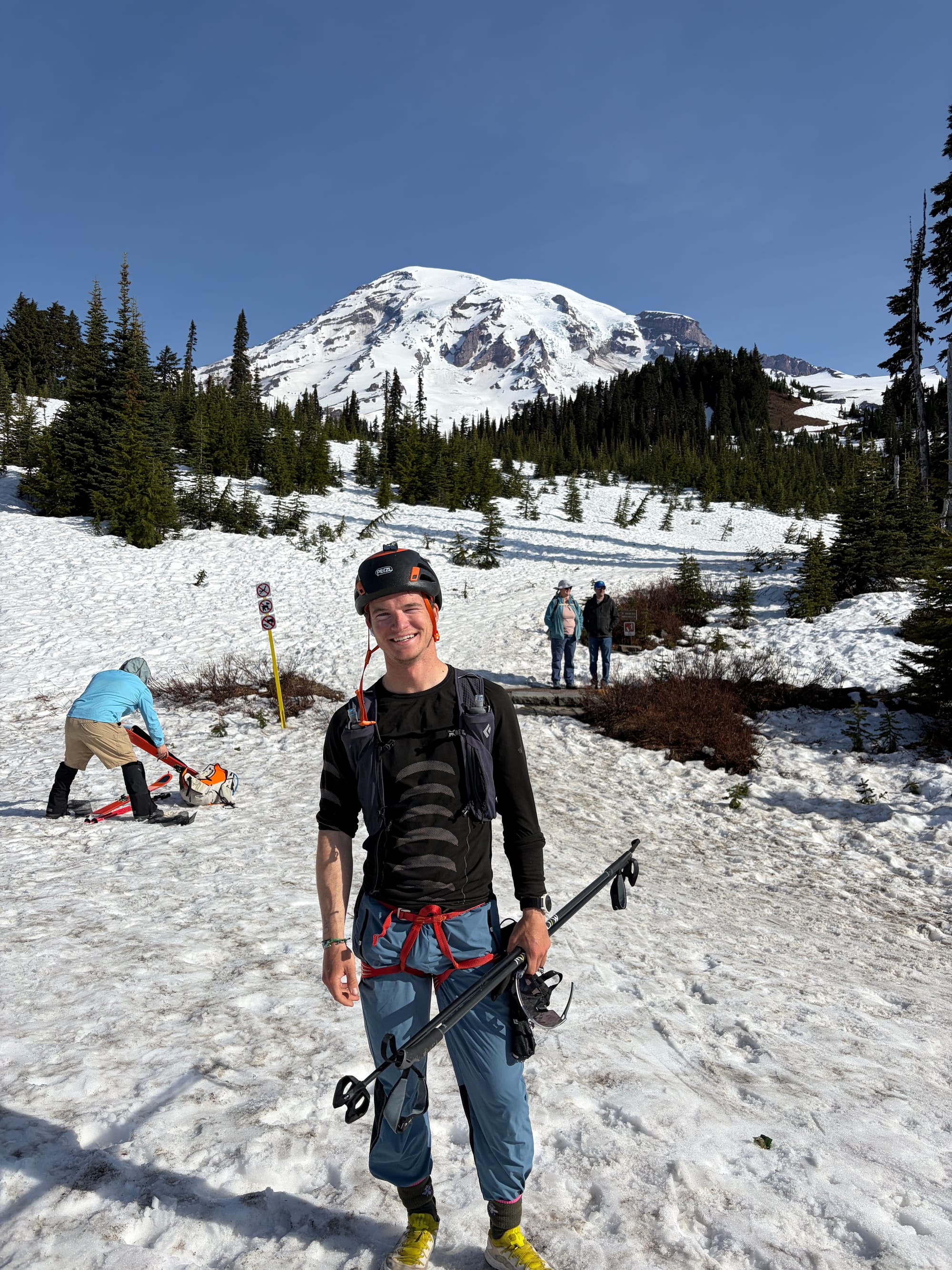
Simon stepped onto the snow at Paradise on May 9th carrying only what the unsupported category allows -- no outside assistance, no crew, no resupply. The early going was uncertain.
"I felt pretty off for the first twenty minutes running in the soft snow at the bottom," he said. "But by Pebble Creek, 30 minutes in, my body came around and I knew it would be a good day."
From there, the run became something else entirely. He split 1:15 to Camp Muir -- a benchmark that told him everything -- and felt stronger the higher he climbed. The upper mountain, the part that breaks most people, was where Simon came alive. Friends, RMI colleagues, and guides out skiing for the day cheered him on as he moved through the high camps.
He reached the summit at 2:34 -- roughly 30 minutes faster than King's ascent split during his FKT run. The record, barring a catastrophic descent, was his.
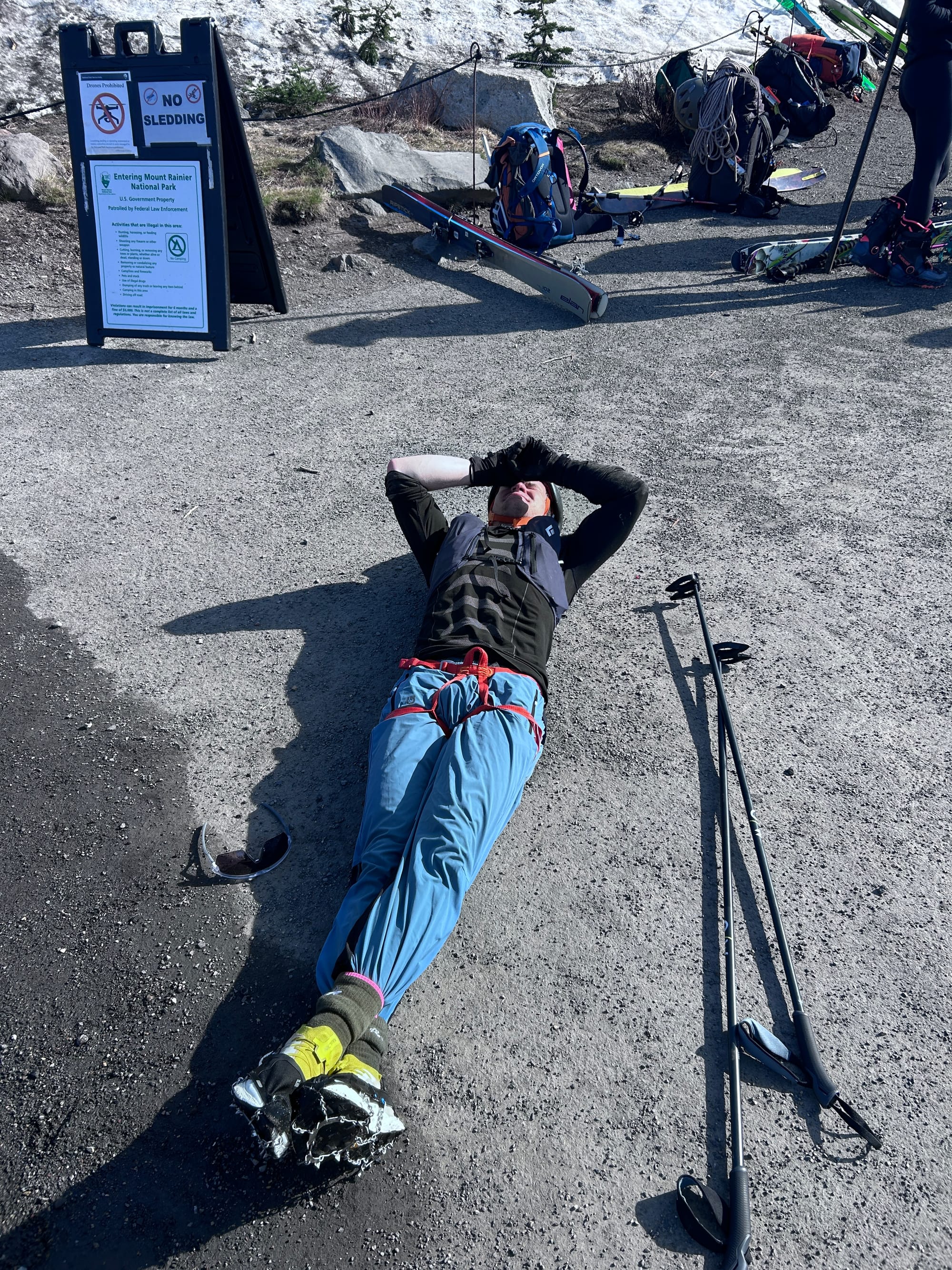
"Getting back down to the parking lot 31 minutes under the record felt incredibly emotional and I had to sit and cry for a bit, which I'm sure confused the tourists."
Final time: 3:43:52.
Bringing It Home
The emotional weight of the moment wasn't just about the number. Simon started guiding for RMI in 2025, and joining the team changed the meaning of the record for him in a way that surprised even him.
"Once I started guiding for RMI last year it made me so much more motivated to get the record," he said. "This mountain means a ton to me and I wanted to bring it back home to RMI."
That's a sentiment with roots. Speed records on Rainier have historically been set by guides -- people who climb the mountain repeatedly, who know where the snow softens in the afternoon and where the wind picks up above the cleaver, who have a relationship with the mountain that goes deeper than any single attempt. Simon's run fits squarely in that tradition.
He's already got seven Rainier summits on his resume -- including the new car-to-car best time of 4:18 -- along with FKTs on Mount Hood and Mount Massive, summits of Mont Blanc, the Grand Teton, and 33 of Colorado's 58 14ers. He grew up at the foot of the San Juans in southwestern Colorado and has been running mountains since he was 12 years old. If you catch him at Camp Muir between guiding trips, he's probably got a chess board.
But on May 9th, he was just running. Running a mountain he loves, in a time no one has touched.
Want to climb with Simon or learn more about him? Check out his guide profile here!
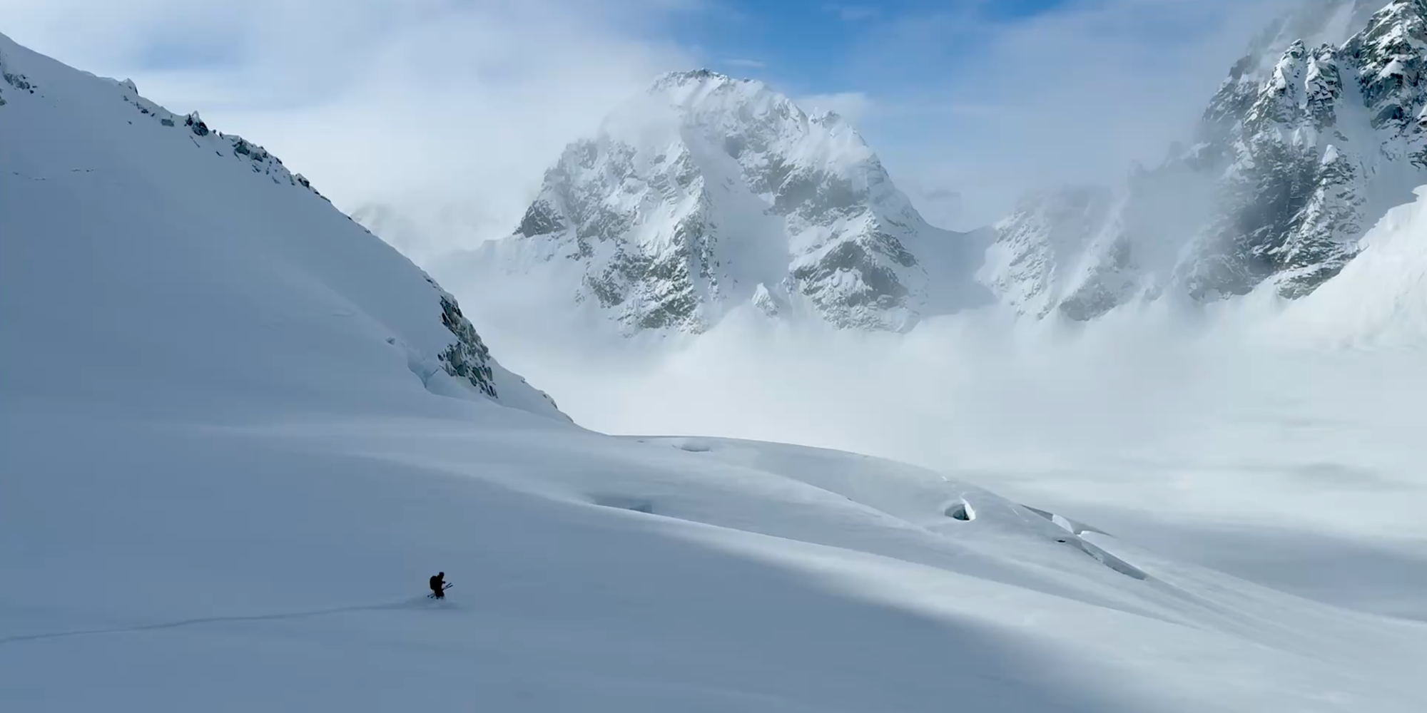
Dropping into the steep entrance of the Granite 2 couloir was instantaneous: two feet of settled powder swallowed the skis and the world narrowed to the steady rhythm of jump-turn, breathe, jump-turn. The first few turns were tight and controlled before the terrain opened up and the following arcs were pure suspension, soft snow spraying against the bright blue sky. It was one of those bluebird days where the light sharpens everything: the steep granite walls on either side, the jagged teeth of the Alaska Range, and the expanse of the glacier below. Being at the right place at the right time, getting to ski that kind of untouched snow in that terrain was a wonderfully rare and perfectly simple reward.
The approach to ski a line such as this is equal parts luck and honest work.
After a gorgeous day to fly onto the Pika and set up camp, an exceedingly mellow snowstorm set in for two days. This storm brought 18 inches of low-density "cold smoke" snow that, as we say in the industry, "came in right side up" (meaning that as the storm progressed, the snow got progressively lighter). Perhaps more fortunate than the snow itself was the wind, or rather the lack of it. Over the course of those two days there was barely a whisper of wind among the falling flakes.
To ski a big Alaska line safely takes work, and ours started well before arriving on the Pika. Sam (my fellow guide on the trip) and I met our clients months before for a few days of backcountry skiing in the Wasatch. This got the entire group on the same page with regards to risk management and gave Sam and me confidence in everyone's skiing and riding ability.
Once on the Pika, the work continued: quick snow pits, terrain observations, a stepped progression of objectives, and systematic scouting were all required. As our confidence in both the snowpack and the crew grew, we set our sights on Granite 2, a consistent northwest-facing couloir with a steep entrance, an open face, and a somewhat complex glaciated exit.
With preparation complete, the work continued with a skin up the backside of our objective. Once at the top, I built an anchor so Sam could perform a belayed ski cut (a standard mitigation tactic used to test for small, new snow avalanche problems). With no red flags present, we began what would turn into a magical descent.
The steep 50-plus-degree entrance presented a different calculus for each person. Some opted for an initial rappel, some a belayed ski, and others clicked in right from the top. Everyone listened to their own inner voice with regards to comfort and ability. Once in, by whatever means, the pure joy of deep settled powder on a steep and picturesque face was found by all.
The main section unfolded into long, pillowy turns as deep settled powder cushioned each arc. There was a playful, weightless bounce to the run: clean face shots, an effortless float, and the kind of grin that comes from skiing something that feels almost too good to be real. All of it balanced, as it has to be in this terrain, by mindful line choice and timing.
We dropped into a slower, more deliberate cadence as the slope eased and the glacier opened beneath us. The snow quality became more variable and the bergschrund approached. In this environment, every turn earns a second thought. Adrenaline is welcome; carelessness is not.
Looking up at the line from below, the granite walls framed a steep fall line cut only by our few tracks. The combination of stable snow, bottomless powder, and flawless visibility made the whole pitch feel improbably composed. In the Alaska Range, that rare alignment of factors — when everything behaves and timing lines up — comes around very rarely. Standing there, I couldn't help but feel humbled and grateful to have been a part of it.
Beyond the line itself, the trip was a full sensory Alaska experience: the mouth-watering smell of burgers from the cook tent, the distant roar of serac falls, the taste of cold air after a hard bootpack, and that incredible stillness at the top before you drop. The Range's scale makes everything feel small and temporary. Tracks fade fast in this environment.
For all the technical planning, the big takeaway was simple: a perfect line, deep settled snow, and a day in the Alaska Range that will not come around again quite like that. The soft hold of powder under skis is a feeling that sticks.
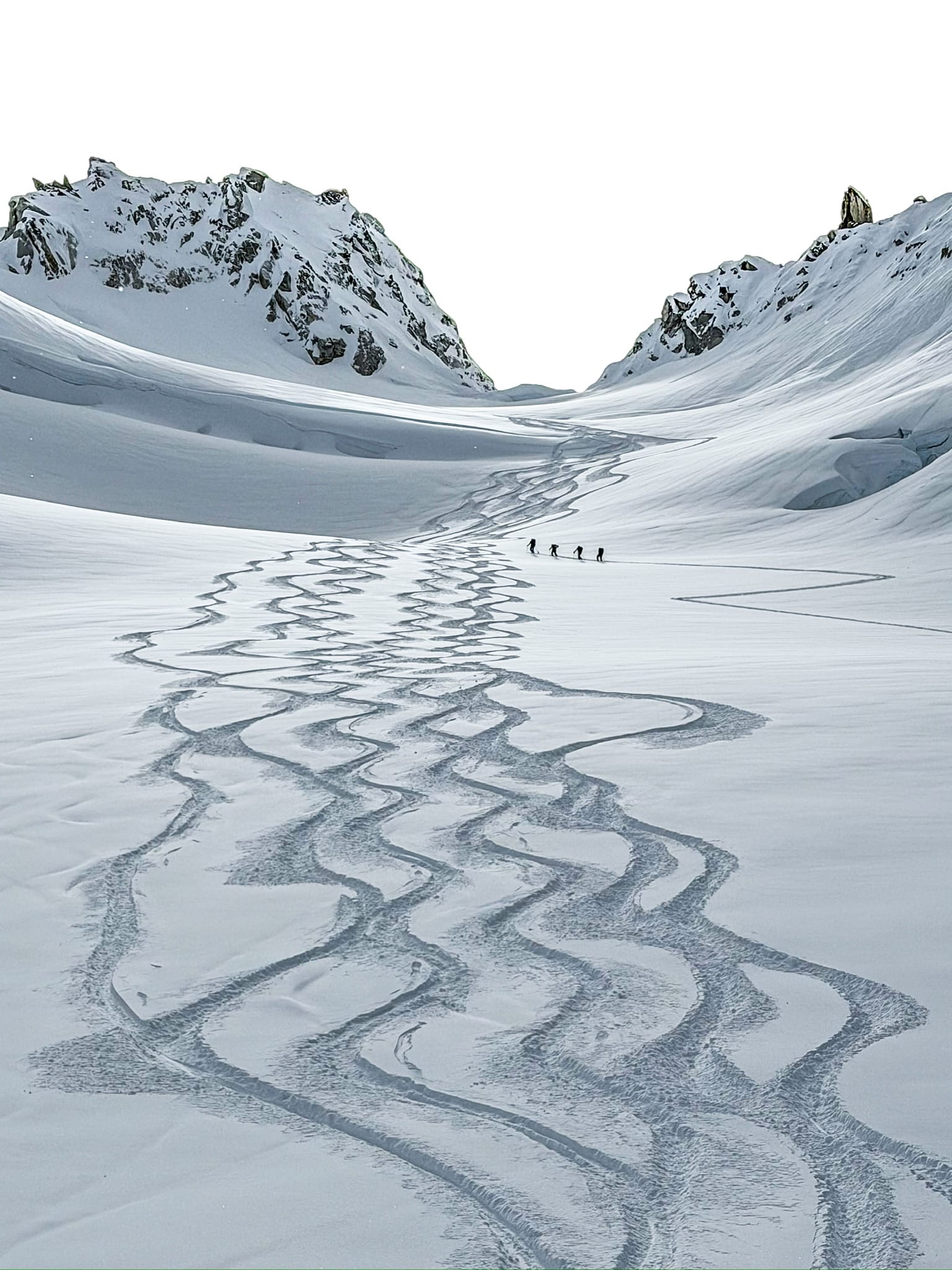
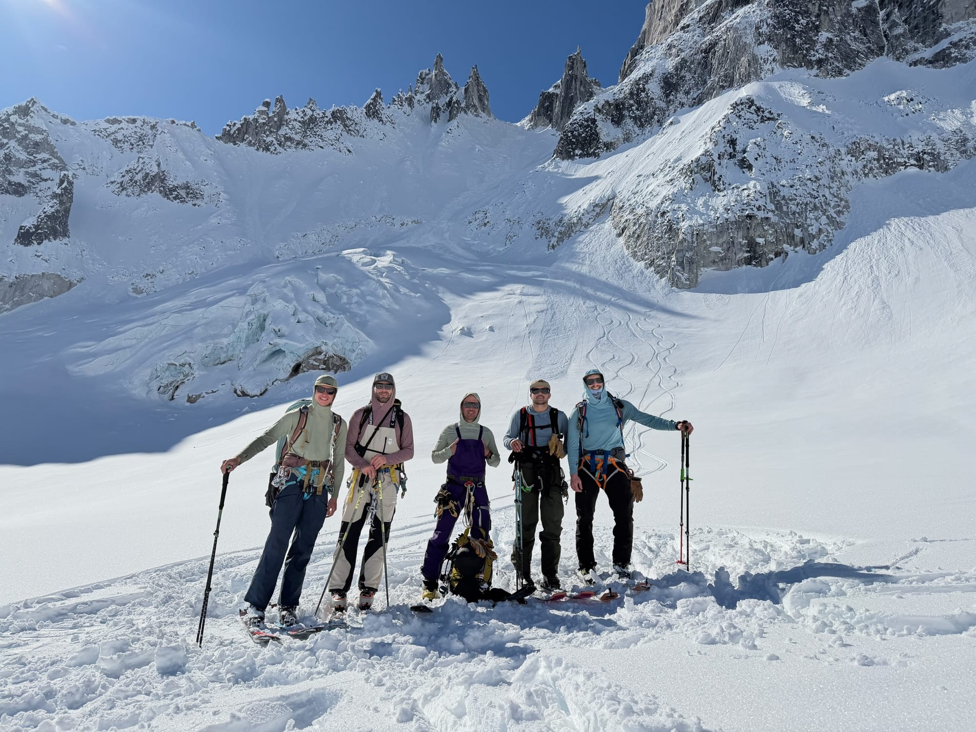
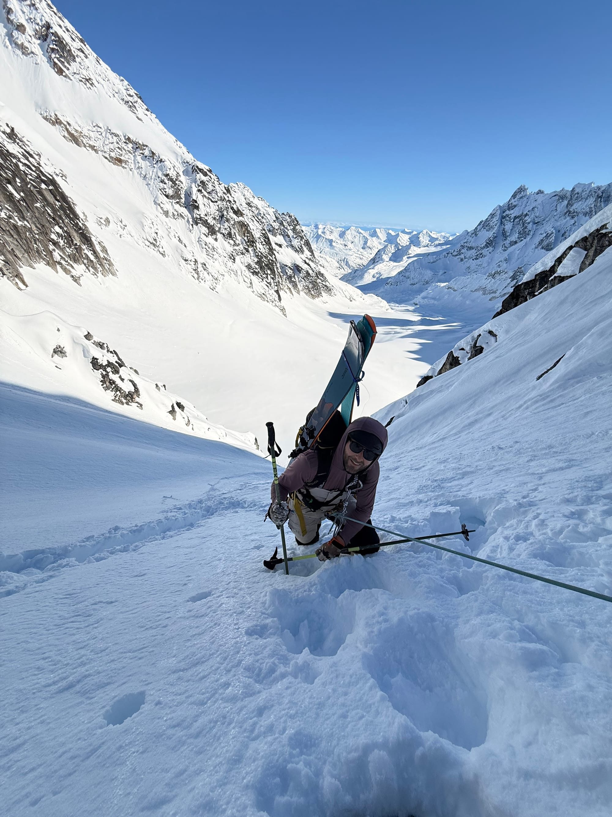
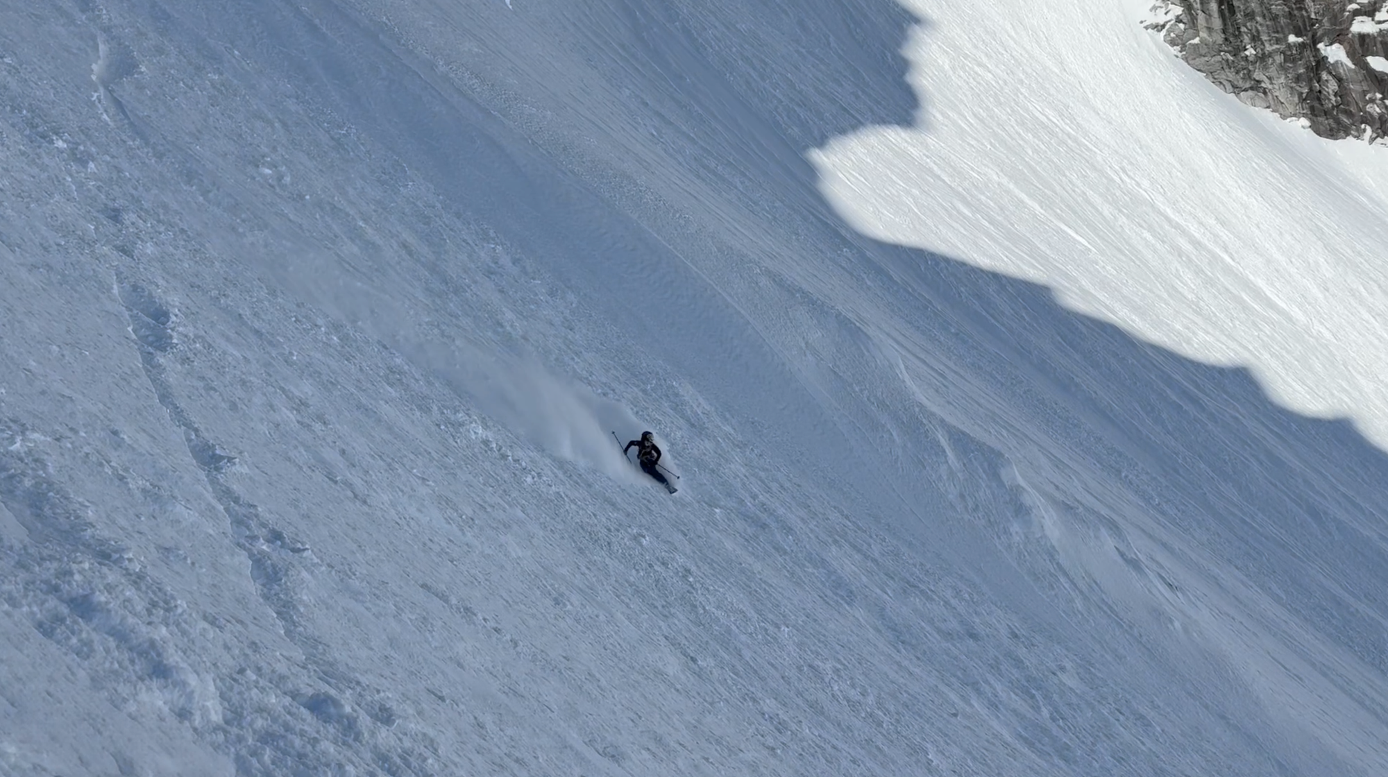
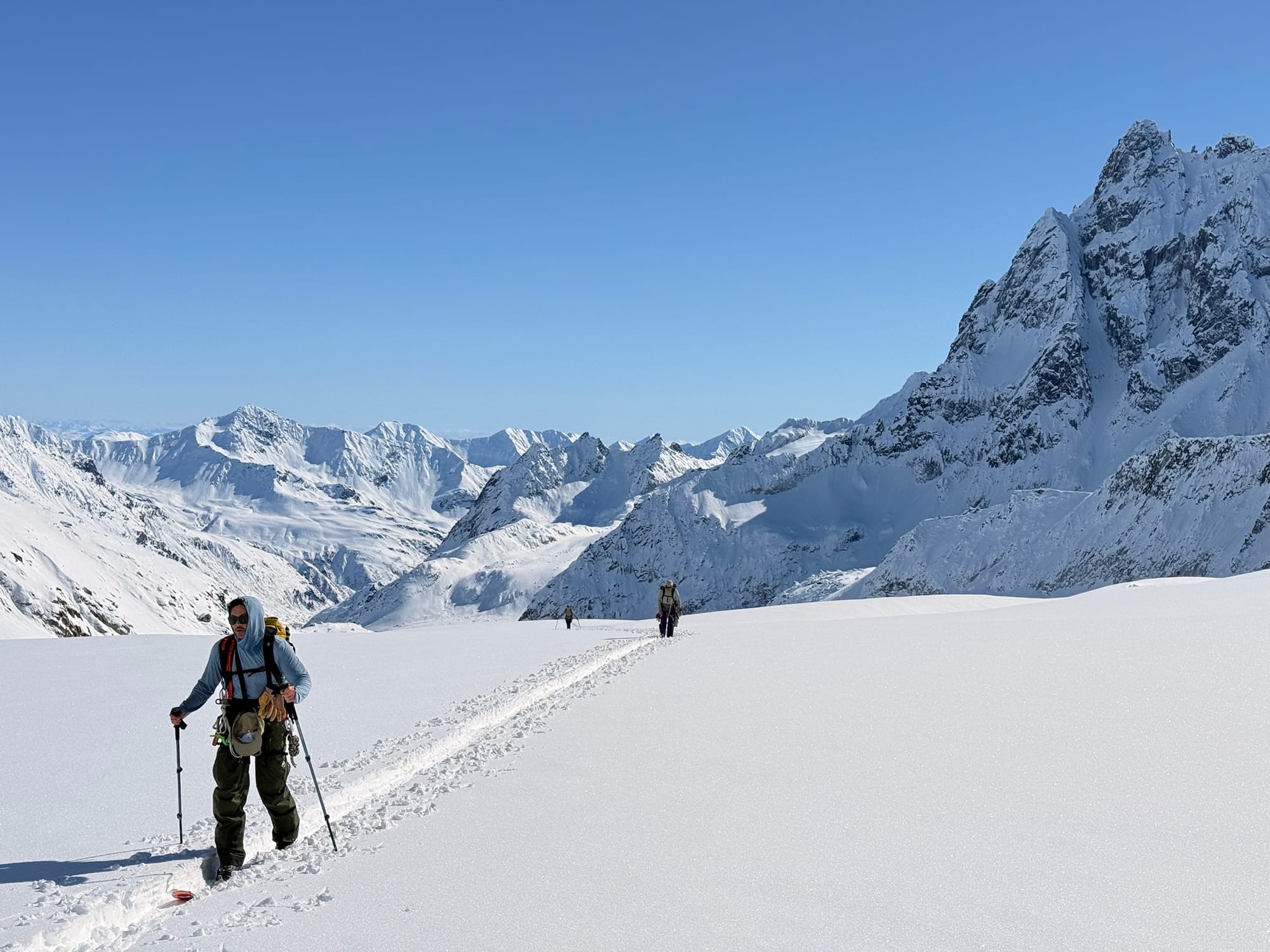
Stories like this one don't happen by accident. They're the product of years of experience reading mountains, managing risk, and knowing when conditions are finally asking you to go. Seth, Sam, and all our guides bring that same preparation and judgment to every RMI expedition. If the Pika has you thinking about your own Alaska adventure, we'd love to help you start planning. Explore our Alaska programs or reach out to our team to learn more.]]>
The mountains we climb are not ours to keep. They belong to the generations of climbers, hikers, and adventurers who will come after us. That's the foundational belief behind Leave No Trace, and it's one that RMI Expeditions has embraced, championed, and helped shape for more than two decades.
Leave No Trace (LNT) is a framework of outdoor ethics developed by the Leave No Trace Center for Outdoor Ethics, a national nonprofit dedicated to protecting the outdoors through education, research, and partnerships. Its Seven Principles provide practical, science-based guidance for minimizing human impact in any outdoor environment, from a local trail to the summit of Denali.
RMI and Leave No Trace: A Partnership Built on the Mountain

RMI's relationship with Leave No Trace goes far deeper than certification checkboxes. In the early 2000s, RMI's own Peter Whittaker completed a Leave No Trace Master Course and realized that established LNT principles didn't adequately address alpine environments. He got to work. RMI hosted a symposium bringing together concessionaires, climbing clubs like the Mazamas and Seattle Mountaineers, and park rangers to develop clear LNT guidelines for the Alpine Zone, protocols that are now applied on mountains worldwide.
That dedication led to RMI being recognized as the first Gold Standard Outfitter and Guide by the Leave No Trace Center for Outdoor Ethics. It's a distinction we're proud of, and one we work every single season to earn.
Today, that commitment shows up in concrete ways. All RMI guides must hold at least a Leave No Trace Level 1 Instructor certification; newly hired guides receive Level 2 training as part of onboarding. On Mt. Rainier, RMI guides contribute 40 volunteer days of Environmental Patrols each season, picking up trash, hauling out waste, and tracking progress by weight. RMI is currently the only guide service on Mount Rainier to conduct these environmental patrols. On Denali programs, an LNT Level 2 Instructor is staffed on every expedition, and Clean Mountain Cans are used to carry all solid human waste off the mountain.
RMI is also one of the few guiding services to offer a Leave No Trace Level 2 Instructor Course combined with a summit of Mount Baker, a five-day expedition that prepares participants to become LNT instructors themselves.

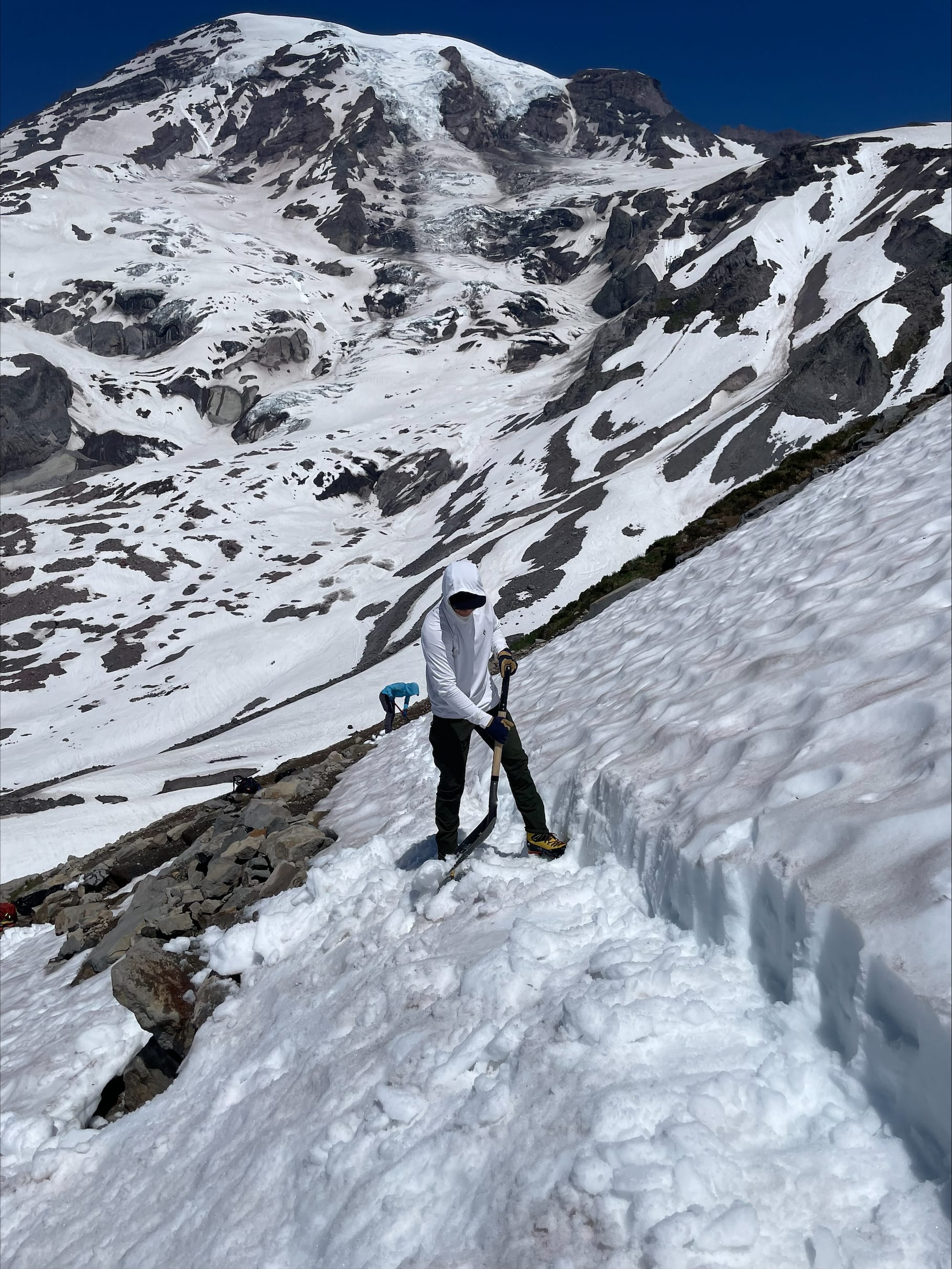
RMI Guides doing environmental patrols on Mount Rainier
Want the full story of RMI's sustainability legacy? Read: Leave No Trace: RMI's Sustainable Climbing Legacy
The Seven Principles
The Seven Principles of Leave No Trace aren't a set of rules handed down from above. They're a shared ethic, a way of moving through wild places with intention and care. Whether you're new to the outdoors or a seasoned alpinist, these principles apply everywhere you go. We've partnered with Leave No Trace to bring each one to life in the videos below.
Please note: The Principle of Travel and Camp on Durable Surfaces has been split into two videos.
1. Plan Ahead and Prepare
Good LNT practice begins before you ever set foot on the trail. Planning ahead means understanding the regulations and special concerns for the area you're visiting, preparing for extreme weather and emergencies, and scheduling your trip to avoid times of high use. It also means thinking carefully about food packaging, group size, and waste management before you leave home. The more intentional your preparation, the less impact you'll leave behind.
2. Travel and Camp on Durable Surfaces
In the mountains, where you put your feet and pitch your tent matters enormously. Durable surfaces like rock, gravel, dry grass, and snow can withstand repeated use without lasting damage. Fragile alpine vegetation, on the other hand, can take decades to recover from a single careless footstep. On established routes, concentrate use on existing trails and campsites. In pristine areas, spread out to avoid creating new impact zones.
3. Dispose of Waste Properly
Pack it in, pack it out. That applies to everything: food scraps, litter, and yes, human waste. In alpine environments, improper waste disposal contaminates water sources, spreads disease, and leaves a visual impact that degrades the experience for everyone who follows. On high-use peaks like Mt. Rainier and Denali, RMI requires the use of waste disposal systems, blue bags on Rainier and Clean Mountain Cans on Denali, to ensure nothing gets left behind.
4. Leave What You Find
The rock formation, the wildflower, the bleached bone on the glacier. Leave it exactly as you found it. Taking natural objects or disturbing historical structures removes something irreplaceable from the landscape. The principle extends to cultural and archaeological sites as well. Observe and photograph, but resist the urge to collect. The best souvenir is the memory.
5. Minimize Campfire Impacts
In alpine environments, campfires are rarely appropriate and often prohibited. Above treeline, there's no wood to burn, and the visual and ecological scars fires leave behind are long-lasting. Use a camp stove for cooking and a headlamp for light. Where fires are permitted at lower elevations, keep them small, use established fire rings, burn only small sticks found on the ground, and make sure the fire is completely out before you leave.
6. Respect Wildlife
Mountains are habitat for marmots, ravens, mountain goats, and dozens of other species that call the alpine zone home. Observe wildlife from a distance and never feed animals, even accidentally. Storing food and scented items properly protects both the wildlife and your group. Give animals space, especially during sensitive periods like nesting or denning season. On Rainier, that means being mindful of marmot burrows near popular campsites like Camp Muir.
7. Be Considerate of Other Visitors
The mountains are a shared space. Yield to uphill climbers on the trail, keep noise levels down, and be mindful of how your group's pace and behavior affects others on the route. In camp, maintain a respectful distance from other parties and keep communal areas clean. The goal is for everyone to have an experience worth returning for.
Leave No Trace isn't something you do once and check off a list. It's a practice, one that gets sharper the more time you spend in the mountains. Whether you're planning your first climb with RMI or your fifteenth, we encourage you to carry these principles with you on every trip, on every mountain, in every environment you're lucky enough to explore.
The mountains give us a lot. Let's give them back the same.
]]>Climbing Mount Rainier is a dream for a lot of people. At 14,410 feet, it's one of the most iconic mountains in North America and one of the best places in the world to actually learn how to be a mountaineer. Not just read about it. Do it.
But if you've started researching a beginner's guide to Mount Rainier, you already know how fast the information piles up. Training plans. Gear lists. Glacier travel. Altitude. Weather. Crevasse rescue. It can feel like drinking from a firehose before you've even laced up a boot.
Here's the thing: you don't need to figure it all out at once.
After 50+ years guiding on Rainier and mountains around the world, our guides have learned that success usually comes down to a handful of habits done consistently and well. So we went straight to the source and asked several RMI guides to share the advice they give first-time climbers most often.
Think of this as a field-tested shortcut. The stuff that actually matters, from people who spend a lot of time above the tree line.
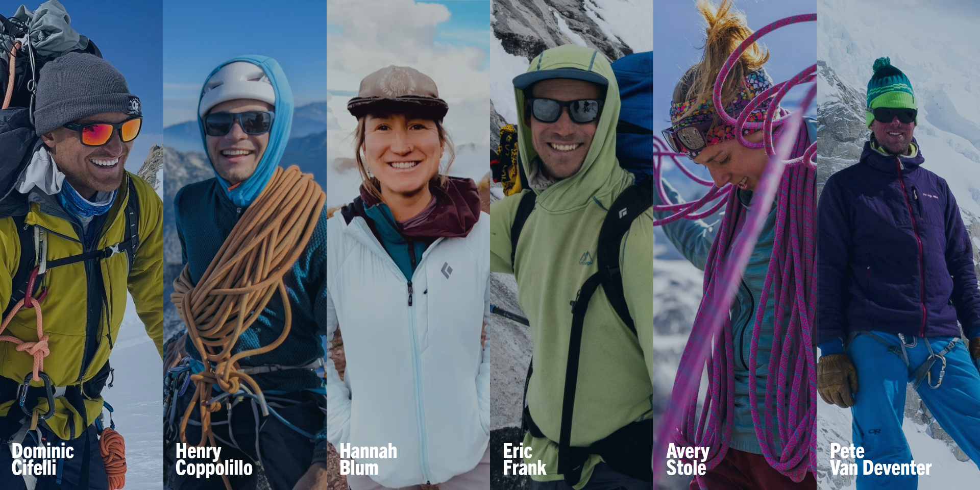
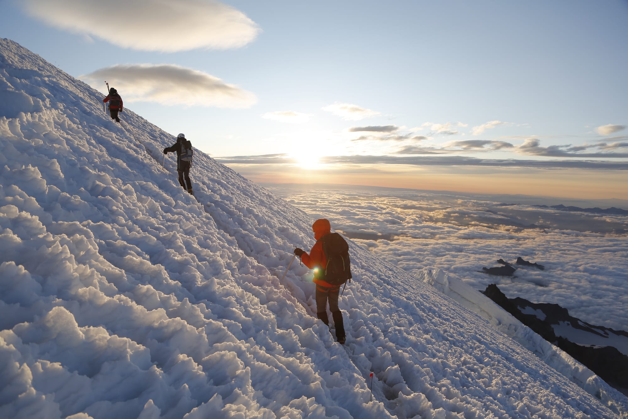
The most common training mistake new climbers make? Putting in serious hours at the gym or on flat terrain. RMI Guide Eric Frank keeps his advice simple: make your training look as much like the actual climb as possible.
"Walking up hills or steps is better than flat ground," Eric says. "Carrying a pack with a similar amount of weight, or work your way up to it, helps immensely."
Stairs, steep trails, weighted hikes. Start lighter and build gradually. If you want a full breakdown of what a Rainier-specific training plan looks like, our training guide is a great place to start.
RMI Guide Henry Coppolillo adds a piece of advice that surprises a lot of first-timers: train for the downhill, too.
"Walking down Mount Rainier will probably be a lot harder than you think," Henry says. "On a regular hiking trail with a light pack, the descent is pretty mindless. But after several thousand feet of vertical gain in your legs plus stiff boots, crampons, and a heavy pack, the descent is potentially just as challenging as the ascent. It's just more of a strength and coordination challenge than an aerobic one."
Seek out steep hikes with uneven footing. Add eccentric leg exercises that target the muscles you use walking downhill. Your future self will be grateful.
One more thing worth knowing before you start training: Rainier isn't your typical 14er. As RMI Guide Dominic Cifelli puts it plainly,"it's colder, windier, and more elevation gain. Bring that parka."
Altitude anxiety is real, and it's one of the things new climbers stress about most. Dominic's take? Keep it simple.
"The best way to feel good at altitude is to have good cardiovascular fitness." That's it. Train well, show up fit, and let your body do its thing. Curious about what to realistically expect up high? We've got an inside look at daily life on Rainier.
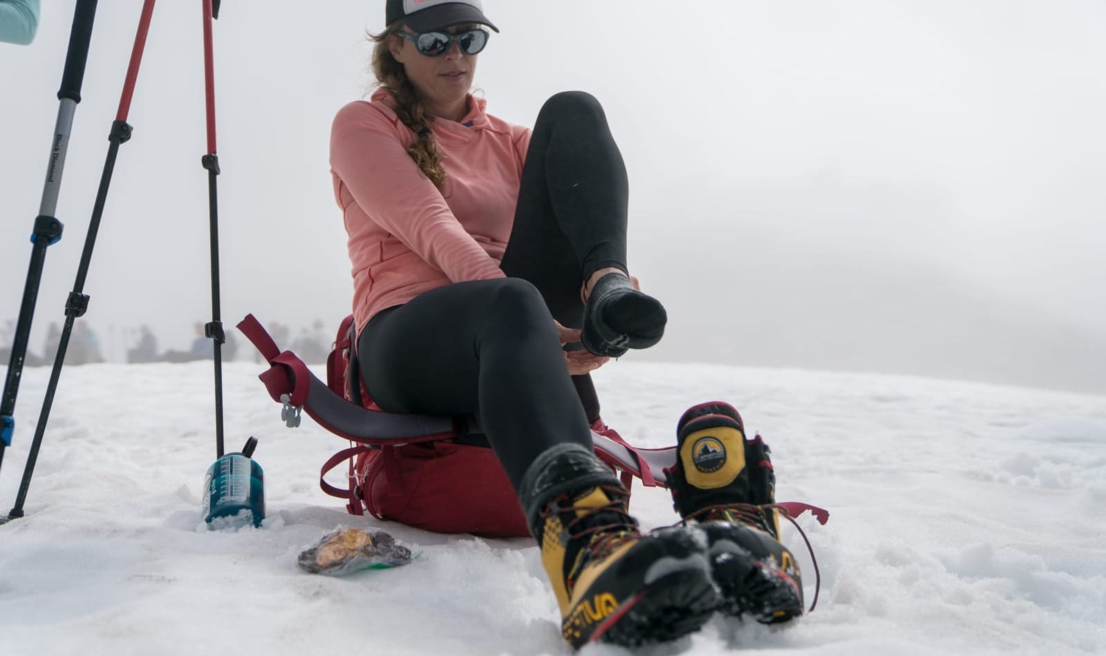
Blisters are one of the most common issues for new climbers. They're also one of the most preventable.
Henry is direct about it: "Speak up right away if you feel a hot spot forming. A few minutes of tape early in the day can prevent a much bigger problem later." If you know you tend to get blisters in the same spots, consider pre-taping those areas each morning before you start moving.
RMI Guide Pete Van Deventer adds that even if you're in rental boots, you don't have to start from zero on comfort. Semi-custom footbeds like Superfeet, Sidas, or ZipFit insoles can make a real difference for support and fit. "Putting your own insoles in a rental boot can make a big difference for comfort and prevention."
Mountaineering is hard. Your gear shouldn't be the reason it's miserable. For a full rundown on what to bring on your feet (and everywhere else), check out our ultimate gear guide.
When you're prepping for your first climb, it's tempting to add just one more thing. An extra pair of gloves. Another shirt. A few backup snacks. Just in case.
Dominic offers a gentle but firm reality check: "Those ounces add to pounds quicker than we'd like to think. Be critical. Taking 10 pairs of underwear on a 4-day vacation is no big deal when you check bags, but you have to carry this on your back!"
Now, full transparency: Eric does sneak a cotton T-shirt into his pack for camp. "It feels incredible after wearing synthetic all day." He even uses it to stuff his parka into a makeshift pillow.
Dominic's response to this? "I know that contradicts Eric's T-shirt tip directly, but for beginner climbers, shaving the weight is more important. Sorry, Eric."
We love our guides.
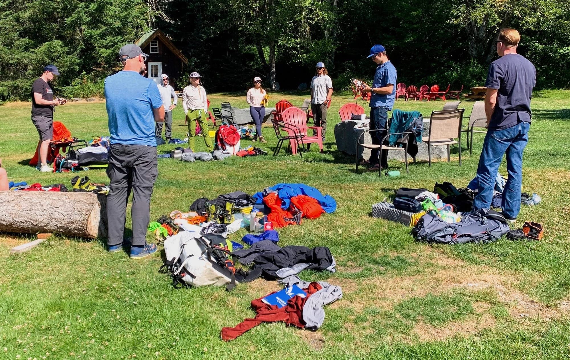
A few small habits that make a surprisingly big difference over multiple days on the mountain:
Sunscreen. Eric cannot stress this enough. "Under the chin, behind the ears, inside the nostrils. I have seen too many trips end because folks are not liberal enough with sunscreen. Every hour isn't too much." High altitude sun hits differently and the reflection off snow makes it hit twice.
Hydration on a schedule. Pete encourages climbers to practice pulling out a water bottle roughly once an hour during training, rather than constant sipping. "That is often quite different from what people are used to and can get in their head on the mountain. You can be thirsty without being dehydrated." Better to get used to it before you're on the glacier.
Food you actually want to eat. RMI Guide Hannah Blum has a simple rule: "Bring snacks you actually want to eat. Your summit snacks should feel like a reward, not a chore." It sounds obvious until you're 12,000 feet up staring at a bar you hate. What you eat on a climb matters more than most people realize, here's how to prep accordingly.
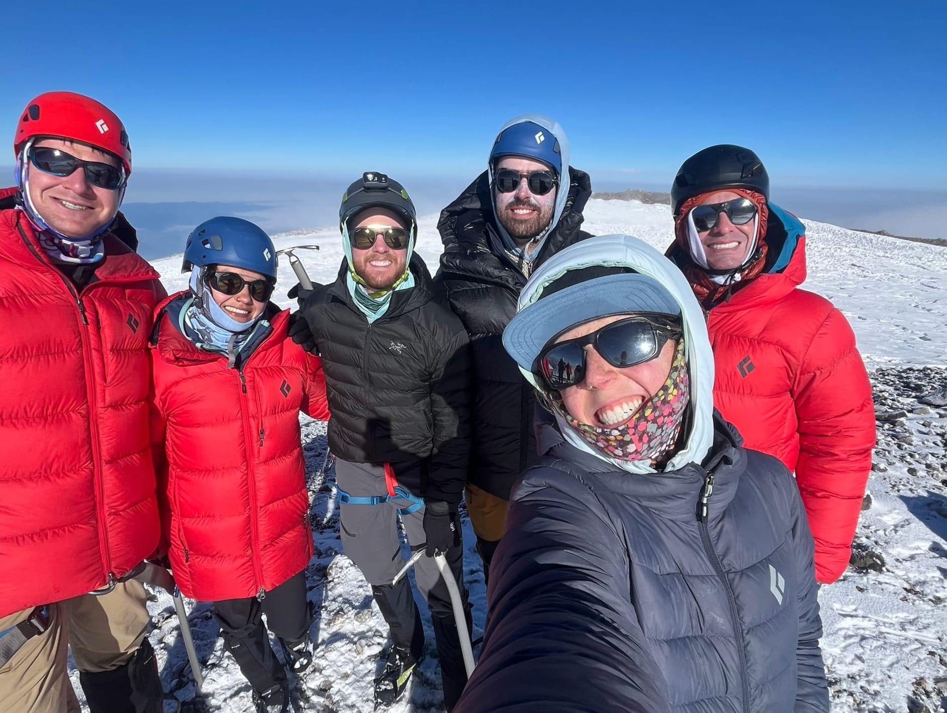
This one is small, but it's a game-changer on summit day.
Hannah's habit: prep everything the night before. Lay it out. Pack it. Know where it is. "That way you can just wake up and climb." When your alarm goes off at 1am and the temperature has dropped and you're half-asleep at high altitude, you'll be very glad you did this.
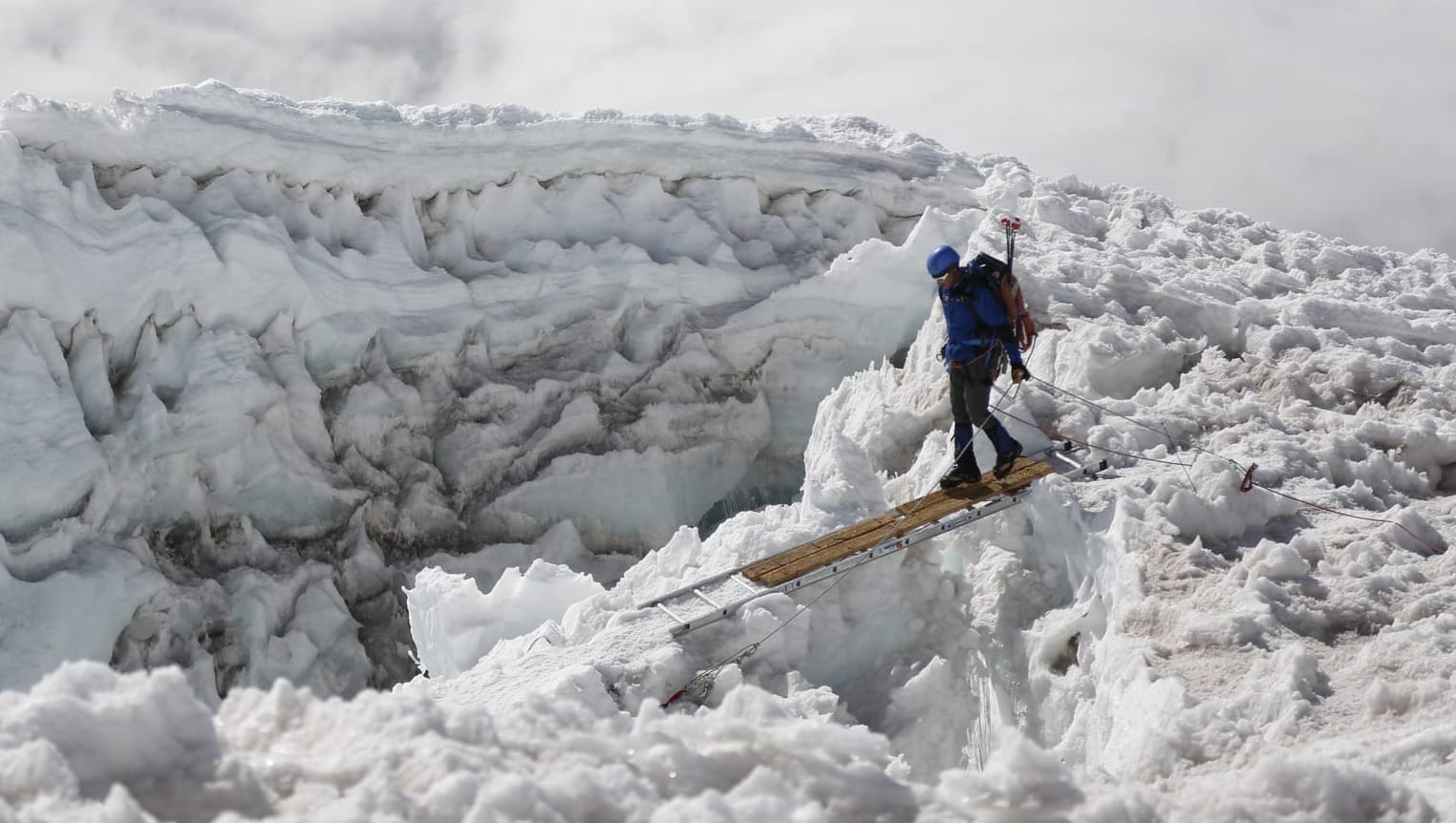
Every climber hits a moment when the mountain feels big and the challenge feels very, very real.
Hannah's advice for that moment is probably the simplest thing in this entire post: "Just breathe."
Focus on the next step. Then the one after that. That's all you need to do right now.
And while you're at it, speak to yourself with kindness. When your legs are screaming to stop, the voice in your head should be on your side.
A few climbers swear by small morale boosters to get through the tough stretches. Hannah puts glitter on before big objectives. "It's guaranteed bliss, even if it's a sufferfest. Actually, it makes a sufferfest so much better." Some paint their nails. "It's nice to take your gloves off and see something pretty." These things sound small, but after a long day at altitude, small things matter a lot. Whatever it is that puts a little spark in your day up there, bring it.
Sleep, by the way, is going to be weird. Between the excitement, the altitude, and early alpine starts, most climbers don't sleep as well as they do at home. That's normal. That's part of it. The sleep you get after you've completed your objective? Hannah promises it will be very, very good.
Hannah has one piece of advice on your mountain hairstyle. Braids.
They fit under a helmet, keep hair out of your eyes when it's windy, and keep things manageable if you're in the mountains for multiple days. Practical and functional.
And if you're thinking about your period on the mountain, you're not alone. Check RMI Guide, Avery Stole's compilation of tips and tricks for managing your flow in the backcountry.
It's easy to get tunnel vision on a climb. Eric's reminder is a good one to carry with you:
"Take a moment to look around, enjoy the incredible beauty, and take a mental snapshot."
The sunrise over the Cascades. The shadow of Rainier stretching across the horizon. The quiet of a glacier at 4am. These are the moments you'll still be talking about years from now.
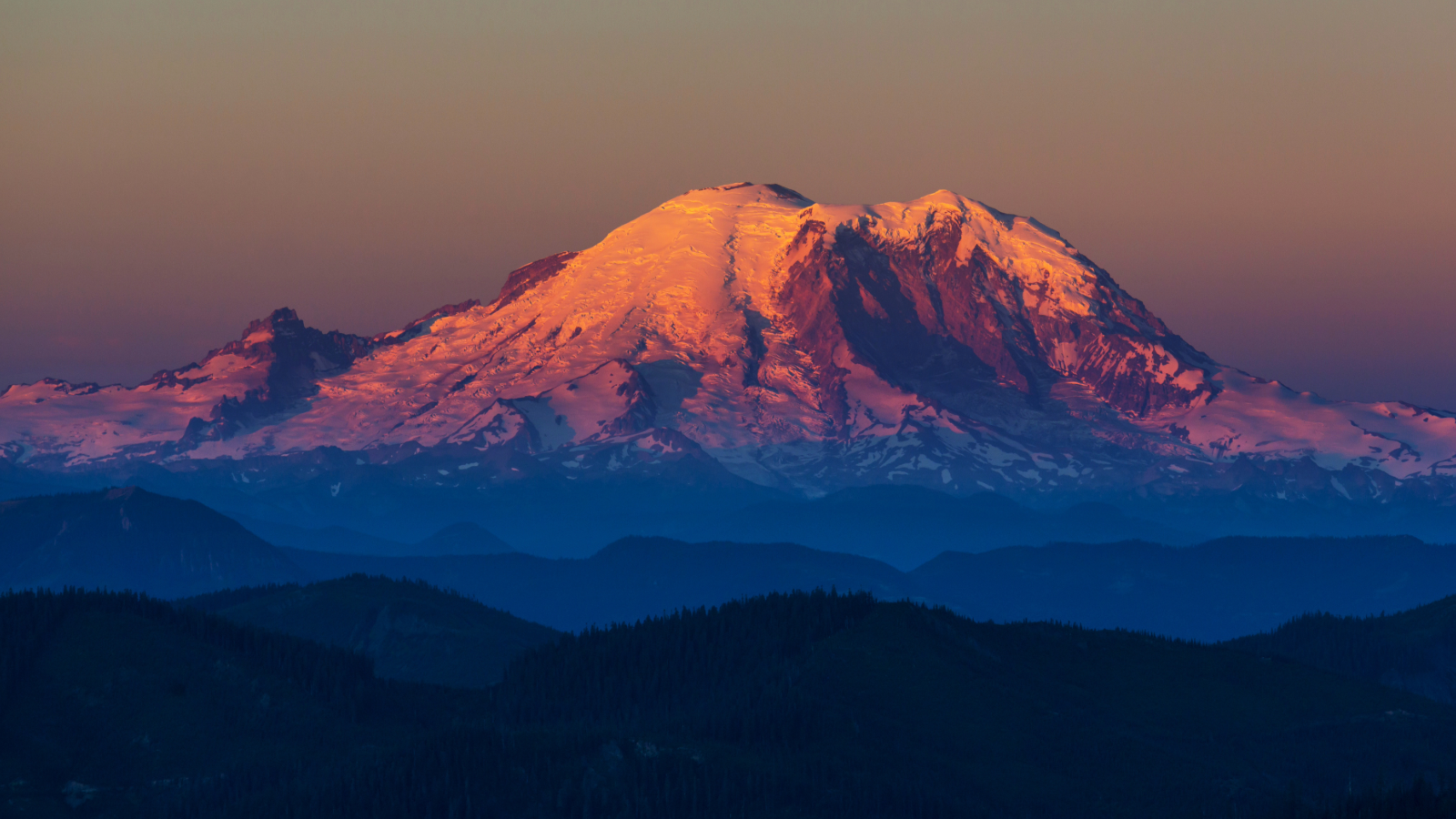
This post is just the beginning. Here are the resources that'll take you deeper into your Rainier prep and if you have questions along the way, our guides are always happy to help!
Here's something we hear a lot at RMI: "I've done a few 14ers in Colorado — I think I'm ready for Rainier."
We love that energy. And we want to help you channel it in the right direction, because Rainier is a different animal. Colorado 14ers typically start around 10,000 feet. Rainier starts at 5,420 feet at Paradise, which means you are earning every single foot of that 14,410-foot summit from much lower down. The approach to Camp Muir alone climbs 4,600 vertical feet with a 25 to 35-pound pack on your back. Then you get a few hours of rest (not sleep, rest) before an alpine start in the middle of the night and a summit push that can run 10 to 14 hours round trip.
Long. Cold. Load-bearing. High altitude. Those four words define what Rainier demands. They should also define how you train for it.
This guide gives you the structure to get there. It's built on the same principles our guides use to evaluate whether climbers are ready, drawn from decades of experience on the mountain. It works anywhere, requires minimal equipment, and scales to wherever you start. Follow it, stay consistent, and you'll show up to the trailhead fit, confident, and ready for the climb ahead.
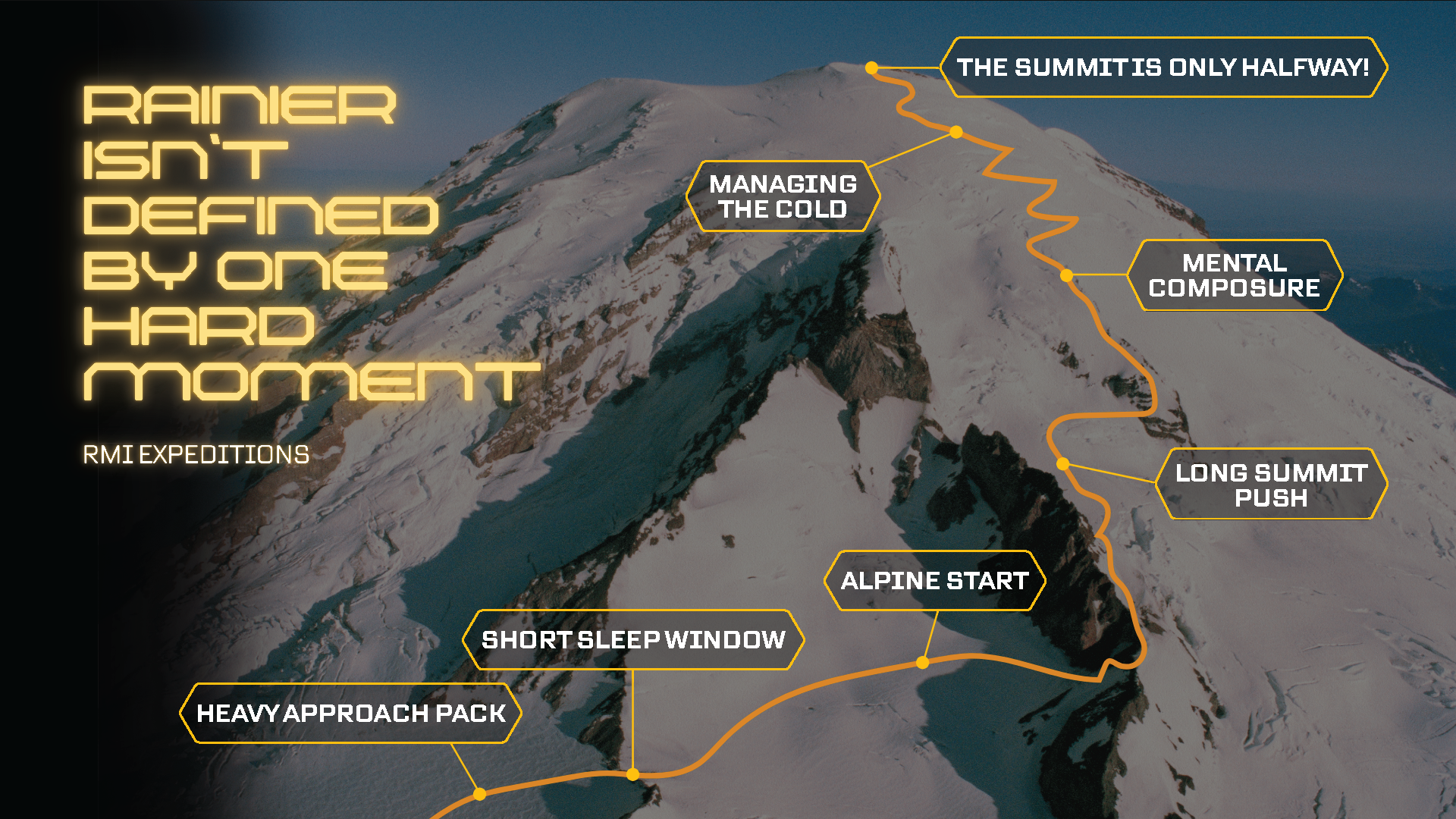
Want to dive deeper into the topics that make up this article? Check out the resources below, or reach out to us for more information - we're always happy to help!
Or check out our Training for Mount Rainier webinar with RMI Guide and Alpine Training Systems owner Dominic Ciffelli.
Good training starts with honest goal-setting. Before you log a single workout, get clear on these questions.
About the climb:
About yourself:
The answers shape everything. Someone with six months and a strong running base trains differently from someone with twelve weeks starting from scratch. Neither is at a disadvantage, but both need a plan that is honest about where they're starting.
One thing worth saying up front: being from Florida is not a disadvantage. We promise. Cardiovascular fitness and muscular endurance are what actually determine your performance on Rainier. A well-trained climber from sea level will outperform a poorly prepared climber from Denver every time. Don't overthink the altitude question; focus on the training.
Three things. Nail these, and you're in a strong position on summit day.

Aerobic Endurance is your ability to move steadily for a long time without redlining. Not sprinting, not gasping, just sustained, efficient movement at an elevated heart rate for hours on end. This is the engine the entire climb runs on.
Muscular Endurance is your muscles' ability to sustain effort under load throughout a full summit day. Think of Rainier as thousands of box step-ups in a row, with a heavy pack, at altitude. Your muscles don't need to be explosive; they need to last.
Fatigue Resistance is your ability to recover between efforts. On the mountain, RMI guides typically target about an hour of movement followed by a 10 to 15-minute rest. How well your body bounces back in that window matters more than most climbers expect.
Check those three boxes, and you're ready to climb. It's really that focused.
Before we get into the plan itself, a mindset note worth internalizing.
There's no single workout that makes or breaks your Rainier preparation. No magic session, no brutal sufferfest that unlocks summit fitness. What actually moves the needle is consistency over a long stretch of time; gradual progression, regular effort, and smart recovery. The longer the runway you give yourself before your climb, the bigger the base you can build, and the more margin you have to absorb a sick week or a minor injury without losing ground.
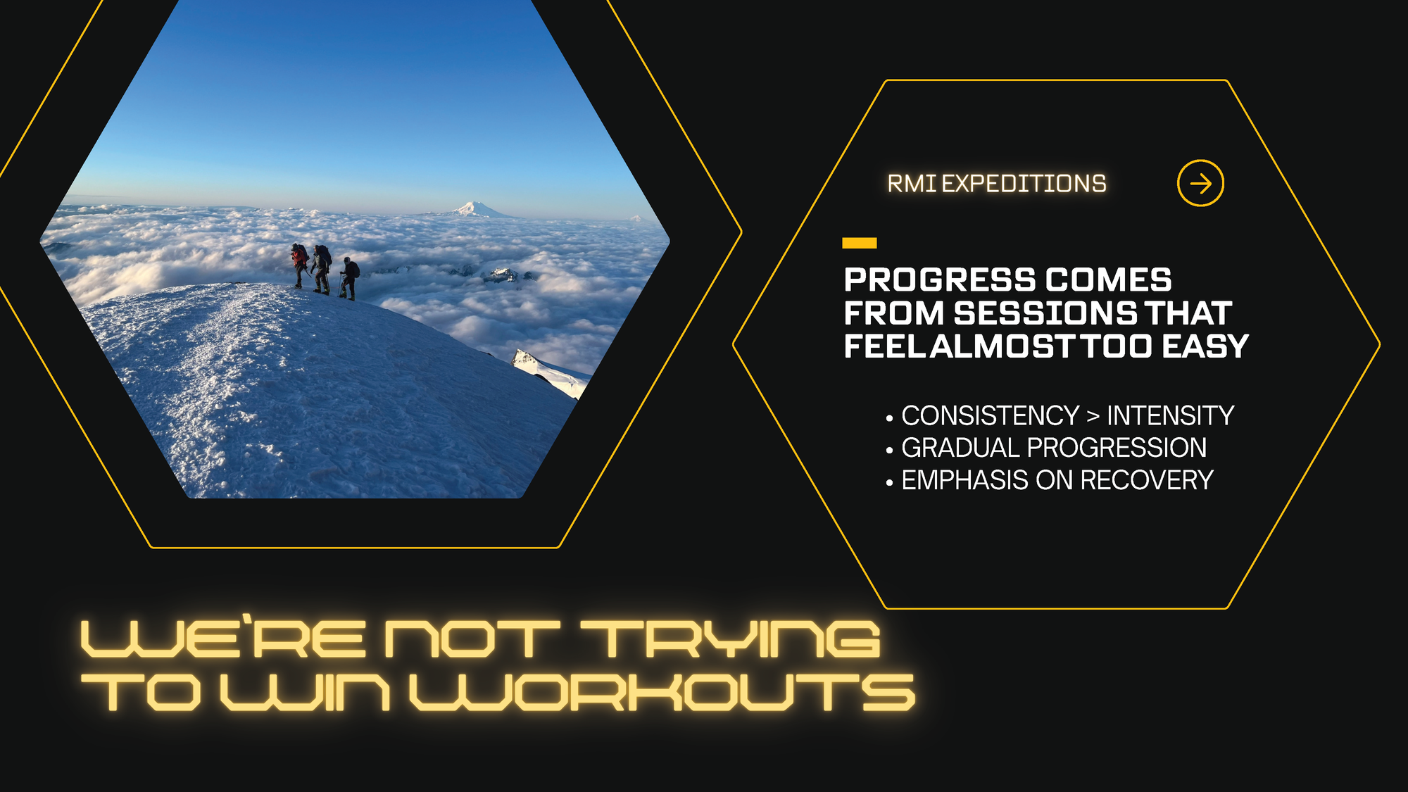
Progress comes from sessions that feel almost too easy. Consistency beats intensity. That's not permission to slack off, it's a reminder that the goal is to arrive at the trailhead in the best shape of your life, not exhausted from cramming four months of training into six weeks.
A perfectly followed, poorly structured training plan beats a poorly followed, perfectly structured one. Commit to something and see it through." — RMI Guide Dominic Cifelli
This is a 16-week program broken into four phases. Each one builds on the last.
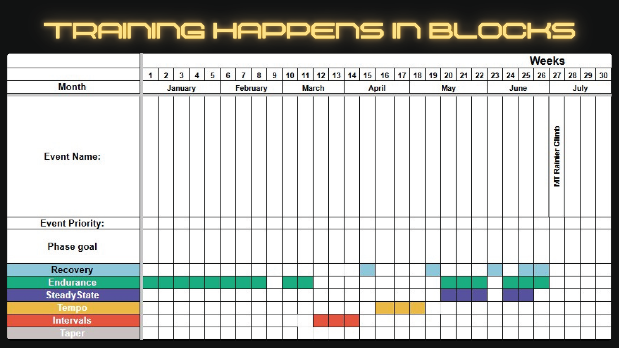
Phase 1: Base Fitness (Weeks 1-4) lays the aerobic foundation. Easy movement, foundational strength, building habits and routine.
Phase 2: Mountaineering-Specific (Weeks 5-10) adds intervals, weighted pack hikes, and more targeted strength work. You're starting to train like a climber.
Phase 3: Peak Simulation (Weeks 11-14) is where it gets real. Long days, heavy packs, back-to-back efforts that mimic multi-day climbing conditions.
Phase 4: Taper and Recovery (Weeks 15-16) is about arriving rested and ready. Volume drops, intensity drops, and your body banks the fitness you've built.
Time commitment ramps up across the plan. Early phases ask for 4 to 7 hours per week. Peak phase weeks can reach 15 or more hours. Plan your schedule around it — especially in Weeks 11 through 14.
If your climb is sooner or further out than 16 weeks, the phases still apply; you just compress or expand them accordingly. The structure matters more than the exact timeline.
For a detailed week-by-week breakdown with daily workout suggestions, nutrition notes, and progress tracking, download the RMI 16 Week Training Plan Template. This blog covers the framework and the reasoning, but the template gives you the full detail.
The goal: Build a broad aerobic base and establish consistent training habits.
Think of Phase 1 as building the foundation that everything else sits on. The stronger the foundation, the higher the rest of the plan can go. This is not the time to go hard, it's the time to go consistently.
The primary training mode here is easy aerobic movement at a conversational pace. Hikes, runs, bike rides, whatever keeps you moving and injury-free. You should be able to hold a full conversation at this level of effort. If you're gasping, slow down.
Foundational strength work starts in Phase 1 as well, focused on core stability and the movements most specific to uphill travel. Keep it simple: bird dogs, strict sit-ups, and box step-ups are your foundation. These exercises build the stable trunk and lower body capacity that everything else on the mountain depends on.
By the end of Week 4, you'll run your first benchmark test — a timed mile and a push-up count. Record your scores. You'll repeat this test periodically to measure progress and catch anything that needs attention.
| Day | Workout | Duration | Intensity |
|---|---|---|---|
| 1 | Easy aerobic (hike/jog) | 30-45 min | Easy |
| 2 | Strength and core | 20-30 min | Moderate |
| 3 | Rest or light yoga | — | Recovery |
| 4 | Easy aerobic | 30-40 min | Easy |
| 5 | Strength and core | 20-25 min | Moderate |
| 6 | Long hike or run | 60-90 min | Easy-moderate |
| 7 | Active recovery | 20-30 min | Very easy |
What success looks like: You're getting out consistently, your legs feel good, and the easy sessions actually feel easy. That last part is important — resist the urge to push harder than the plan calls for. Want to go deeper on building your aerobic base? Check out our guide to Aerobic Base Training for Mountaineering Success, which covers zone training, long slow distance work, and how to avoid the common trap of building intensity before you've built a proper foundation.
"Stairs, stairs, and more stairs. Whether you find them at a local stadium, in your apartment building, or on the stair climber at the gym — start climbing. Put some weight in your pack immediately and just go." — Ady Peterson, RMI Rainier Summiter
The goal: Maintain your aerobic base while adding interval training, weighted pack hikes, and more targeted strength work.
Phase 2 is where training starts to look and feel like preparation for a mountain. The volume increases, the specificity increases, and for the first time, you'll push above your comfortable aerobic pace.

Not all effort is created equal, and understanding the difference helps you train smarter. Here's how to think about the intensity levels that show up in this phase:
Endurance pace is your forever pace. The effort you could theoretically sustain for many hours. Zone 2 if you're familiar with heart rate training. This stays the backbone of most sessions.
Steady state is a step above endurance, more demanding on both your cardiovascular system and your muscles, but still sustainable. This is actually the most specific training intensity for Rainier, because it most closely mirrors what summit day feels like.
Tempo efforts are shorter bursts near your lactate threshold, the point where your muscles start burning. These build the density of mitochondria in your cells, which helps you resist fatigue and handle heat better. Think of a 3 x 2-minute hard effort with recovery in between.
Intervals are short, high-intensity bursts designed to expand your aerobic capacity. They feel hardest but are actually the least specific to Rainier. They're training your ceiling, not your sustained output. For a full breakdown of interval formats including fartlek, 4x4, and ladder workouts, along with how to balance them with your aerobic base, read our Interval Training for Mountaineering Endurance guide.
Starting in Week 5, add pack weight to your weekend hikes. Begin with 10 to 15 pounds and build gradually toward 20 to 25 pounds by the end of Phase 2. Use your actual climbing gear as ballast if you have it. This is also a great time to find out if anything doesn't fit right before it matters. A practical tip: fill water bottles or jugs to achieve your target weight on the way up, then dump the water at the top so you're descending lighter. Your knees will thank you, and the training adaptation from the uphill is what counts anyway.
| Day | Workout | Duration | Intensity |
|---|---|---|---|
| 1 | Interval: 8 x 2-min uphill repeats | 45-60 min | Hard |
| 2 | Strength (leg endurance focus) | 30-40 min | Moderate |
| 3 | Easy aerobic | 50-60 min | Easy |
| 4 | Rest | — | Recovery |
| 5 | Moderate hike | 1.5-2 hrs | Easy-moderate |
| 6 | Long hike with 20 lb pack | 3-4 hrs | Moderate |
| 7 | Active recovery | 20-30 min | Very easy |
Phase 2 is when strength training evolves from core foundation work to more mountain-specific loading. Add split leg squats to build the single-leg stability that every uphill step demands. Turkish get-ups, kayakers, and leg raises keep building the core strength that keeps you efficient — and safe — under a heavy pack.

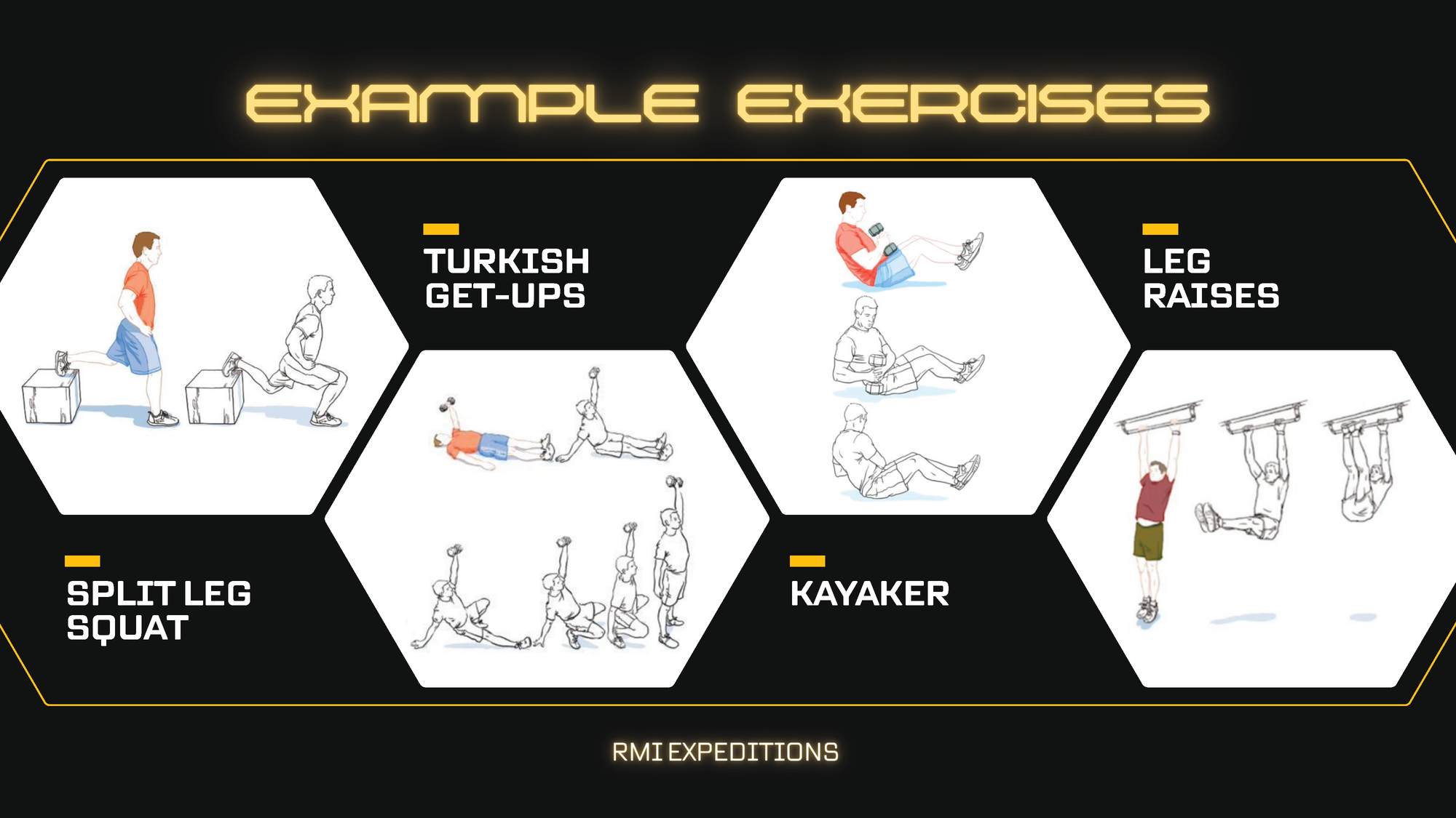
Important framing here: strength training is the cherry on top of your cardiovascular work, not a replacement for it. If you're cooked from a big aerobic week, skip the gym session. Take the rest seriously instead. A well-rested climber outperforms an overtrained one every time.
Benchmark test in Week 8. Repeat the timed mile and push-up test from Week 4. You should see real gains. If numbers have stalled, it's a signal to look at recovery and nutrition before adding more volume.
The goal: Put everything together. Long days, heavy packs, back-to-back efforts that mirror real climbing conditions.
This is the hardest part of the plan, and that's intentional. Week 14 in particular may be harder than the climb itself. That's the point; you want to arrive at the mountain having already done something this demanding, so the climb feels familiar rather than shocking.
Weekend hikes in Phase 3 extend to 5, 6, and eventually 7 to 8 hours. Pack weight builds to 30 to 35 pounds and eventually approaches 40 pounds on your biggest days. These are not jogs in the park, so plan them like you'd plan the climb itself. Check the weather, bring the right gear, let someone know your route, and leave early enough to account for the time.
In Weeks 12 and 14, you'll take on back-to-back long hiking days over the weekend. You may be tired on the second day. That's the training effect. Your body learning to perform under accumulated fatigue is exactly what multi-day climbing demands.
If you're local to the Mount Rainier area, consider hiking to Camp Muir for your big training day in Week 13. Nothing simulates the approach like the actual approach.
Week 12 introduces fartlek training — a Swedish term that means "speed play." During your training hike, you pick a target on the trail (a tree, a switchback, a rock) and push hard to it, then settle back to your regular pace. You choose the intervals, vary the lengths, and keep it spontaneous. It's fun, it replicates the unpredictable demands of mountain terrain, and it's genuinely a nice change of pace after weeks of structured efforts.
| Day | Workout | Duration | Intensity |
|---|---|---|---|
| 1 | Interval: 5 x 3-min uphill repeats | 45-60 min | Hard |
| 2 | Strength (compound movements) | 30-40 min | Moderate |
| 3 | Easy aerobic | 60-90 min | Easy |
| 4 | Rest or optional benchmark test | — | Recovery |
| 5 | Medium hike | 2-3 hrs | Moderate |
| 6 | Long hike with 35 lb pack | 5-7 hrs | Moderate-hard |
| 7 | Active recovery | 20-30 min | Very easy |
Peak training weeks demand serious recovery between efforts. Sleep, nutrition, and rest days are not luxuries at this point, they're part of the training. Recovery weeks aren't a break from training. They're when adaptation actually happens. Your body rebuilds stronger during rest, not during the workout itself. If you're feeling beaten down heading into a big week, pull back. Arriving undertrained is recoverable. Arriving injured or overtrained is not. For a deeper look at how to structure recovery weeks, how much to reduce volume, and what adaptation actually looks like, read Mountaineering Training: Recovery and Consolidation.
"It is to date the HARDEST physical challenge I've ever taken on — even as a collegiate athlete and a yoga, barre, and spin instructor. What got me to the top was the right preparation." — Ady Peterson, RMI Rainier Summiter

The goal: Arrive at your climb rested, not exhausted.
Here's a hard truth about the final two weeks: you cannot meaningfully improve your fitness anymore. The work is done. What you can do is show up fresh, and that matters more than most climbers realize.
Training volume drops by around 50% in Week 15. Intensity drops too. Short, easy efforts keep your legs moving without digging into your recovery. Resist the urge to squeeze in one last big training day. The mountain will be there. Your job right now is to rest.
Week 16 is about logistics, gear, and mental readiness. Triple-check your kit. Eat foods you know your body handles well; this is not the week to try anything new. Hydrate consistently in the days leading up to your climb. Sleep.
| Day | Workout | Duration | Intensity |
|---|---|---|---|
| 1 | Easy aerobic | 30-45 min | Easy |
| 2 | Light strength (1-2 sets, no heavy loads) | 20-30 min | Light |
| 3 | Rest or gentle walk | 20-30 min | Very easy |
| 4 | Short intervals (2-3 x 2 min, not max effort) | 20 min | Moderate |
| 5 | Rest or easy yoga/mobility | — | Recovery |
| 6 | Easy hike with light pack (15-20 lbs) | 2-3 hrs | Easy |
| 7 | Rest | — | Recovery |
If nerves are getting loud during this window, that's normal. Channel them productively; review your gear list, read about the route, visualize the climb. The anxiety is just excitement in disguise, and the training you've done gives you every right to feel confident.
Strength work runs through all four phases, but it's worth addressing directly: strength training supports your cardiovascular work, it doesn't replace it.
Think of a strong core as the tree trunk that everything else grows from. When your core is solid, you move efficiently under load, you make fewer sloppy mistakes on tricky terrain, and you put less stress on your joints over a long summit day. When it isn't, fatigue compounds fast.
Here's how the strength focus evolves across the plan:
Early phase (Phase 1-2): Core foundation and basic uphill capacity. Bird dogs, strict sit-ups, and box step-ups. These build the stability and step-specific strength that everything else builds from.
Later phase (Phase 2-3): More targeted mountain strength. Split leg squats for single-leg stability, Turkish get-ups and kayakers for core control under dynamic movement, leg raises for lower core strength. Eccentric loading — stepping down from an elevated surface slowly — trains your downhill muscles specifically, which take a beating on descent.
One practical note on weighted training: if you're doing weighted hikes and want to train the uphill without hammering your knees on the way down, carry water bottles or jugs to hit your target weight. Dump the water at the top and descend light. It's not cheating, it's smart training.
Nutrition is part of training, not an afterthought to it. What you eat before, during, and after workouts shapes how well you recover and how ready you are for the next session. And what you practice eating during training is what you'll rely on at altitude, so use this time wisely.
Carbohydrates are your primary fuel source, especially for interval work and high-intensity efforts. Don't shy away from them.
Protein repairs and builds muscle. Prioritize a quality protein source at each meal, and get something in within an hour after hard sessions.
Healthy fats provide sustained energy for long aerobic efforts. They become especially important on multi-hour hikes and summit day itself.
If you want to go deeper on how to train your body to burn fat more efficiently and avoid the dreaded mid-climb energy crash, our Becoming Bonk Proof guide breaks down fat oxidation, carb cycling, and zone 2 training in detail.
For workouts over an hour, you need to eat during the effort, not just before and after. Aim for 100 to 200 calories per hour in early phases, building toward 250 to 300 calories per hour by Peak Simulation phase. Eat every 45 to 60 minutes, whether you feel hungry or not. Training this habit now means it's automatic when you're at 12,000 feet, and appetite is the last thing on your mind.
Hydration target: roughly 16 to 20 ounces per hour, depending on conditions, with electrolytes on efforts over 90 minutes.
Here's the real talk on summit day food: at altitude, nothing gets more appealing the higher you go. Foods that seemed fine at the trailhead can become genuinely repulsive by the time you're above 12,000 feet.
The best rule of thumb? If you wouldn't eat it on your couch watching TV, don't count on it at 14,000 feet. Real food — Pringles, cheese, a Snickers, rice crackers — often works better than engineered nutrition products at altitude. Bring a variety. You want to be able to look in your pack and find something you actually want to eat, even when your appetite is gone.
Use your long training hikes in Phases 2 and 3 to experiment. Find out what your body handles well under sustained effort and at mild fatigue. Show up to the mountain with a proven fueling system, not a bag of optimism and trail mix.
"Pack real food — ideally food that you love, so that you'll be willing to eat even when you don't want to. I packed dried fruit, date balls, and pre-made quinoa. Calories are your friends up there." — Ady Peterson, RMI Rainier Summiter
When you're ready to plan exactly what you'll pack for the actual climb, our Mount Rainier Food Guide covers meal planning by day, calorie targets, and the best foods to bring for each part of the climb.
Readiness isn't a single test, it's a pattern. It's showing up consistently, building week over week, and arriving at the trailhead knowing you've put in the work.
That said, there is one concrete benchmark that RMI guides point to as a reliable indicator: Can you gain 1,000 vertical feet in an hour carrying a 25-pound pack and feel like you could go a little faster?
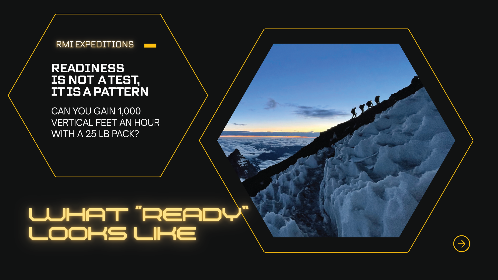
That's the pace of a typical section on Rainier. We move roughly 1,000 feet per hour, take a 10 to 15 minute rest, and do it again. If you can hit that number and still have something in the tank, you're in a good position. If you can do 2,000 feet per hour, even better — but 1,000 is the baseline worth targeting.
Run this as a field test in the final weeks of Phase 3. Find a hill with measurable elevation gain, load your pack to 25 pounds, and see where you are. Use it as a confidence check, not a pass/fail verdict.
| Metric | Week 4 | Week 8 | Week 12 | Week 14 |
|---|---|---|---|---|
| 1-Mile Run (min) | ||||
| Push-Ups in 1 min (#) | ||||
| Uphill time trial (1,000 ft gain) | ||||
| Pack stair climb (floors in 15 min) |
Tracking these numbers across the plan gives you real data on what's improving and what needs attention. Watching them move in the right direction is also one of the best motivators there is.
For more on how to design and use benchmark tests throughout your training, including creative test ideas and how to adjust your plan based on results, read The Importance of Benchmarking.
Mental fitness doesn't get trained in the gym; it gets built on the trail, in the rain, on the days when you really don't feel like going.
Every time you get out when conditions aren't ideal, when you're tired, when the couch is calling, you're building something. Not just fitness, but the confidence that comes from knowing you've done hard things. That confidence shows up on the mountain when things get uncomfortable, and they will get uncomfortable. You'll be able to say to yourself: I've been here before. I kept going then. I can keep going now.
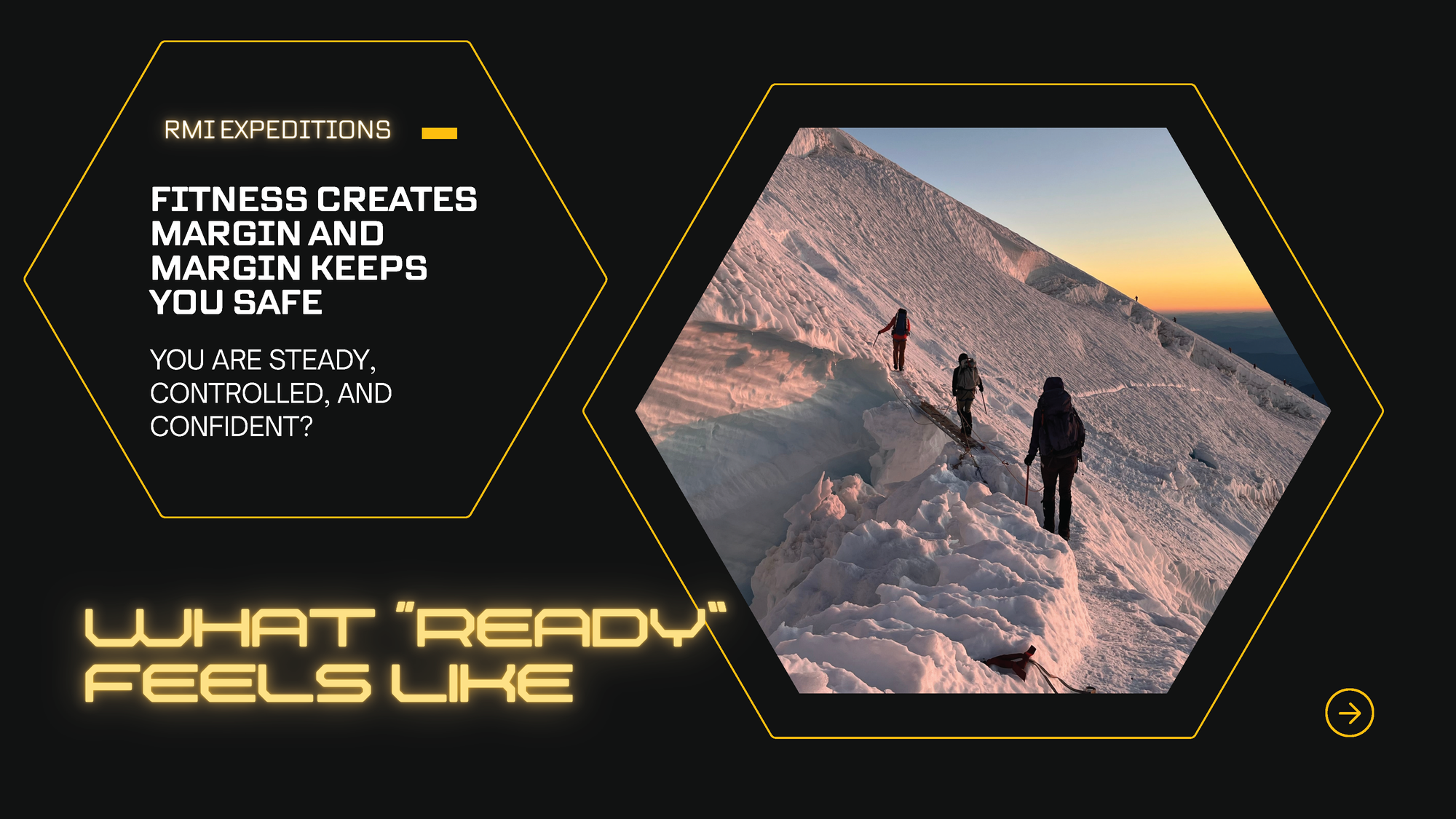
Fitness also creates margin, and margin keeps you safe. A fit climber moves steadily and efficiently, makes fewer mistakes on technical terrain, and has something in reserve if conditions change and the team needs to move faster. Speed through exposed sections is sometimes a safety tactic on Rainier. You want to have it available.
The mountain doesn't care about your excuses, but it does reward your preparation.
This plan is built around Mount Rainier, but the framework applies to any major mountain objective. If you're training for a different peak, adjust the emphasis based on your specific challenges: more altitude prep if your objective tops 18,000 feet, more technical skill work if the route involves sustained rock climbing, more endurance volume if it's a multi-week expedition.
The core principles don't change: build the aerobic base first, layer in specific work as you progress, taper before the climb, and arrive rested. Check out our guide to Building a Custom Mountaineering Training Plan for more on tailoring this structure to your next objective.
Every climber comes to this plan from a different starting point, and every training journey looks a little different. For a lot of people, this guide and the downloadable template are all they need to get organized and get moving. For others, having a coach in their corner makes a real difference. Someone to adjust the plan when life gets complicated, push back when you're overtraining, and keep you accountable through the hard weeks.
If that sounds like you, there are a few resources worth knowing about.
On the reading side, two books stand out as genuinely useful for mountain athletes. Training Essentials for Ultrarunning by Jason Koop is a surprisingly applicable resource for mountaineers. The ultrarunning community draws heavily on endurance sports science, and much of it translates directly to long summit days. For something more mountain-specific, Training for the Uphill Athlete by Steve House and Scott Johnston is a deep dive into alpine fitness. Both are worth your time.
For structured coaching platforms, a few options are recommended. Alpine Training Systems offers training plans designed by mountain guides who have stood on Rainier's summit and know exactly what the climb demands. Evoke Endurance is another strong option for climbers who want a more personalized endurance coaching approach. And Uphill Athlete has a wealth of free content alongside their paid coaching offerings, all focused on alpine and mountain performance.
Finally, don't underestimate the value of a training partner. Someone who knocks on your door on a rainy Tuesday morning and says, "Let's go," is worth more than any app or program. The RMI Strava Club is a great place to find people training for the same goals. Log your workouts, follow along with others, and tap into a community of climbers putting in the same work you are.
Whatever combination of resources you use, the most important thing is to commit to a plan and follow it consistently. A training plan you actually do will always beat a perfect plan you don't.
You've got the plan. Now it's time to start using it.
Download the RMI 16 Week Training Plan Template for your week-by-week workouts, nutrition notes, and progress tracking. Join the RMI Strava Club to connect with other climbers going through the same process. And when you're ready to book your climb, explore RMI's guided programs at rmiguides.com.
We'll see you on the mountain.
]]>Whether you're eyeing your first major summit or adding another peak to your experience, this 16-week plan gives you the foundation to arrive at your climb ready. It's built on the same principles we use to prepare climbers for Mount Rainier, but it's flexible enough to adapt to whatever mountain you're chasing.
Inside, you'll find proven conditioning strategies paired with practical guidance on fueling, recovery, and skill development. The goal is simple: show up feeling fit, confident, and excited for what's ahead.
This article takes you through how to use our 16 Week Training Plan Template, which you can download as an Excel or Google Sheets file. If you're using Google Sheets, just click the link, then select File → Make a Copy to create your own editable version.
To get the most out of this plan, check out these RMI resources that dig deeper into the training concepts you'll be using:
Training goals are critically important given the time constraints placed by weather, route conditions, objective hazards, and the effects of altitude. Proper physical conditioning allows you to perform better by climbing longer, stronger and faster, be more comfortable on steeper and awkward terrain, carry heavier loads, recover more quickly at rest, and better enjoy the entire adventure.

Begin by asking these questions:
This 16-week plan breaks down into four phases: Base Fitness, Mountaineering-Specific, Peak Simulation, and Taper & Recovery. You'll gradually build aerobic capacity, strength, and the mountain-specific skills you need. Each week includes suggested workouts, nutrition tips, and space to log your own details.
The keys to success? Consistency, smart fueling, and regular performance checks.
Primary Goal: Build a broad aerobic base and basic strength.
Typical Workouts: Easy runs/hikes, foundational strength work (bodyweight squats, lunges, push-ups), mobility sessions.
Nutrition Emphasis: Increase daily protein, make sure you're getting adequate carbs for moderate-intensity aerobic sessions.
Primary Goal: Add interval training, weighted pack hikes, and skill practice (balance, stepping technique, basic footwork).
Typical Workouts: Hill repeats, speed hikes, progressive pack weight.
Nutrition Emphasis: Refine your fueling strategy. Start incorporating more calorically dense snacks, experiment with fasted easy sessions if you want.
Primary Goal: Longer hikes (multiple hours), heavier packs, possibly back-to-back long days to simulate real climb conditions.
Typical Workouts: 4 to 8 hour hikes on weekends, continued intervals, advanced strength sessions.
Nutrition Emphasis: Practice your "summit day" eating and drinking schedule. Make sure you can handle real trail snacks and meals.
Primary Goal: Significantly reduce training volume (around 50%) so you arrive at your climb feeling rested, not fatigued.
Typical Workouts: Brief, low-intensity hikes, final gear checks, mental prep.
Nutrition Emphasis: Maintain healthy calorie intake without the heavy training load. Focus on hydration, micronutrients, and rest.
To get ready for your climb, you'll want to hit five key areas: aerobic endurance, anaerobic/interval work, strength training, balance/agility, and flexibility/mobility. Each one builds a different piece of your overall fitness, helping you handle long days, steep sections, heavy packs, and quick recovery.
AEROBIC ENDURANCE
ANAEROBIC / INTERVAL WORK

STRENGTH TRAINING

BALANCE & AGILITY
FLEXIBILITY & MOBILITY

Mountaineering training places high demands on your body. Good nutrition ensures stable energy levels, supports muscle recovery, and helps prevent fatigue or injury.
Macronutrient Focus
Mid-Workout Fueling & Hydration
For efforts over 1 hour, plan your snack options (fruit, energy gels, bars, trail mix) and decide how often you'll eat (typically every 45-60 minutes). Note a hydration target per hour (e.g., 10-12 oz) and whether you'll use electrolyte tabs or sports drink.
Ongoing Adjustments
Throughout the 16 weeks, reevaluate how well your nutrition plan is supporting training. Experiment early in the plan to see what works best. By logging your observations, you'll develop a reliable system to keep you fueled, recovered, and ready for each step toward your summit.
Each week includes a table with suggested workouts and space for you to fill in your own details. Think of these as a framework, not a script. Here's what each column is for:
Suggested Workout: We provide a recommended structure (like "Strength & Mobility" or "Interval Hike").
Your Plan: Fill in the actual details. Duration, pack weight, location, intensity level. Make it yours.
Nutrition Notes: Jot down how you'll fuel before, during, or after workouts. This helps you dial in what works.
Progress Notes: Optional space for reflection. How you felt, any gear issues, adjustments you made. Tracking patterns here is valuable.
Use this table to log your benchmark test results every few weeks. Watching these numbers improve is one of the best motivators out there.
Focus:
Nutrition Focus:
Focus:
Nutrition Focus:
Focus:
Nutrition Focus:
Focus:
Nutrition Focus:
Focus:
Nutrition Focus:
Focus:
Nutrition Focus:
Focus:
Nutrition Focus:
Focus:
Nutrition Focus:
Focus:
Nutrition Focus:
Focus:
Nutrition Focus:
Focus:
Nutrition Focus:
Focus:
Nutrition Focus:
Focus:
Nutrition Focus:
Focus:
Nutrition Focus:
Focus:
Nutrition Focus:
Focus:
Nutrition Focus:
Customize Load & Duration: The suggested workouts are guidelines. Scale up or down based on your fitness, local terrain, and schedule.
Listen to Your Body: If fatigue piles up or you feel soreness/injury coming on, reduce volume or intensity. Prioritize rest.
Track Nutrition: Keep a log of what works best, especially on long hikes. Show up at your climb with a proven fueling strategy.
Stay Flexible: Work, weather, and life can shift your plan. Consistency over time beats perfection every time.
Enjoy the Journey: Building mountaineering fitness is challenging and rewarding. Celebrate the gains, learn from setbacks, and have fun with it.
This 16-week program gives you a structured, progressive plan you can adapt to your schedule and objective. Use the template to track your progress, dial in your nutrition, and build the fitness you need. Train well, and we'll see you on the mountain.
]]>You're three months out from your climb. You've been putting in the hours, hitting the trail with your pack, logging the workouts. But here's the question that keeps creeping in: Is it actually working? Am I really getting fitter, or just getting tired?
This is where benchmark testing comes in. Regular, standardized assessments of your aerobic endurance and strength give you real data about your progress. No more guessing. You'll see exactly where you're thriving and where you might need to adjust your approach.
Think of benchmarks as check-ins with yourself. They keep you motivated, help you make smart adjustments, and build confidence as your climb date gets closer.
Tests provide concrete evidence of how your fitness is evolving. Instead of wondering whether your uphill speed is improving, you can look at a time trial result and see real gains (or plateaus). Numbers don't lie.
No two climbers are the same. Genetics, age, training background, lifestyle—all of it affects how you respond to a workout plan. Testing lets you tailor your program to what actually works for your body.
If you're not seeing progress in your uphill speed after six weeks, for instance, you can introduce or modify interval sessions. The data tells you what to adjust.
Knowing you'll retest in a few weeks adds purpose to every workout. You're building toward a measurable goal, not just grinding away. And as you watch your numbers improve, you'll gain confidence that your summit ambitions are within reach.
"Training plans require adaptation to adjust to individuals' physiological differences, and benchmarks give you data points to make those adjustments."
For mountaineers, the most useful tests target aerobic endurance and strength. This reflects the dual nature of mountain climbing: you're moving for hours at moderate effort while also managing technical terrain or heavy packs that require solid strength.
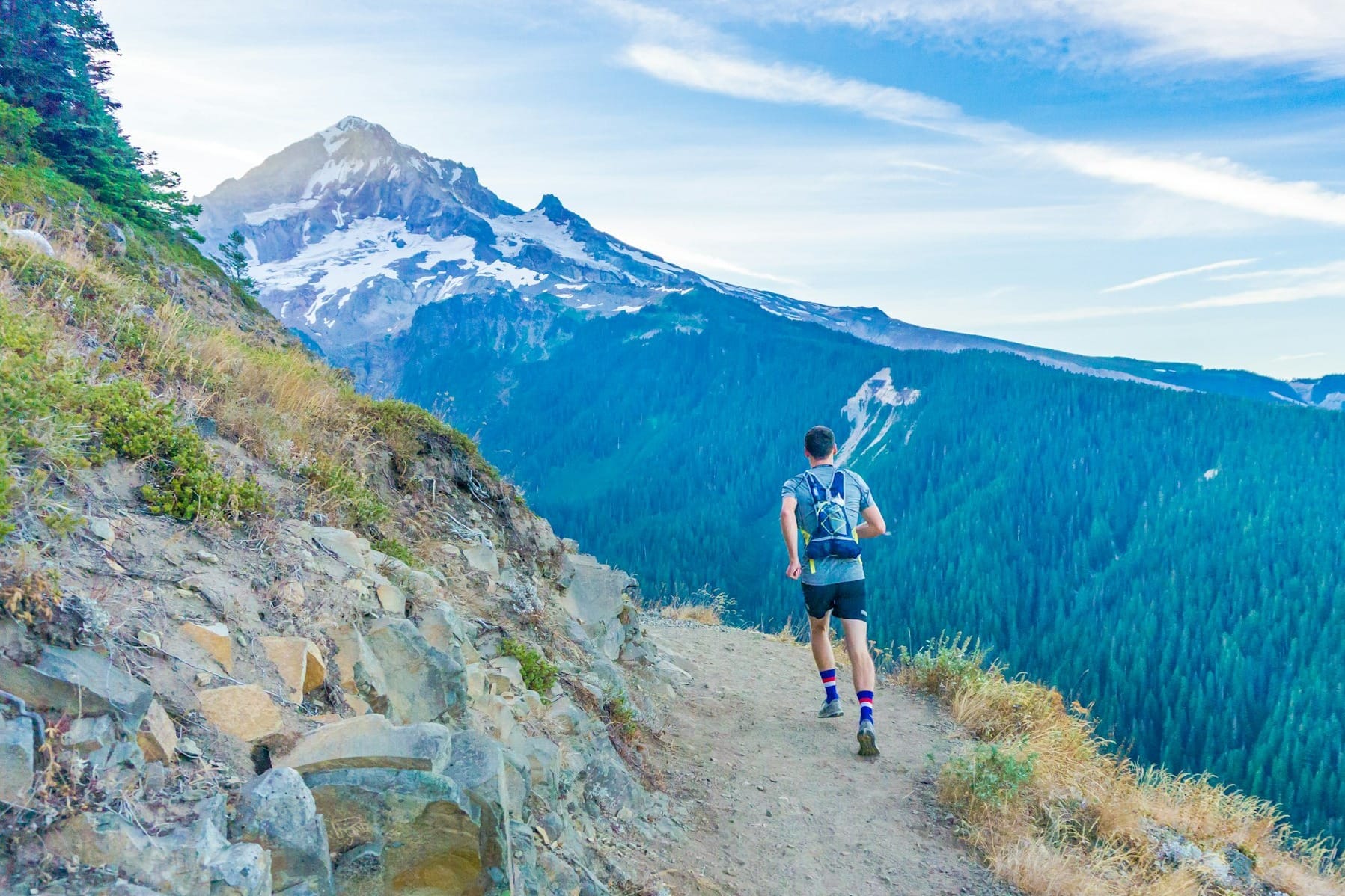
Zone 1/2 Time Trials
Uphill Hike / Vertical Gain Test
3,000-Meter Test or Other Short Time Trials

Core & Leg-Focused Repetitions
Other Strength Benchmarks
"Our bodies take time to adapt to training, so benchmark tests are useful if done every month or 6 weeks. Over that time period you can expect to see improvement."

To get reliable data, replicate the conditions of each test as closely as possible:
"Be creative with creating your own benchmark tests. When you see how much time you've dropped on that uphill run, or how many more sit-ups you can do, you'll be more psyched to keep training." — Pete Van Deventer, RMI Expeditions
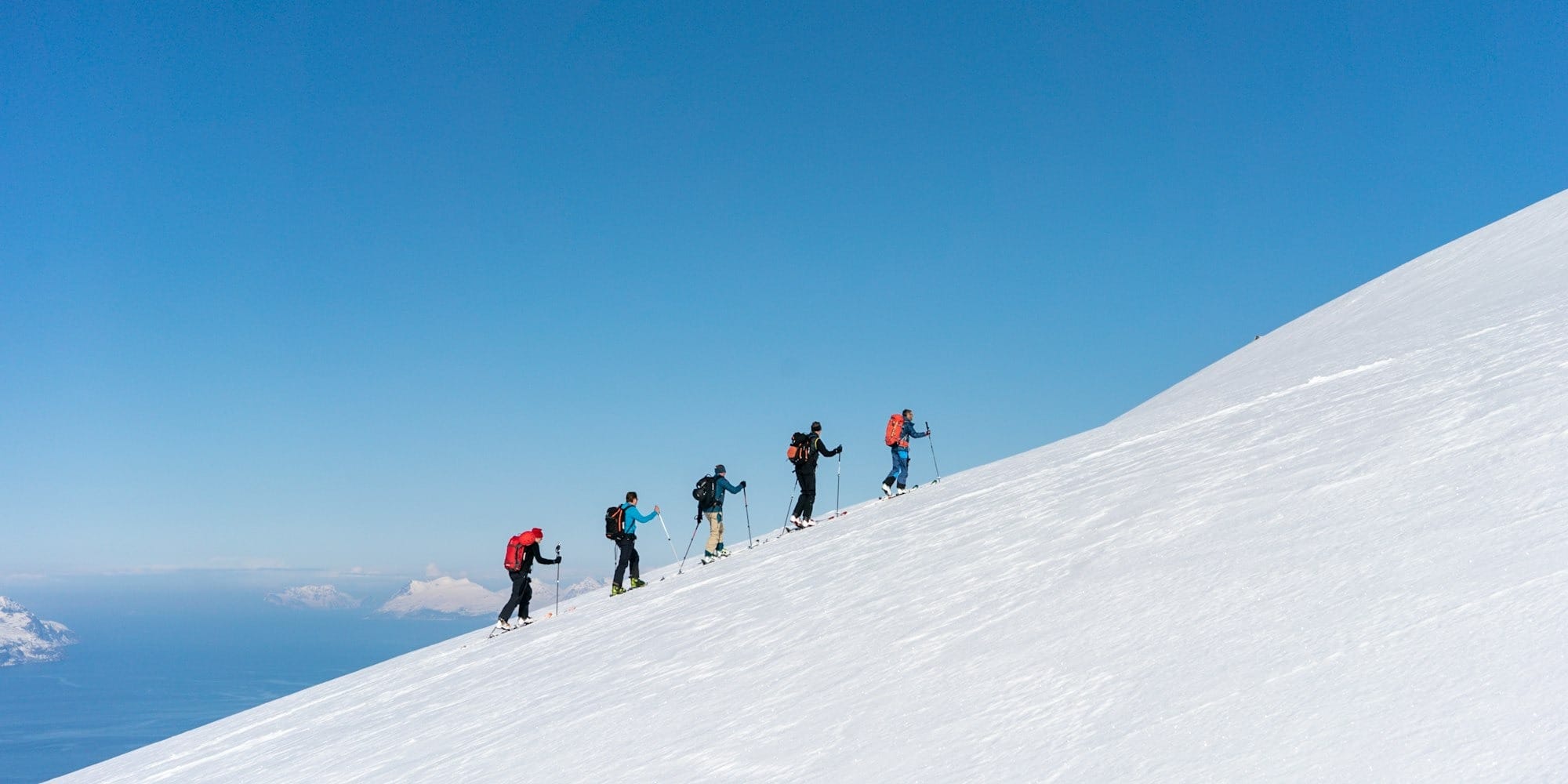
Testing isn't just about chasing numbers. It's about validating your hard work, adapting your plan to your actual needs, and staying motivated as your climb approaches.
By choosing tests that reflect real mountaineering demands—uphill speed, core strength, muscular endurance—you build a reliable feedback loop into your training. When summit day arrives, you can approach those steep slopes and loaded pack hauls with confidence, knowing you've tracked (and earned) every bit of progress along the way.
"A useful way to calm nerves is to do periodic benchmark tests. If you aren't seeing improvement, talk to a coach about how to adjust your training."
Stay consistent, be thoughtful in your testing, and watch your mountaineering fitness reach new heights.
]]>You're six hours into your summit push. Your legs feel like lead. Your brain is foggy. Even gentle slopes feel impossible. You just bonked, and there's still hours to go.
The bonk (also called "hitting the wall") is every climber's nightmare. It's that catastrophic energy crash that happens when your body runs out of its preferred fuel source: carbohydrates. And on long summit days that stretch from 12 to 15 hours or more, avoiding the bonk becomes critical to success.
The good news? You can train your body to burn fat more efficiently, preserving those limited carbohydrate stores and maintaining steady energy for the long haul. This guide breaks down how to become more "fat-adapted" so you can power through extended climbs without crashing.
When you're climbing for hours, starting in the dark, covering steep terrain, and facing changing weather, your body is under immense physical and mental stress. Success depends on two things:
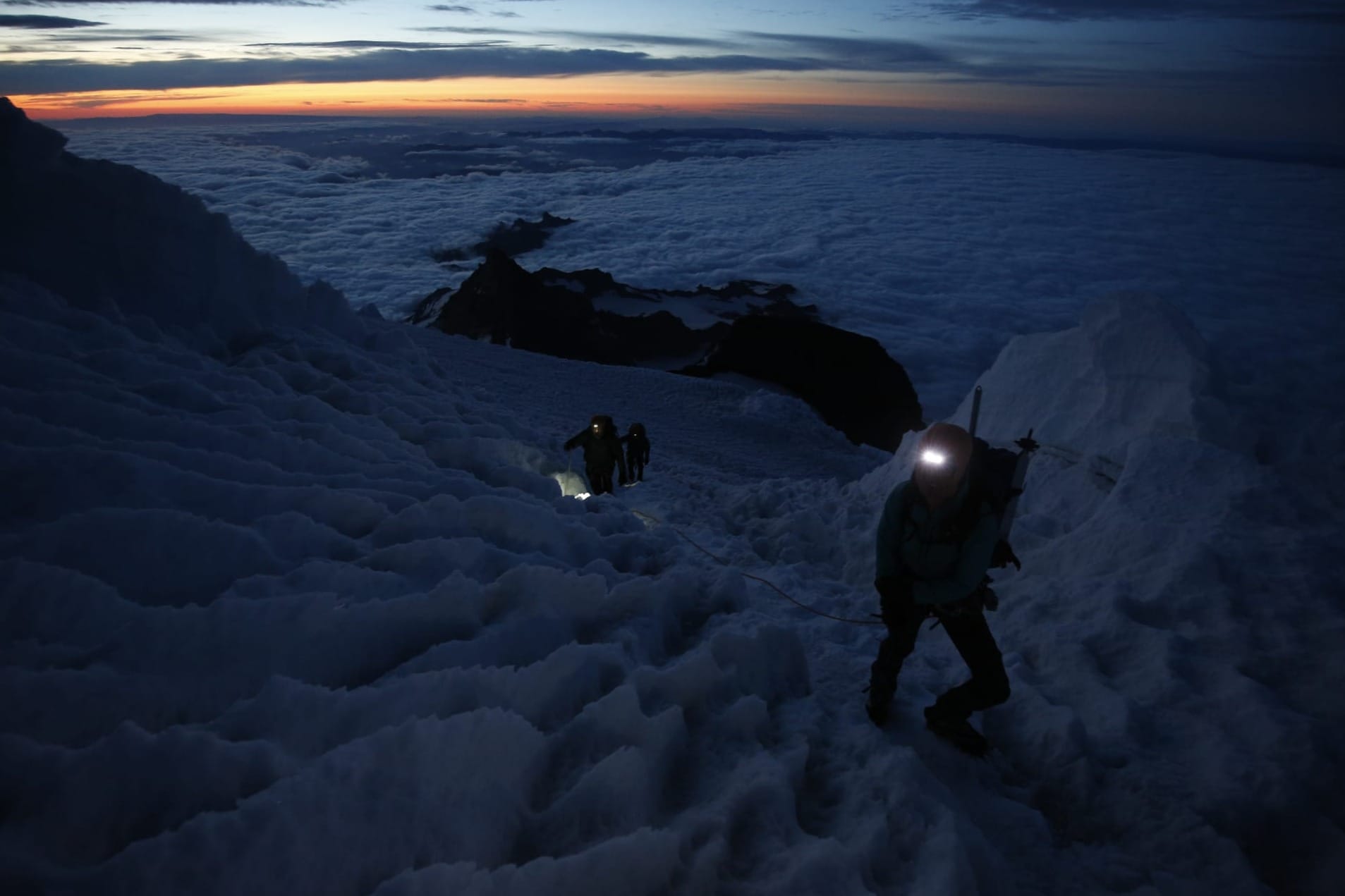
While carbohydrate intake remains important (carbs provide high-octane energy for intense efforts), research increasingly shows that improving your fat burning capacity helps you maintain more stable energy output over extended climbs. By becoming more fat-adapted, you tap into a virtually unlimited energy supply, reducing the risk of depleting your glycogen stores too early.
Your body relies on two primary fuel sources:

Bonking (sometimes called "hitting the wall") occurs when muscle and liver glycogen reserves hit rock bottom. Common symptoms include:
What's Happening Physiologically
When glycogen is depleted, your body scrambles to produce glucose from alternative sources (often muscle protein or blood glucose), leading to rapid energy decline. That's why climbers carry snacks (energy gels, bars, candy) on the mountain: to replenish carbs in small increments and stave off a full bonk.
However, the body can only absorb about 250 calories of sugar per hour, which is far less than the total energy burned in a steep, multi-hour climb. Training your body to rely more on fat helps fill that energy gap.
Fat is energy-dense (about 9 calories per gram, more than twice the energy of carbohydrates). However, the body typically prioritizes carbohydrate usage, especially at higher intensities, because it's faster to break down for quick energy.
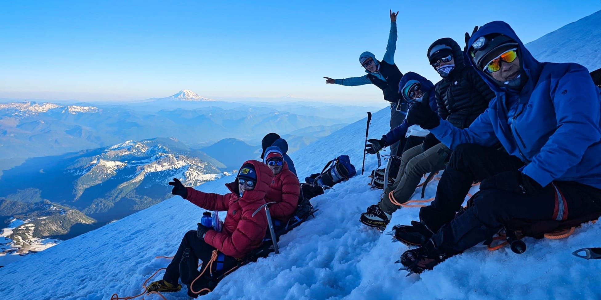
The secret to harnessing your fat reserves lies in two key strategies:
Key Biological Adaptations
The LCHF approach adjusts your daily food breakdown:
Sample LCHF Daily Meal Plan
Why Quinoa or Some Grains? A small portion of carbohydrate around training time can still be beneficial, especially for intense workouts or strength sessions.
Strict LCHF diets may hamper high-intensity bursts if taken to extremes. Some climbers prefer carb-cycling:
Note: The exact carb-to-fat ratio depends on personal response, training volume, and altitude requirements.
While adjusting your diet is crucial, pairing it with aerobic-focused workouts seals the deal. Fat burning thrives in sub-threshold or zone 2 intensities, typically 60 to 70 percent of your max heart rate, where you can still talk without gasping.

8-Week Aerobic Training Progression
Progress Tip: Monitor perceived exertion and heart rate drift. As you become fat-adapted, you'll maintain a lower heart rate at the same pace, indicating improved metabolic efficiency.
Fat adaptation isn't an overnight transformation. Expect 8 to 12 weeks of consistent dietary and training shifts before noticing significant changes like:
Common Challenge: The Adaptation Phase
The first 2 to 4 weeks can feel rough. Some people call this the "adaptation phase" or "low-carb flu," where energy levels fluctuate as your metabolism recalibrates. You might feel sluggish or foggy. This is normal. Ease into it, and avoid scheduling major summits or strenuous competitions during this transitional window.
Improving fat burning through diet and training is a proven approach for endurance sports, including mountaineering. By learning to tap into your near-limitless fat stores and preserve carbohydrate reserves, you reduce your risk of bonking and maintain more consistent, powerful performance over prolonged summit days.
With patience, consistency, and thoughtful adjustments, your body will respond by fueling climbs more efficiently, giving you the stamina to press on when others fade. Fat adaptation won't replace the value of carbohydrates completely, but it diversifies your energy options, ultimately supporting stronger, longer climbs in the high mountains.
Note: Nutrition and exercise plans should be tailored to individual needs and health conditions. Talk with a registered dietitian or medical professional for personalized guidance, especially if you have metabolic concerns, dietary restrictions, or ongoing health issues.
]]>Here's the truth: mountaineering asks a lot of your body. You need endurance to keep moving for hours. Strength to haul a heavy pack uphill. Balance to navigate tricky terrain. And the flexibility to recover quickly when conditions change.
Whether you're planning a multi-day expedition on Mount Rainier or heading for steep alpine routes elsewhere, a well-structured training program makes all the difference. You'll perform better, reduce your injury risk, and actually enjoy the climb instead of just surviving it.
This guide breaks down how to build your own mountaineering training plan. We'll cover the phases of smart periodization, how to develop a broad endurance base, and the essential components that make a strong mountain athlete. By the end, you'll have a personalized roadmap to get you summit-ready and apply to your 16 Week Training Plan template.
At its core, a solid mountain athlete is an endurance athlete. You need to handle a variety of intensity levels for long periods. Think carrying a heavy pack for hours of steady uphill, plus bursts of higher-intensity work when you hit challenging sections or need to move quickly through exposed terrain.
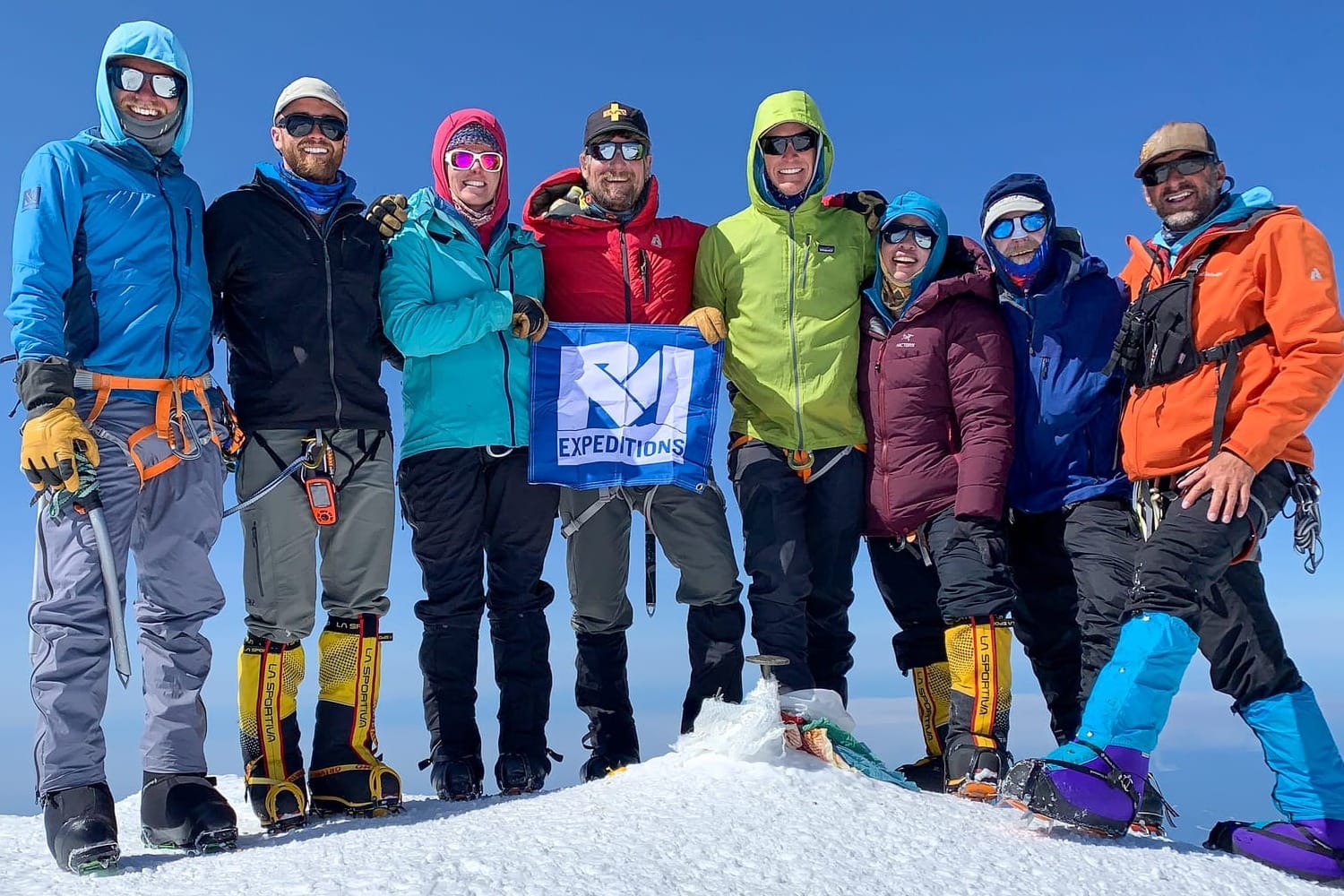
True endurance athletes excel at balancing long-and-steady efforts with short-and-explosive bursts on the same outing. That's exactly what mountains demand.
In the mountains, you need both working together so you can climb smoothly under load, adapt to unexpected terrain, and handle the demands of altitude.
"Training goals are critically important given the time constraints placed by weather, route conditions, objective hazards, and the effects of altitude."
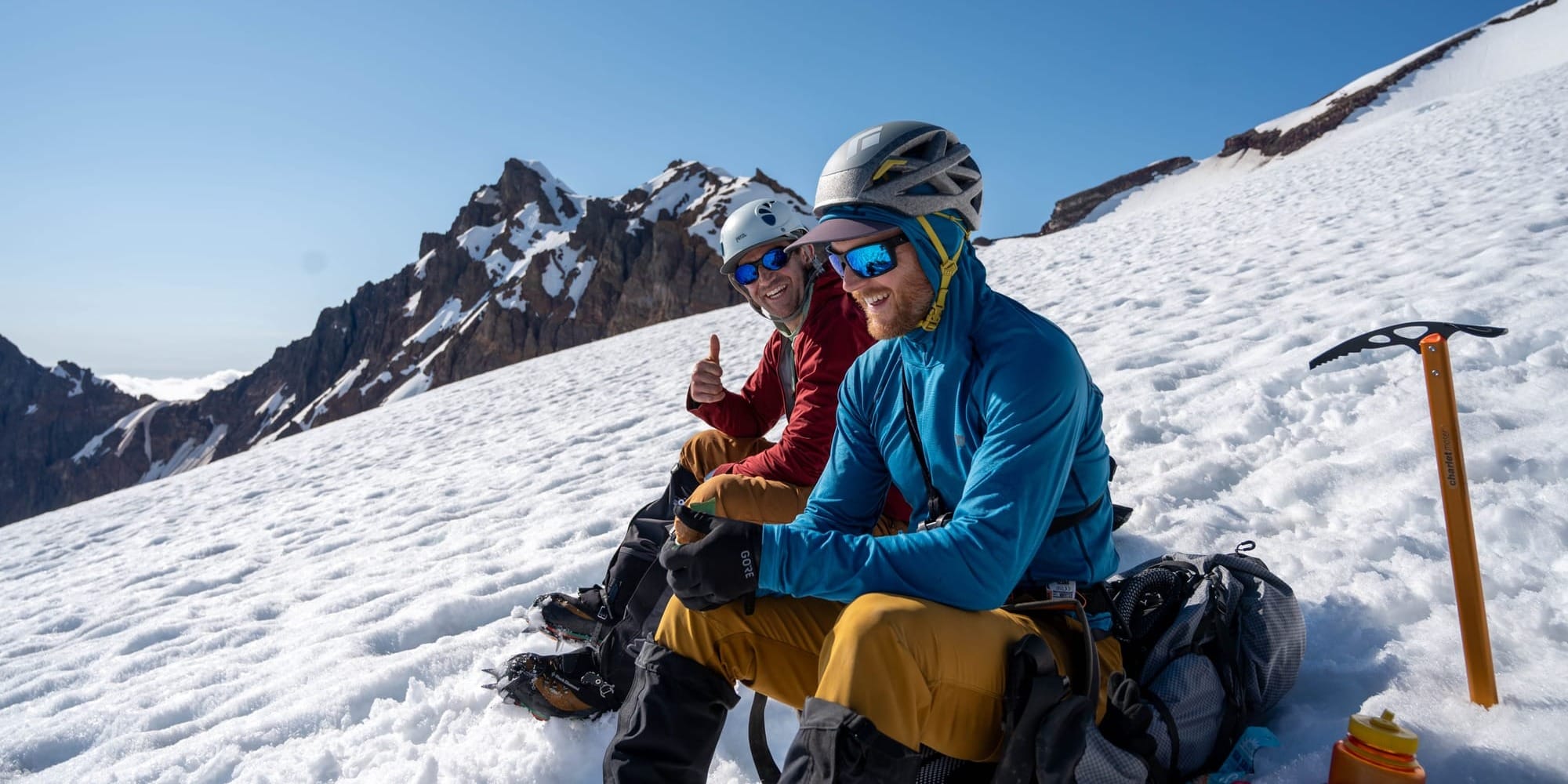
Before you dive into the specifics, ask yourself these questions:
Getting clear on these points helps you design a realistic, purpose-driven plan that actually prepares you for what's ahead.
Aerobic Training
"In order to train for the exhausting days in the mountains, you've got to get out and do lengthy training climbs. Nothing else will prepare you as adequately."
Interval Training

Endurance (Motor Skill)
"Endurance isn't just about your lungs. Your muscles and connective tissues need resilience too."
Strength & Power Training
"In addition to leg strength, mountaineering requires a strong core (back and stomach) as heavy pack weights add a new dimension to climbing."
Balance & Agility
"Balance exercises give you increased body awareness and aid in your ability to negotiate tricky terrain."
Stretching & Flexibility
"Stretching helps reduce muscular tension and increases flexibility. Don't stretch through pain. Hold each stretch at the point of tension."
A general schedule might look like this with aerobic, strength, balance, and stretching all get woven in, and interval or strength training spaced about every third day to allow recovery.
Regularly measuring your gains keeps you motivated and shows if your training needs adjustment:
Aerobic Endurance Tests
Strength & Core Tests
Interval / High-Intensity Tests
Frequency: Test every 4 to 6 weeks. Use the data to adjust your plan. If your interval performance stalls, consider adding more rest or varying the intensity of your intervals.
Phase 1: Base Fitness
Phase 2: Mountaineering-Specific Emphasis
Phase 3: Final Climb Prep
(Adjust according to your phase, local terrain, and personal schedule.)
Join our Strava Community!
Designing a mountaineering training program isn't just about logging miles or lifting weights. It's about sustainable progression, focused skill-building, and strategic rest. By weaving cardiovascular and motor fitness together over a three-phase timeline and layering in benchmarks along the way, you'll arrive at your expedition stronger, more confident, and ready for what's ahead.
No plan is set in stone. Adapt your routine to life's demands, weather, or emerging weaknesses you discover in training. The key is to stay flexible and committed. With a clear structure and balanced emphasis on endurance, strength, and skill, you'll enjoy the climb more, reduce the risk of injury, and come home with summit photos and a deeper appreciation for the journey.
Train well, climb safely, and savor every step of your mountaineering adventure.
]]>A Collection of Journal Entries From The Torre Valley - by Raymond Holt.
Introduction
Patagonia is a world renowned climbing destination and chances are, if you are reading this article, you have heard about it before. It is often seen by trekkers as a must-see location on their bucket list of travel destinations. To climbers, it is a far offland shrouded in mystery, adventure, and objective hazard. Where even the best of the best can have an “epic”, climbing for upwards of 43 hour pushes, or partake in the most fulfilling alpine adventures that exist.
I first heard of the range when I was twelve years old from Yvon Chouinard’s classic film, Mountain of Storms. When I was sixteen I had the privilege of seeing Mt. Fitz Roy with my own eyes while living in Argentina. The hanging glaciers, incredible scenery, and 2000 meter granite faces brought me to tears. At that moment I decided what I wanted to do with my life: become a climber.
After eight years of training all across the Western United States in all the various disciplines of rock, ice, and mixed climbing; my best friend and climbing partner made our first trip to the Massif. There we successfully achieved a little boy's dream of standing on top of the most inspiring mountain I have ever seen. Via the route that inspired it all, Chouinard’s Californiana. It was quite the surreal feeling.
Now we are back for another season and more motivated than ever! Each day out in the mountains I keep a journal. The following article includes snippets of life at Niponino, our basecamp in the Torre Valley for the following month, as well as accounts of the climbing.
Good Weather, Stunning Views, Salame
Today marks the start of our Patagonian Adventure. The holy grail of alpine climbing in the Americas. Splitter cracks on golden granite that seems to never end; pointy agujas and sheer faces towering up to 6000’ in vertical relief; all protected by long approaches, rime covered summits, and wind only patagonia could produce. What more could you ask for? Many travel thousands of miles just to catch a glimpse of the massif, all to be denied by the region’s fickle weather. As I write this from the comfort of our first light, I peak outside and see the thousand meter walls on either side of the torre valley rising high, both intimidating and deeply inspiring.
The walk into Niponino is not for the faint of heart though it starts offquite pleasurable. A meander through mystic forests like that of a children’s book brings you to Laguna Torre. From there you cross the famous Tyrolean to cross the river and start your ascent around the south side of the lake. The trail declines significantly until it disappears entirely. After a number of hops, skips, and jumps over dry glaciers and moraine you have the pleasure of making it to Niponino.
I felt quite ill on the approach and the packs were heavy, but Cerro Torre was in full view calling us home like a lighthouse during a storm. Encouraging us to continue on. We plan to spend a month in the sacred town of El Chalten and the Torre Valley will act as our basecamp. We have a somewhat windy weather window but a weather window all the same. Our goals are Rubio y Azul on the Medialuna (350m 6c) and Chiaro di Luna on Saint-Exupery (750m 6b+). Two five star climbs and area classics. Life is good.
Peace, Love, Gratitude.
-RH
Splitters, Perseverance, A Strong Partner
I started feeling sick right before the 27 hour bus ride to El Chalten. I thought I could sleep the whole bus ride and feel better by the time we rolled into town. When that didn’t happen, I imagined the walk into Niponino would remedy my ailments. It is starting to seem like rest may be the only ticket. All that aside today we dusted offthe climbing cobwebs on Rubio y Azul after our respective winters in Colorado and Vermont. The approach was somewhat cumbersome and wandery in the dark. While descending the same scree field I came to the realization that maybe there is no easy way from Niponino to Noruegos where we gain the glacier.
We blasted offfrom the base of the route at 6:49am, racked and ready to go. We were full of both excitement and uncertainty. Climbing here carries the extra weight of no helicopter rescue always looming in the back of your mind. You truly are “on your own”. Jayden took the first four pitch block and I the second. Each block containing its own “money pitch”. The third pitch of my block before heading into Medialuna’s infamous chimney was the most enjoyable crack I have ever climbed in my life. Half way through the pitch of perfect hands the sun popped out for a few minutes and I had to appreciate where we were. Deep blue glaciers 1000’ below us on either side, Cerro Torre above us, and Mt. Fitz Roy at our backs. That brief moment was the last we would see of the sun all day. As we worked our way up the snow began to flurry and the winds picked up to 35-40mph.
Neither frozen hands nor sore feet could take away from the joy of standing on top. During the rappels we were briefly reminded of an experience we had descending Mt. Fitz Roy last season. High winds, equal stuck ropes. Luckily this time we eventually got our lifeline back and continued down cautiously. Back safely at Niponino we enjoy warm sleeping bags and full stomachs. The forecast is looking windier than before and I am feeling sicker than I would have hoped. Either way tomorrow is a rest day in one of the most inspiring campsites there is.
Peace, Love, Gratitude.
-RH
Chocolate, Siestas, Stretching
Rest day. Last night snow and wind made us retreat to the tent fairly early. I slept for twelve hours. This morning the high pressure returned; sunny and windy. Large plumes of snow have been wisping offAdela Peak’s cornice covered summit all day. Not too much to tell today. Stretched our sore bodies, sorted gear, and watched our food supplies slowly dwindle away. Tomorrow we have decided to pivot to a different objective. Partly due to the forecasted winds, mostly on account of me still feeling under the weather. Our objective is still a worthy endeavor. The Frader-Pisafe (400m 6c+) on el Mocho is a striking line on an inspiring wall. Happy to be alive and have the freedom to do what I love.
Peace, Love, Gratitude.
-RH
Weather, Partner you know and trust, Healthy Body - Jayden
El Mocho! Wow what a line. 1500’ of perfect granite sporting a 150m dihedral. Possibly the longest continuous corner system I have ever had the privilege to climb. This morning we got out of camp at 4:30am and made it to the base of the route by 6:00am. The approach was short by Patagonian standards but arduous. I got my foot wet while crossing the creek, and then went for a bit of a ride traversing the scree slope getting to Noruegos. Almost being crushed by a loose boulder about the size of a lawn mower. We set offat 6:30 just after finishing our last sips of coffee while racking up.
The first two pitches before gaining the dihedral were fun and bouldery but sparsely protected. The corner system had a wide variety of climbing styles: hands, finger cracks, stem problems where the seam petered out, and even some burly offwidth. The crux was a cool layback/undercling roof crack with an old rusty bolt right where you wanted it. Sometimes you clip these archaic bolts merely because they are there and make you feel warm and fuzzy rather than their actual utility in catching a leader's fall. It's what we call “psychological protection” in the climbing world. The summit was guarded by wet cracks and a long squeeze chimney which required careful footwork, tough elbow skin, and just enough grit to get by. In order to make it all the way to El Mocho’s summit you had to want it.
At the top a tear came to my eye. We could see from the Pollone group all the way to the turquoise blue water of Lago Viedma and beyond into the Patagonian desert. I looked at my best friend smiling ear to ear and couldn’t imagine a more perfect outing. Right offthe bat our rope stuck in the chimney on the way down. Without skipping a beat I led back up, freed the rope, and down climbed back to the anchor. Here in Patagonia the descents are very involved, there are little to no bolts on route. Only pitons; nuts; and old pieces of tat worn by the sun, wind, and rain are your way down. We went along lento y confiable, improving stations as we saw fit. Then skirted down slabs and scree happily back to camp. My nose sprung a leak covering my white sunhoody in blood which was the perfect excuse to wash offin the waterfalls coming offthe slabs by Noruegos.
All in all we were camp to camp sub eleven hours. Tomorrow we walk out back to Chalten to wait out the impending storm and rest our tired bodies. A successful primer pegue.
Peace, Love, Gratitude.
-RH
Now we sit in Chalten, getting fat office cream and Asado awaiting the next good weather window. A few days of rest will do us good but we are excited to go back to the Massif. Stay Tuned!
Raymond Holt
IG: raymond__holt
A special thank you to the Wilhelms for supporting this trip. LiveLikeLuke.
]]>Written by RMI Expeditions Guide Sam Hoffman.
Earlier this winter, I had the opportunity to complete the American Mountain Guides Association (AMGA) Ice Instructor Course, a five-day immersion into the craft of teaching, guiding, and moving efficiently through technical ice and mixed terrain. I took the course alongside two RMI guides, Calvin Jiricko and Raymond Holt. This course is an important step in any alpine guides path for the pursuit of professional standards in guiding.
The course focused on the skills required to instruct and guide technical ice climbing at a high level. We spent our days refining systems for leading, belaying, and managing guests on steep ice, as well as practicing instructional techniques that translate complex movement and risk management into clear, effective teaching. Beyond individual skills, there was a strong emphasis on decision-making, terrain assessment, and adapting techniques to real-world objectives—the same objectives many of our guests aspire to climb.
We started with shorter mixed and dry-tooling routes along Camp Bird Road outside of Ouray, dialing in precise movement and efficient systems on steep, technical terrain. Drytooling and mixed climbing begs the question: Why are you rock climbing with ice-tools in your hands? While it seems silly from a far, this is an engaging climbing method that helps with body positioning and movement to climb larger objectives. As the week progressed, we transitioned to longer waterfall ice routes near Silverton, Colorado, climbing up to seven pitches in a day.
Throughout the week, it was impossible not to draw direct connections to classic routes that RMI guides regularly teach and guide. The techniques we practiced are directly applicable to climbs like the Kautz Glacier on Mount Rainier, the North Ridge of Mount Baker, and more technical objectives in the Alaska Range. The course reinforced how foundational ice skills support success on big mountain routes.
(Photos/Raymond Holt)
One of the most valuable aspects of the experience was working closely with other RMI guides. I feel lucky to work alongside side guides like Ray and Calvin who’s passion for the craft reflects that of RMI’s guide team. If you have been lucky enough to share the rope with these two, their character speaks for itself. When a member of the public joins an RMI program, they benefit from guides who are aligned not only in technical systems, but also in teaching philosophy and decision-making under pressure.
Weeks like this reinforce why I’m proud to be part of programs that value ongoing education and teamwork. A very big thank you to RMI’s management for the support, Colorado based RMI guides who helped us prepare and allowed us to stay with them for the duration of the course, and of course the AMGA Instructor Team.
Written by RMI Expeditions Guide Layne Peters.
This fall, I had the chance to take the AMGA Rock Guide Course alongside a group of fellow RMI guides plus one colorado mountain guide. Spending a week immersed in climbing, anchors, and rescue systems with people I already work with on Mt. Rainier made the experience way more meaningful than I expected.
It wasn’t just another training course — it felt like an investment in the way we work together as a team.
Usually, AMGA courses bring together guides from all over — different companies, regions, and styles. But this one was different. Every participant, with the exception of one, was a guide from RMI. We already knew how each other moved in the mountains, how we communicated, and what it meant to trust one another with a rope.
That familiarity let us dive straight into learning. There was no awkward first-day feeling — just a crew of guides eager to sharpen skills we use every day on Rainier. Whether we were building complex anchors or running through rescue scenarios, the lessons always circled back to our work on the mountain.
It was cool to see how the systems we practiced on rock apply directly to glacier guiding. Belay transitions and rope management mirrored the efficiency we need during crevasse rescues. Anchoring principles connected perfectly to snow and ice protection. Every day, I found myself thinking, “Yeah — this is going to make me better on Rainier.”
One of the biggest takeaways was how much we learned from each other. When you guide together, you see each other at work — on summit days, in bad weather, managing clients — but rarely do you get to slow down and talk through the finer points of technique and decision-making.
The course created that space. We broke down systems, compared habits, and saw firsthand how each of us handles pressure. It was like watching a behind-the-scenes version of our guiding style — and it gave me a deeper respect for the people I climb with.
You can’t really fake trust in the mountains, and doing this course together reinforced it. I left feeling even more confident in my teammates — not just their technical ability, but their judgment, their calm, and their communication.
By the end of the week, it was clear that what we learned on the rock wasn’t staying there. The efficiency we practiced building anchors transfers directly to glacier travel. The rescue drills mirror what we do in crevasse systems. Even just thinking through client management and transitions has huge value on big alpine climbs.
It’s easy to think of professional development as checking boxes or earning credentials, but this course was way more than that. It reminded me that guiding is a craft — something you can always refine. And doing that alongside people who share the same goals and terrain made it all the more worthwhile.
I left the course feeling proud — not just of what we learned, but of the kind of guides we’re becoming together. There’s something special about learning with the same crew you’ll be roped up with at 14,000 feet on Rainier.
We came away better technically, sure, but also tighter as a team. More in sync. More thoughtful about how we move and communicate. And in the guiding world, that matters just as much as all the rest.
]]>Let’s be honest: no one wakes up ready for glaciated ridges, 2 a.m. starts, or that final hour when your legs feel like overcooked noodles. The bridge between where you are today and where you want to be on bigger mountains is built, step by step, with time on trail. That is exactly why trekking shines. It is accessible, it is high-value training for the body and mind, and it delivers an adventure that stands on its own.
Below, we’ll cover why trekking is such powerful preparation for mountaineering, how it builds real expedition skills, why many climbers treat treks as “low-risk altitude labs,” and where RMI treks fit into that progression.
Trekking stacks long, steady efforts over varied terrain. That is the sweet spot for improving aerobic capacity and muscular endurance, which in turn supports better pacing and decision-making on summit pushes. Research shows hiking/trekking improves cardiovascular health and muscle endurance, especially when routes include hills and uneven surfaces that challenge balance and stabilizers.
Carrying a backpack for hours at moderate intensity trains your posture, hips, and core in ways a stationary bike cannot. Load carriage research highlights the unique respiratory and metabolic demands of walking uphill with a pack, which is exactly what you will do on approach days and during glacier travel. The goal is not maximal weight, but consistent, good-form time under load to adapt connective tissue and reduce injury risk.
Nature time reduces stress, improves mood and attention, and helps you recover psychologically from hard training blocks. That matters. Calm brains make better decisions when the weather turns or plans change at altitude. Systematic reviews and position statements consistently show meaningful mental health benefits from nature-based activity like trekking.
One of the smartest reasons to trek before a mountaineering objective is to learn how your body responds to elevation without the pressure of a summit clock. Wilderness Medical Society guidelines emphasize gradual ascent, “climb high, sleep low” strategies, and rest days to lower the risk of acute mountain sickness. Classic trekking itineraries make that cadence natural.
You will practice the fundamentals that really move the needle at altitude: slow pacing, steady hydration, and honest self-monitoring for headache, nausea, or sleep disruption. That experience transfers directly to bigger climbs later on. Practical advice from alpine organizations echoes this approach, including building in extra acclimatization days and, when possible, using nearby peaks to pre-acclimatize before a higher objective.
Learning your sustainable “all-day” pace is gold. Treks teach you to read your breathing and legs, not your ego, and to fuel before you fade. Those habits keep rope teams efficient when the terrain turns technical.
Multi-day travel forces discipline around sleep, foot care, layering, sun protection, and hydration. These are the quiet skills that prevent small problems from ending big objectives.
You’ll move in wind, rain, heat, and cool mornings. You’ll make thousands of micro-decisions about traction, balance, and poles. That familiarity lowers cognitive load when you later add ropework or crampons.
On long treks, groups become teams. You’ll practice communication, honest check-ins, and that gentle nudge that keeps everyone moving. Those social skills matter just as much on summit pushes as a perfect figure-eight.
Each trek below can be an end goal or a strategic stepping stone toward bigger climbs. We’ve noted what each tends to build particularly well.
Kilimanjaro is the world’s highest freestanding mountain and a classic high-altitude trek with little glacier travel. Expect big aerobic days and textbook acclimatization, with a summit push that rewards smart pacing and steady nutrition. It is ideal for learning how your body handles 5,000+ meters while practicing camp routines and recovery day to day.
A cultural and altitude masterclass rolled into one. EBC’s gradual ascent profile, rest days, and “climb high, sleep low” side hikes mirror best-practice acclimatization guidance. You will refine layering, hydration, and pacing at elevations where many people first feel the real effects of thin air.
Quieter than the main EBC corridor and equally rich in altitude practice. Crossing high passes and visiting the turquoise Gokyo Lakes demands consistent pacing and solid nutrition strategies. The views from Gokyo Ri are a powerful “internal summit” moment and a confidence boost for future mountaineering.
Think “endurance and culture.” Long trail days at moderate to high elevation polish aerobic capacity, footwork on stone steps, and recovery routines. It is a perfect build phase for climbers, and an unforgettable standalone adventure for trekkers.
Wind, weather, and long mileage days in world-class scenery. Patagonia teaches you to adapt quickly, protect calories and warmth, and stay positive when the forecast has “character.” Strong expedition self-care here pays dividends on future alpine routes.
Plenty of athletes choose trekking as the finish line, not just a training block. That choice makes total sense. Treks deliver immersive travel, culture, and big-landscape awe without the technical risks of mountaineering. They are physically honest, mentally restorative, and deeply social. The science backs that up, too: time in nature improves mood and reduces stress while you build durable, low-impact fitness that supports health for years.
Trekking is not “just hiking.” It is targeted endurance work, high-value altitude learning, and a masterclass in expedition self-care. It builds the engine and the habits that carry you when a glacier, a headlamp, and your own grit are all you have. Whether your dream is a high camp sunrise on a big mountain or a lifetime of trail-first travel, trekking moves you there, one steady day after another.
If you are mapping your path, start with an itinerary that excites you: a cultural arc to Everest Base Camp or Gokyo, a wind-polished week in Torres del Paine, a bucket-list push on Kilimanjaro, or a history-rich walk to Machu Picchu. Treat it as both adventure and training. Your future self, standing higher, calmer, and more prepared, will be very glad you did.

RMI Expeditions
30027 SR 706 East
Post Office Box Q
Ashford, WA 98304
Phone:
1 (888) 892‑5462
Email:
[email protected]